The days
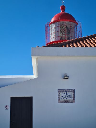
Day 1 · February 1
The beginning at the end of the world
Farol do Cabo de São Vicente → Sagres · 8.6 km · ↗ 85 m
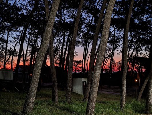
Day 2 · February 2
Cliffs, waves and the first blisters
Sagres → Salema · 20.6 km · ↗ 478 m
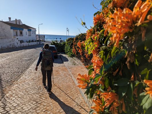
Day 3 · February 3
Lopen Langs Lagos
Salema → Lagos · 21.1 km · ↗ 571 m
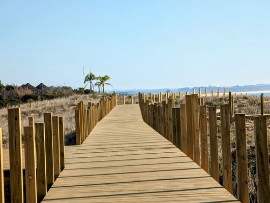
Day 4 · February 4
Through dunes and across estuaries
Lagos → Alvor · 21.3 km · ↗ 89 m
Day 6 · February 6
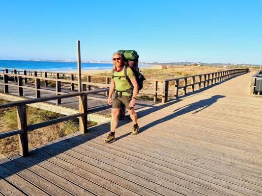
By boat across the river
Alvor → Ferragudo · 19.8 km · ↗ 166 m
Day 7 · February 7
Red rocks and hidden beaches
Ferragudo → Armação de Pêra · 23.1 km · ↗ 508 m
Day 8 · February 8
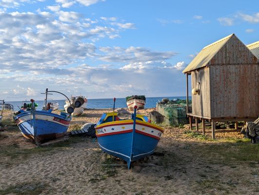
The Fisherman's Trail at its finest
Armação de Pêra → Albufeira · 14.8 km · ↗ 166 m
Day 9 · February 9
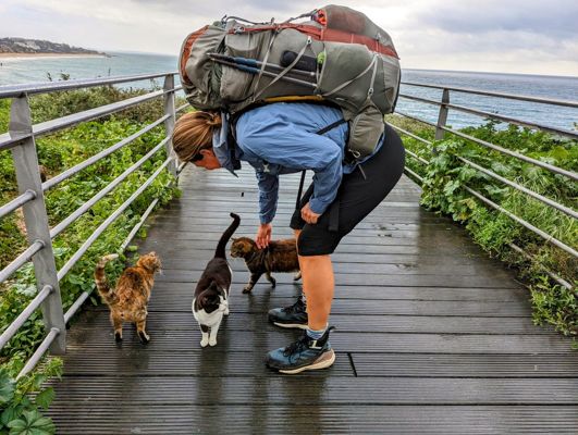
The Fisherman's Trail at its finest
Albufeira → Olhos de Água · 14.4 km · ↗ 216 m
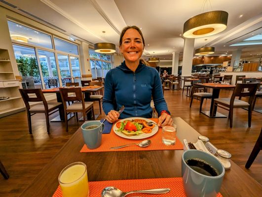
Day 11 · February 11
Farewell to the cliffs
Olhos de Água → Ponte de Baixo · 22.7 km · ↗ 130 m
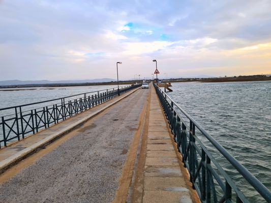
Day 12 · February 12
The Ria Formosa and her flamingos
Ponte de Baixo → Olhão · 24.1 km · ↗ 78 m
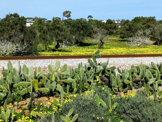
Day 13 · February 13
Salt pans and barrier islands
Olhão → Fuseta · 8.3 km · ↗ 11 m
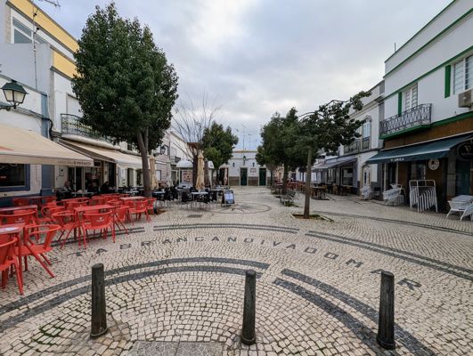
Day 14 · February 14
Eastern Algarve in spring
Fuseta → Conceição · 25.3 km · ↗ 111 m
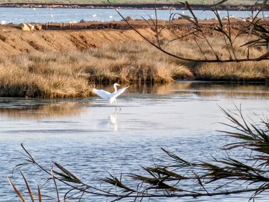
Day 16 · February 16
Endless beaches toward Spain
Conceição → Monte Gordo · 18.3 km · ↗ 21 m
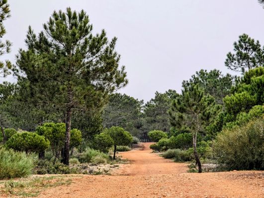
Day 19 · February 19
By ferry across the border
Monte Gordo → Ayamonte · 25.3 km · ↗ 400 m
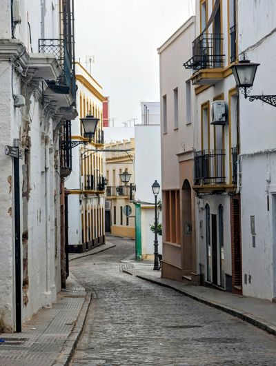
Day 20 · February 20
By ferry across the border
Ayamonte → Lepe · 22.9 km · ↗ 67 m
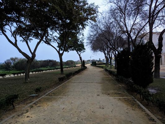
Day 21 · February 21
Welcome to Spain
Lepe → Huelva · 37.6 km · ↗ 84 m
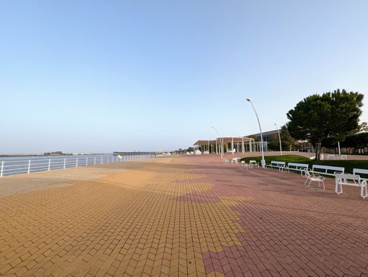
Day 22 · February 22
Through the pine forests of Huelva
Huelva → Mazagón · 33.1 km · ↗ 88 m
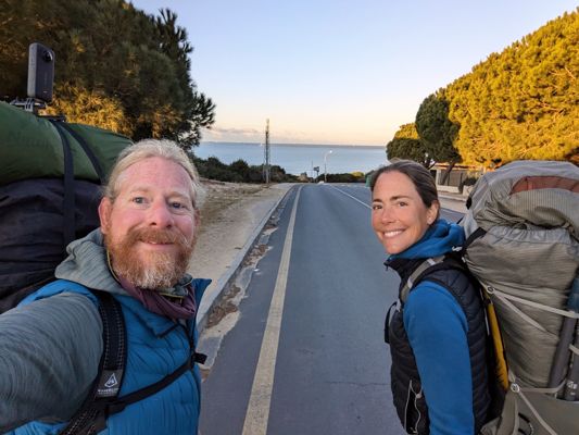
Day 25 · February 25
On the edge of Doñana
Mazagón → Matalascañas · 27.5 km · ↗ 108 m
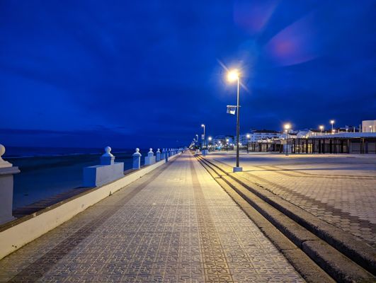
Day 26 · February 26
The endless boardwalks of Doñana
Matalascañas → Sanlúcar de Barrameda · 33.5 km · ↗ 250 m
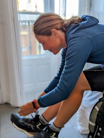
Day 27 · February 27
Along the beach by the Guadalquivir
Sanlúcar de Barrameda → Playa de la Ballena · 17.4 km · ↗ 68 m
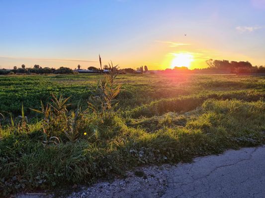
Day 28 · February 28
Coast, wind and Atlantic waves
Playa de la Ballena → El Puerto de Santa María · 23.5 km · ↗ 214 m
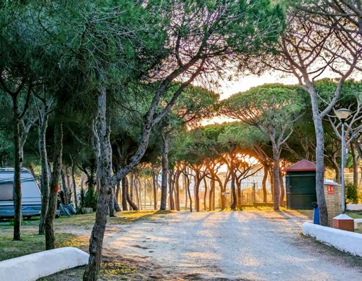
Day 32 · March 4
The Bay of Cádiz
El Puerto de Santa María → San Fernando · 26.3 km · ↗ 101 m
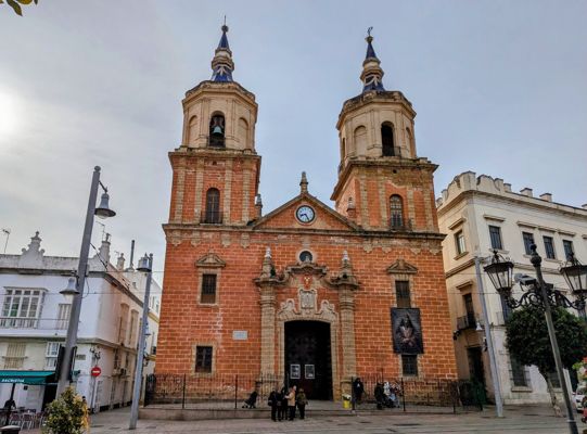
Day 33 · March 5
Through the salt pans
San Fernando → Chiclana de la Frontera · 13.8 km · ↗ 41 m
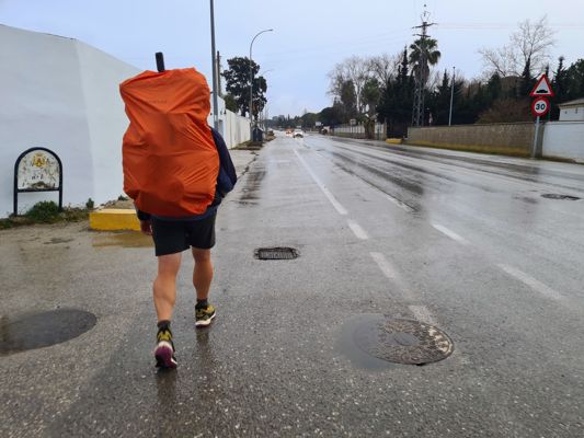
Day 34 · March 6
Endless beach
Chiclana de la Frontera → Playa de El Palmar · 27.5 km · ↗ 149 m
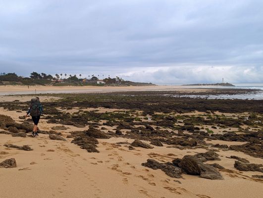
Day 37 · March 9
Along the cliffs of Caños de Meca
Playa de El Palmar → Barbate · 24.7 km · ↗ 2190 m
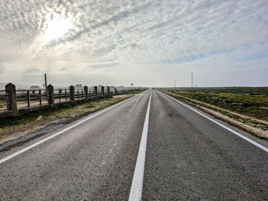
Day 38 · March 10
Roman ruins by the beach
Barbate → Bolonia · 19.4 km · ↗ 207 m
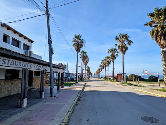
Day 39 · March 11
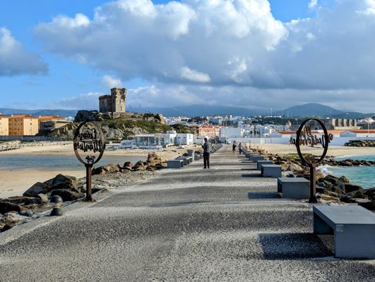
The southernmost point of Europe
Bolonia → Camping La Peña · 12.5 km · ↗ 120 m
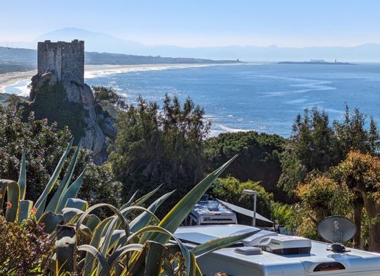
Day 40 · March 12
The southernmost point of Europe
Camping La Peña → Tarifa · 7.8 km
Day 48 · March 20
With Africa on the horizon
Tarifa → El Cuartón · 19.8 km · ↗ 675 m
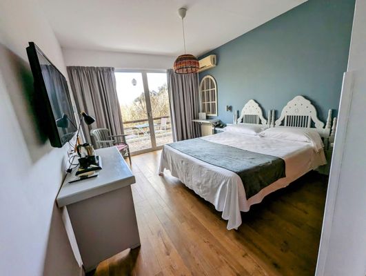
Day 49 · March 21
Through the cork oak forests
El Cuartón → Los Barrios · 23.9 km · ↗ 374 m
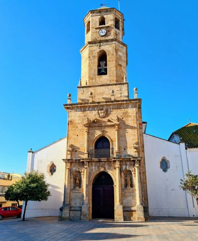
Day 51 · March 23
Sleeping in a castle
Los Barrios → Castillo de Castellar · 25.9 km · ↗ 641 m
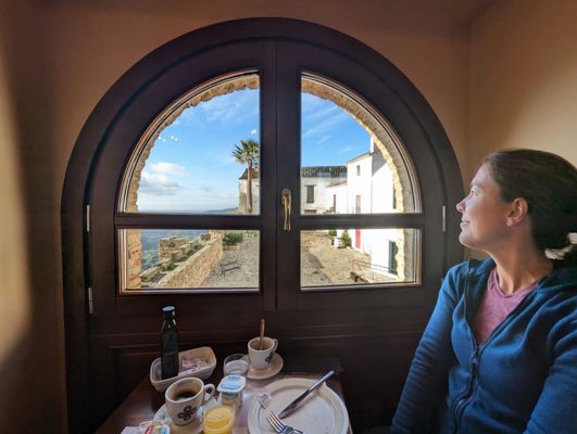
Day 52 · March 24
White villages in green hills
Castillo de Castellar → Jimena de la Frontera · 22.9 km · ↗ 182 m
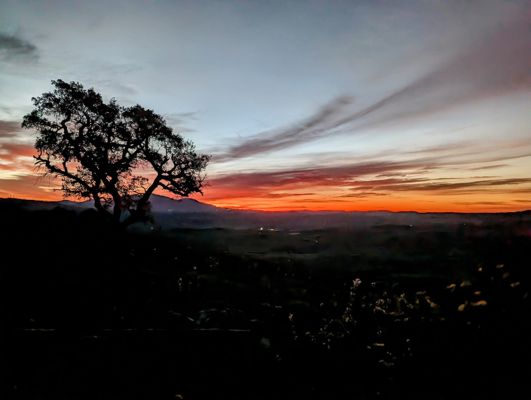
Day 55 · March 27
The longest day so far
Jimena de la Frontera → Ubrique · 37.7 km · ↗ 1254 m
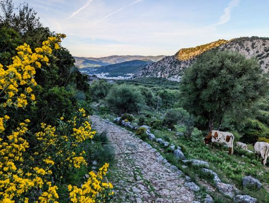
Day 57 · March 29
On Roman roads to the hidden plateau
Ubrique → Montejaque · 26.7 km · ↗ 982 m
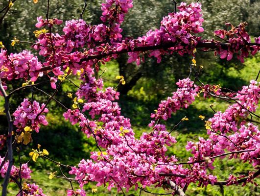
Day 58 · March 30
The famous gorge of Ronda
Montejaque → Ronda · 11.8 km · ↗ 416 m
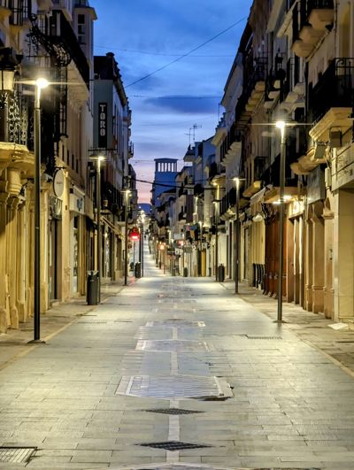
Day 59 · March 31
A patchwork of fields and olive groves
Ronda → Olvera · 28.2 km · ↗ 612 m
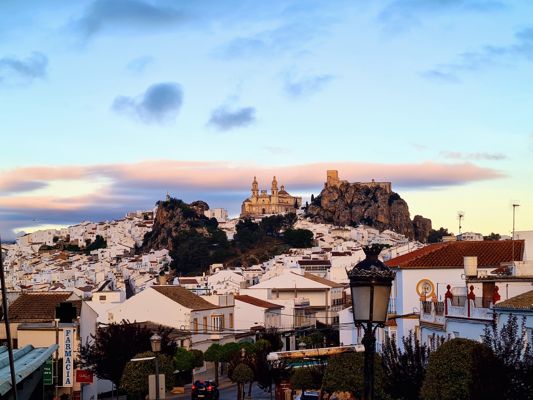
Day 61 · April 2
The railway where no train ever ran
Olvera → Coripe · 25.8 km · ↗ 111 m
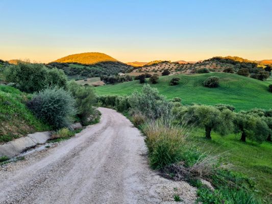
Day 62 · April 3
From hill country to endless plain
Coripe → El Coronil · 29.7 km · ↗ 428 m
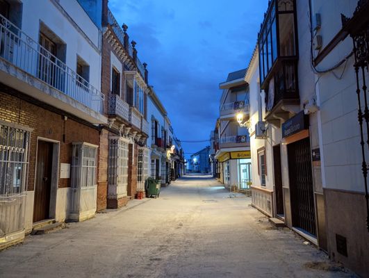
Day 63 · April 4
Sunflower fields and solar panels
El Coronil → Utrera · 20.7 km · ↗ 99 m
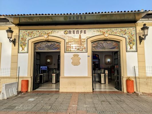
Day 68 · April 9
Easter Sunday at the Plaza de España
Utrera → Sevilla · 36.4 km · ↗ 141 m
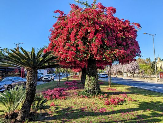
Day 71 · April 12
The amphitheatre of Italica
Sevilla → Guillena · 24.3 km · ↗ 99 m
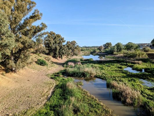
Day 72 · April 13
The shortest stage, the friendliest villages
Guillena → Castilblanco de los Arroyos · 18.0 km · ↗ 429 m
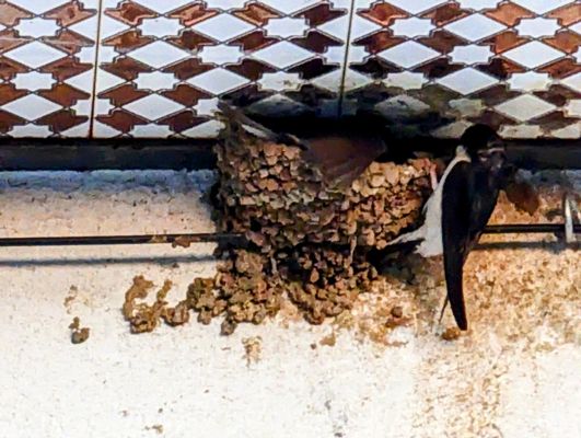
Day 73 · April 14
Seventeen kilometres of asphalt, then: Sierra Morena
Castilblanco de los Arroyos → Almadén de la Plata · 30.2 km · ↗ 541 m
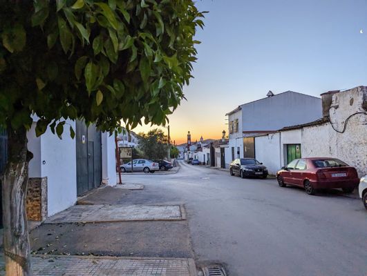
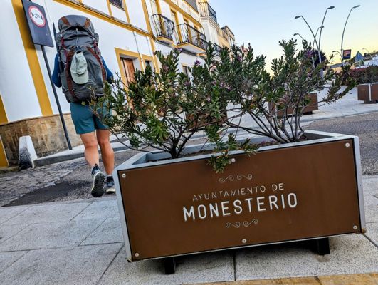
Day 74 · April 15
The border of Extremadura
Almadén de la Plata → Monesterio · 34.7 km · ↗ 687 m
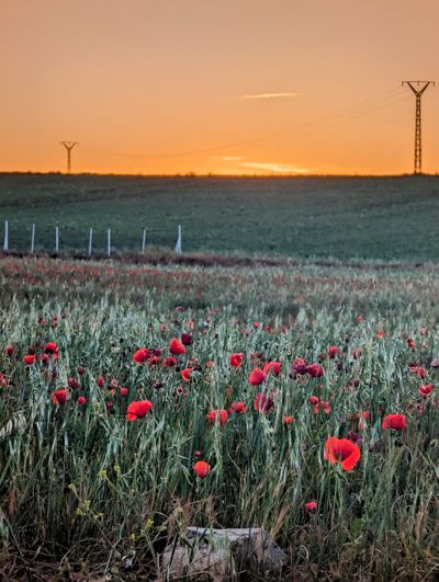
Day 76 · April 17
A shepherd, his dog and nine sheep
Monesterio → Fuente de Cantos · 22.5 km · ↗ 187 m
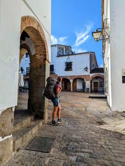
Day 77 · April 18
One year on the road
Fuente de Cantos → Zafra · 26.0 km · ↗ 134 m
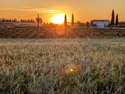
Day 78 · April 19
Over the Sierra de los Olivos
Zafra → Villafranca de los Barros · 21.0 km · ↗ 214 m
Day 79 · April 20
The land of wine
Villafranca de los Barros → Torremejía · 27.2 km · ↗ 57 m
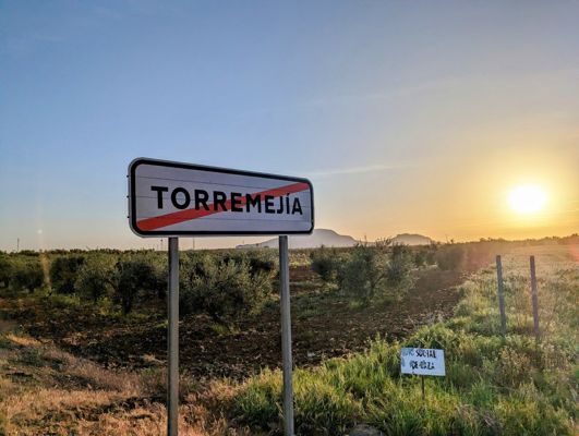
Day 80 · April 21
The Roman bridge over the Guadiana
Torremejia → Mérida · 15.7 km · ↗ 68 m
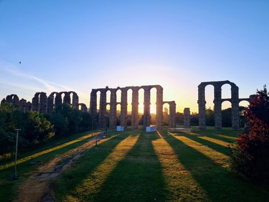
Day 82 · April 23
The reservoir the Romans built
Mérida → Aljucén · 17.4 km · ↗ 185 m
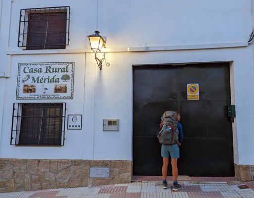
Day 83 · April 24
Lavender like in Provence
Aljucén → Aldea del Cano · 34.5 km · ↗ 264 m
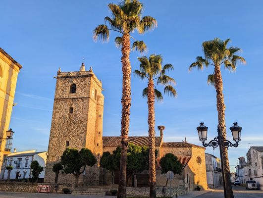
Day 84 · April 25
Vultures at eye level
Aldea del Cano → Cáceres · 23.8 km · ↗ 196 m
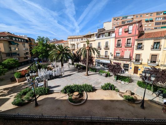
Day 86 · April 27
Taking stock after fifty stages
Cáceres → Casar de Cáceres · 11.6 km · ↗ 145 m
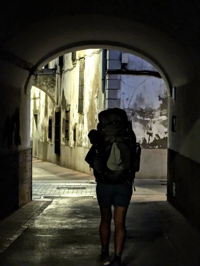
Day 87 · April 28
Eight litres of water and no shade
Casar de Cáceres → Cañaveral · 33.1 km · ↗ 376 m
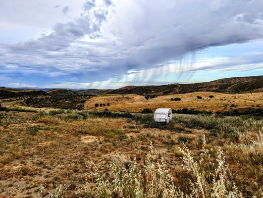
Day 88 · April 29
The day of the spoonwings and the shrike
Cañaveral → Ríolobos · 22.4 km · ↗ 336 m
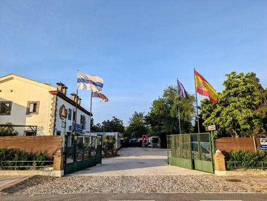
Day 91 · May 2
Dancing in the retirement home
Ríolobos → Carcaboso · 22.2 km · ↗ 219 m
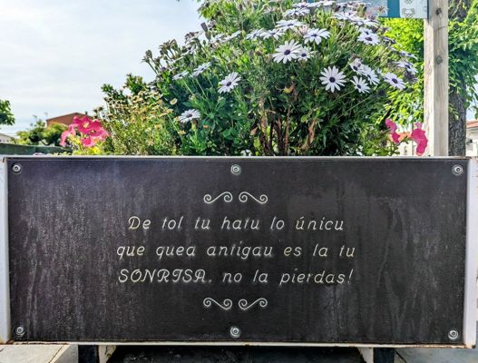
Day 92 · May 3
Birthday at the Roman arch
Carcaboso → Arco Tetrápilo · 19.4 km · ↗ 257 m
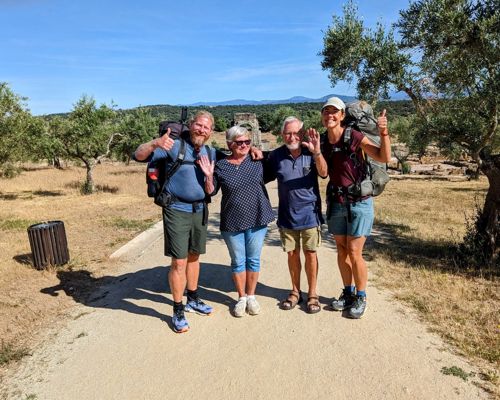
Day 96 · May 7
Saying goodbye to family
Arco Tetrápilo → Las Cañadas · 26.1 km · ↗ 367 m
Day 97 · May 8
A new region, a greener land
Las Cañadas → La Calzada de Béjar · 17.8 km · ↗ 442 m
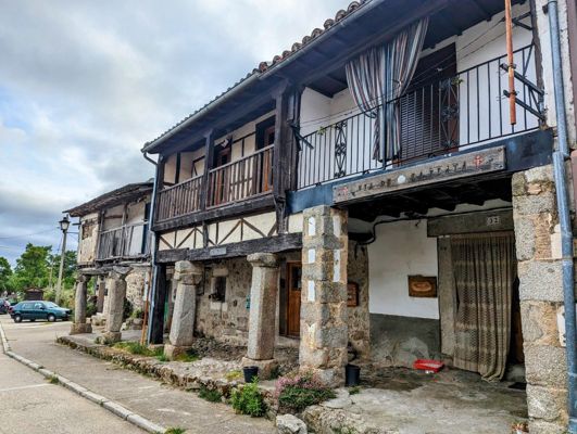
Day 98 · May 9
The endless meseta
La Calzada de Béjar → Fuenterroble de Salvatierra · 21.0 km · ↗ 333 m
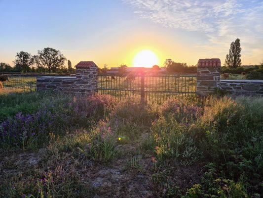
Day 99 · May 10
New shoes and a windmill summit
Fuenterroble de Salvatierra → Morille · 32.4 km · ↗ 415 m
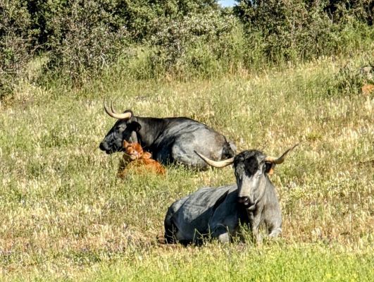
Day 100 · May 11
The golden city
Morille → Salamanca · 21.0 km · ↗ 263 m
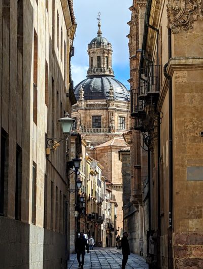
Day 102 · May 13
Farewell to Salamanca
Salamanca → Camping Ruta de la Plata · 4.9 km · ↗ 91 m
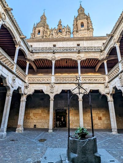
Day 103 · May 14
Farewell to Salamanca
Camping Ruta de la Plata → El Cubo de Tierra del Vino · 31.5 km · ↗ 228 m
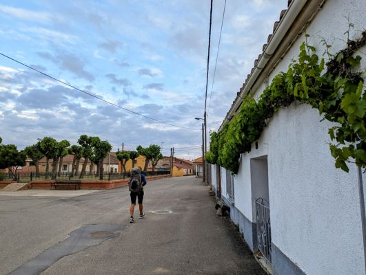
Day 104 · May 15
The end of the Via de la Plata
El Cubo de Tierra del Vino → Zamora · 33.3 km · ↗ 160 m
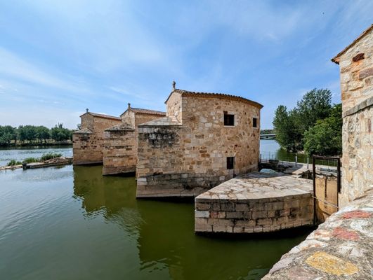
Day 111 · May 22
Back on the trail after the flu
Zamora → Toro · 34.6 km · ↗ 240 m
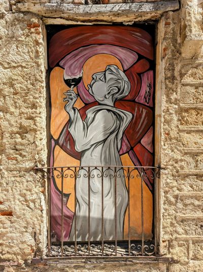
Day 113 · May 24
The wine church of Toro
Toro → Castronuño · 22.3 km · ↗ 171 m
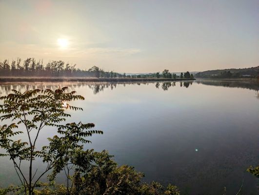
Day 114 · May 25
The meander of the Douro
Castronuño → Tordesillas · 32.6 km · ↗ 156 m
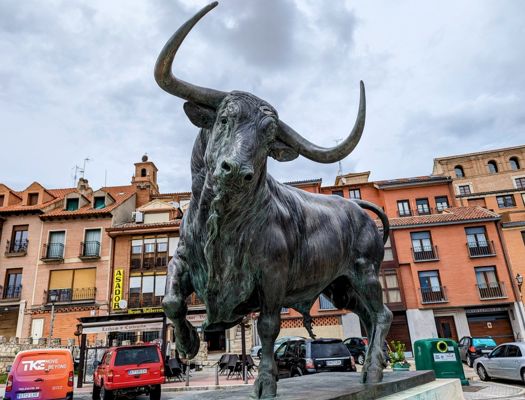
Day 116 · May 27
Where the world was divided
Tordesillas → Simancas · 26.5 km · ↗ 156 m
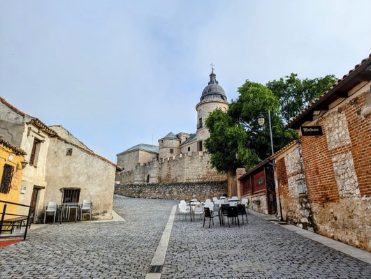
Day 117 · May 28
Through Spain's Veluwe pine forests
Simancas → Valladolid · 16.3 km · ↗ 174 m
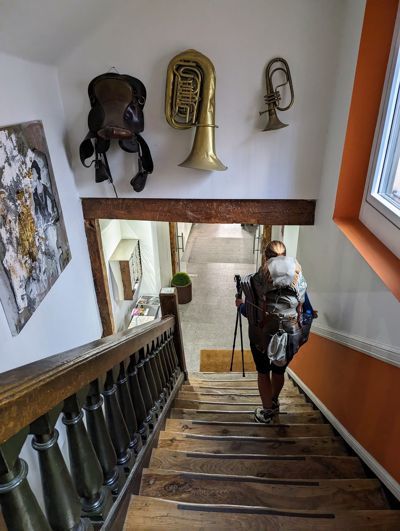
Day 119 · May 30
The route of Charles V
Valladolid → Granja Muedra · 24.2 km · ↗ 89 m
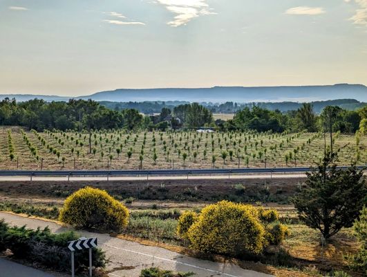
Day 121 · June 1
The land of the rabbits
Granja Muedra → Magaz de Pisuerga · 28.5 km · ↗ 175 m
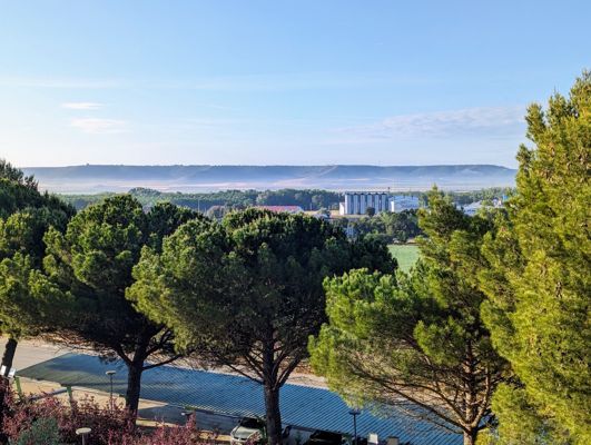
Day 122 · June 2
Dodging the thunderstorm
Magaz de Pisuerga → Quintana del Puente · 28.0 km · ↗ 111 m
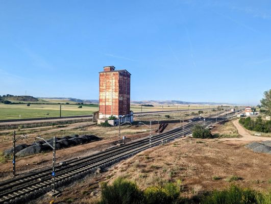
Day 123 · June 3
A kindred spirit on the trail
Quintana del Puente → Villodrigo · 18.2 km · ↗ 166 m
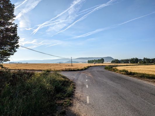
Day 124 · June 4
Five vultures in the morning mist
Villodrigo → Estépar · 26.1 km · ↗ 86 m
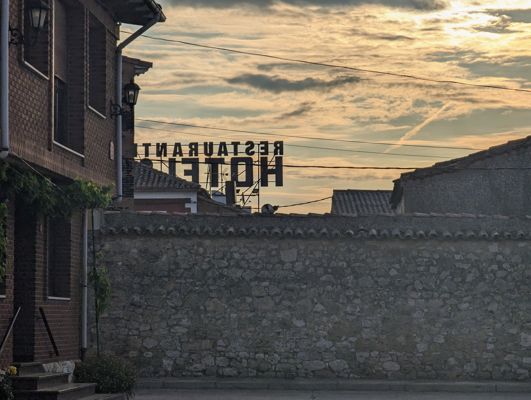
Day 125 · June 5
The Gothic cathedral of Burgos
Estépar → Burgos · 20.9 km · ↗ 228 m
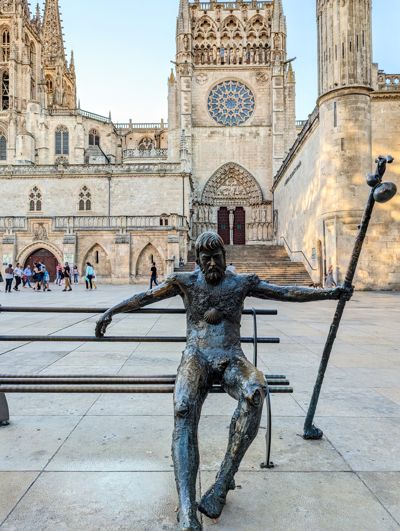
Day 127 · June 7
The Basque Camino
Burgos → Monasterio de Rodilla · 30.1 km · ↗ 267 m
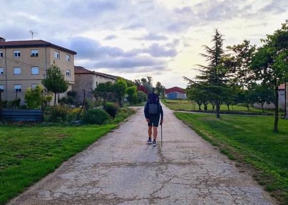
Day 129 · June 9
The bread van on the village square
Monasterio de Rodilla → Briviesca · 17.7 km · ↗ 254 m
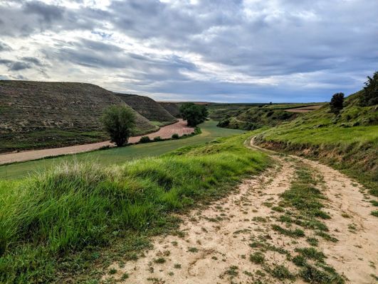
Day 130 · June 10
Fox cubs and a barking deer
Briviesca → Pancorbo · 28.9 km · ↗ 327 m
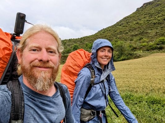
Day 131 · June 11
Crossing the Ebro in the rain
Pancorbo → Miranda de Ebro · 16.4 km · ↗ 177 m
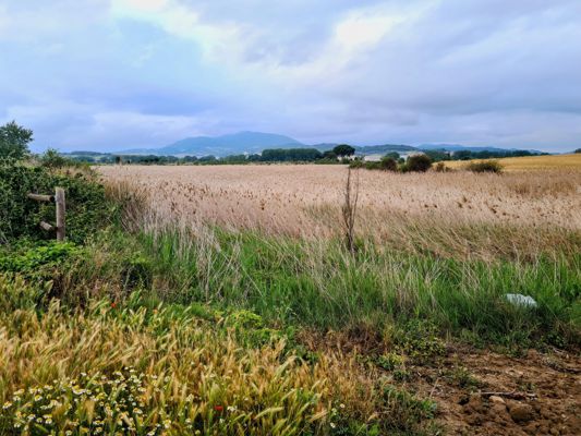
Day 134 · June 14
A 6,500-year-old dolmen
Miranda de Ebro → La Puebla de Arganzón · 17.8 km · ↗ 172 m
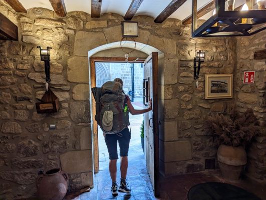
Day 135 · June 15
The border of the Basque Country
La Puebla de Arganzón → Gometxa · 14.6 km · ↗ 411 m
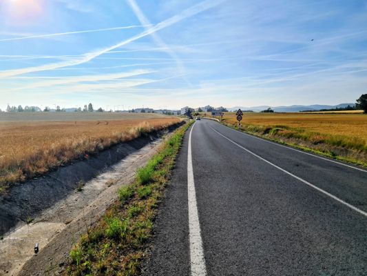
Day 136 · June 16
Kaixo! Welcome to Euskadi
Gometxa → Dulantzi / Alegría · 21.0 km · ↗ 219 m
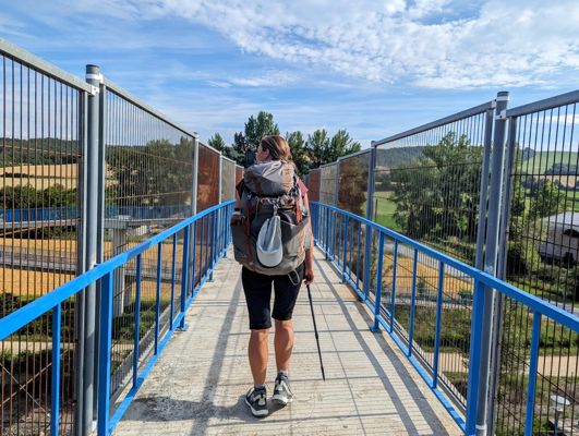
Day 137 · June 17
A three-toed skink and a nutmeg orchid
Dulantzi / Alegría → Albeiz / Albéniz · 22.4 km · ↗ 196 m
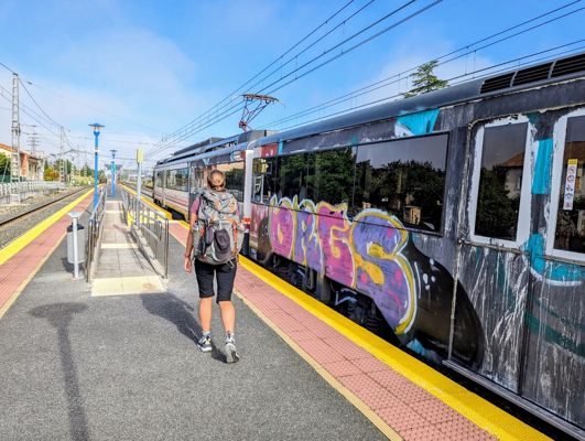
Day 144 · June 24
The first cherries and the last plain
Albeiz / Albéniz → Etxarri-Aranatz · 26.0 km · ↗ 254 m
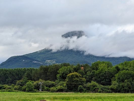
Day 146 · June 26
The gorilla mountain and the Etxera banners
Etxarri-Aranatz → Irurtzun · 26.2 km · ↗ 266 m
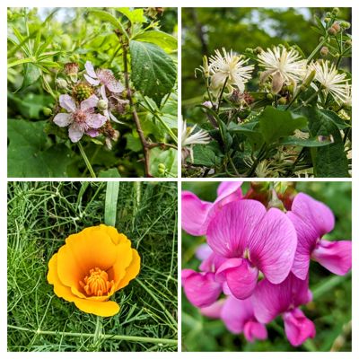
Day 147 · June 27
Looking back on a thousand kilometres of Spain
Irurtzun → Pamplona / Iruña · 26.2 km · ↗ 567 m
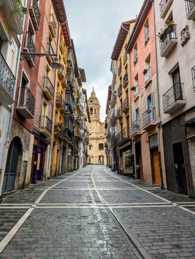
Day 152 · July 2
Into the mountains
Pamplona / Iruña → Zubiri · 24.3 km · ↗ 385 m
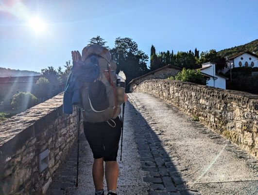
Day 153 · July 3
Lard cakes and gospel by the river
Zubiri → Aurizberri · 17.5 km · ↗ 688 m
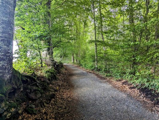
Day 154 · July 4
Roncesvalles and the quiet side of the Pyrenees
Aurizberri → Estérençuby · 24.2 km · ↗ 755 m
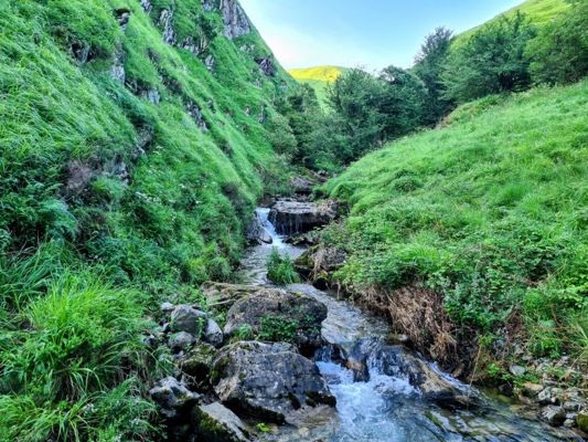
Day 155 · July 5
Lost in the ferns
Estérençuby → Chalets d'Iraty · 19.7 km · ↗ 1287 m
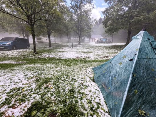
Day 158 · July 8
Hail, vultures and a curious cow
Chalets d'Iraty → Ardané · 22.3 km · ↗ 1304 m
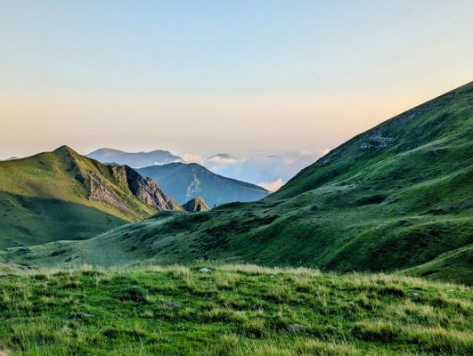
Day 159 · July 9
Alone on the mountain, alone in the world
Ardané → Pic d'Anie · 19.6 km · ↗ 968 m
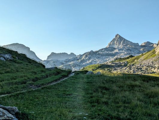
Day 160 · July 10
Scrambling through the boulder field
Pic d'Anie → Lescun · 17.0 km · ↗ 729 m
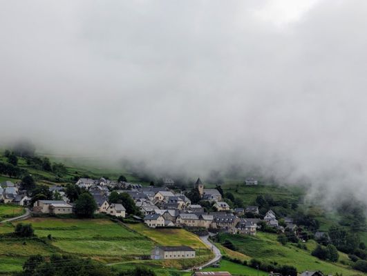
Day 163 · July 13
Above the clouds
Lescun → Col de lapachouaou · 21.7 km · ↗ 1607 m
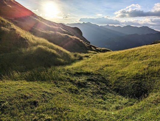
Day 164 · July 14
The most relaxed guard dog ever
Col de lapachouaou → Candanchú · 17.5 km · ↗ 879 m
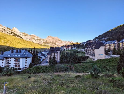
Day 165 · July 15
The mirror lakes of Anayet
Candanchú → Formigal · 22.7 km · ↗ 1069 m
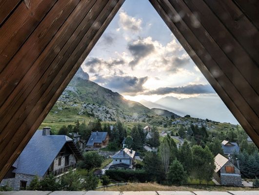
Day 167 · July 17
From luxury hotel to mountain tent
Formigal → Majada de Llena Cantal · 18.2 km · ↗ 1202 m
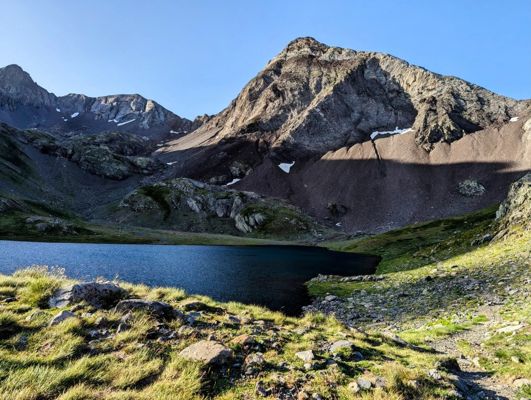
Day 168 · July 18
Snowfields and steel cables
Majada de Llena Cantal → Baños de Panticosa · 13.3 km · ↗ 734 m
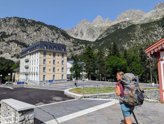
Day 169 · July 19
Coming home to a special place
Baños de Panticosa → Bujaruelo · 21.7 km · ↗ 1115 m
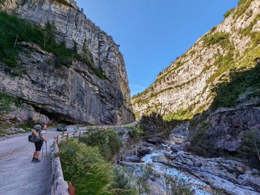
Day 175 · July 25
Edelweiss in Ordesa
Bujaruelo → Col de Arrablo · 29.7 km · ↗ 1883 m
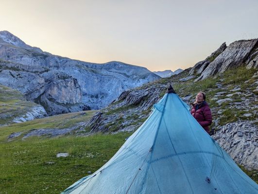
Day 176 · July 26
Spaghetti legs beneath Monte Perdido
Col de Arrablo → Espierba · 14.7 km · ↗ 875 m
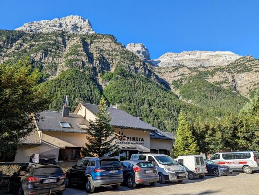
Day 177 · July 27
The hidden glacial valley
Espierba → Parzán · 22.0 km · ↗ 1020 m
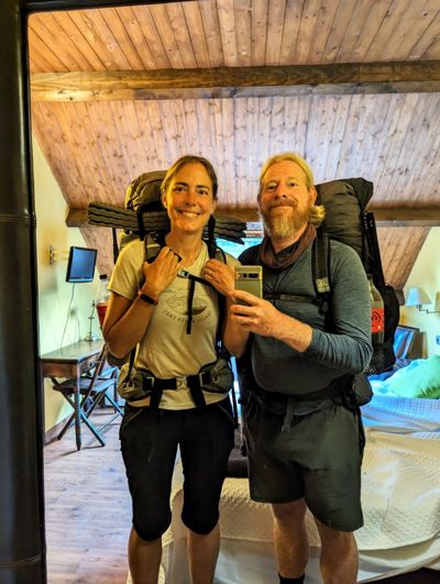
Day 179 · July 29
A hundred stages: from ocean to mountain top
Parzán → Gistain · 20.9 km · ↗ 1458 m
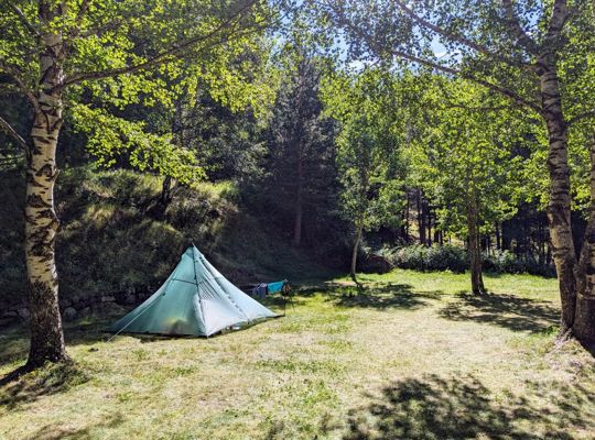
Day 183 · August 2
The smugglers' pass and the abandoned mine
Gistain → Lac du Milieu · 20.3 km · ↗ 2070 m
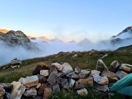
Day 184 · August 3
The longest day: fourteen hours into the dark
Lac du Milieu → Benasque · 18.9 km · ↗ 1189 m
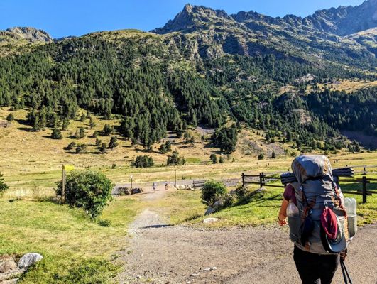
Day 187 · August 6
Above three thousand for the first time
Benasque → Tuc Mulleres · 15.4 km · ↗ 1321 m
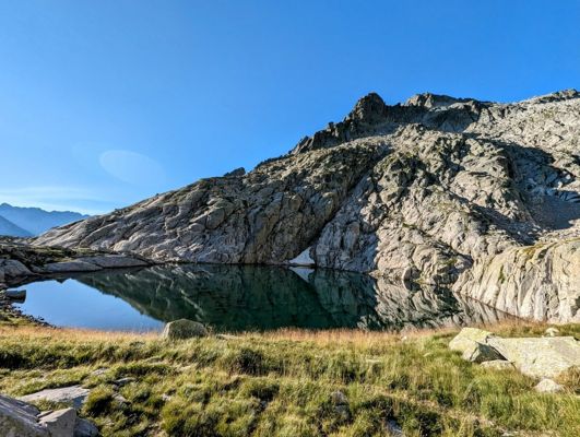
Day 188 · August 7
Starry skies above the Pyrenees
Tuc Mulleres → Refuge Conangles · 7.1 km · ↗ 47 m
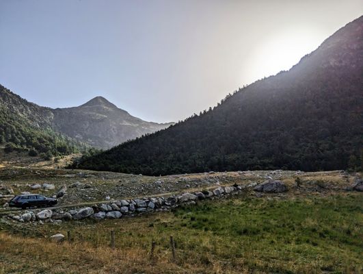
Day 191 · August 10
The story of the tunnel and the refugees
Refuge Conangles → Lac de Mar · 12.9 km · ↗ 1120 m
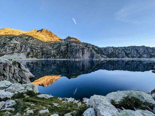
Day 192 · August 11
'Those people who started in Portugal'
Lac de Mar → Lac Obago · 13.2 km · ↗ 899 m
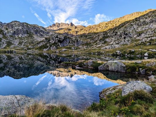
Day 193 · August 12
Stage two hundred
Lac Obago → Espot · 17.0 km · ↗ 463 m
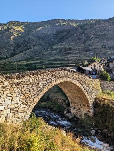
Day 196 · August 15
From granite to slate
Espot → la Guingueta d’Aneu · 12.2 km · ↗ 277 m
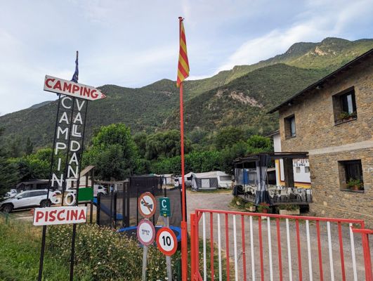
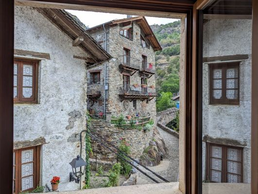
Day 197 · August 16
The ghost village with the geraniums
la Guingueta d’Aneu → Estahón · 12.5 km · ↗ 1315 m
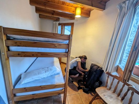
Day 198 · August 17
Civil War bunkers on the ridge
Estahón → Tavascan · 13.9 km · ↗ 754 m
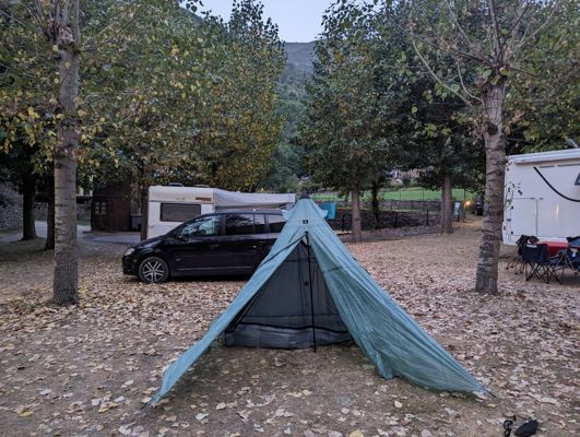
Day 199 · August 18
Bears in the forest
Tavascan → Àreu · 15.7 km · ↗ 1339 m
Day 202 · August 21
Six months of Spain, one final climb
Àreu → Arinsal (Andorra) · 27.6 km · ↗ 2062 m
Take a hike. Make some stories.
This story was made with Hike5
On the way you capture what you see, in the evening Hike5 writes the story of your day: the text, your photos, the map and the figures. Soon you can do this with your own walking days. Leave your e-mail and you hear it first, one mail a month at most.