 Hike5
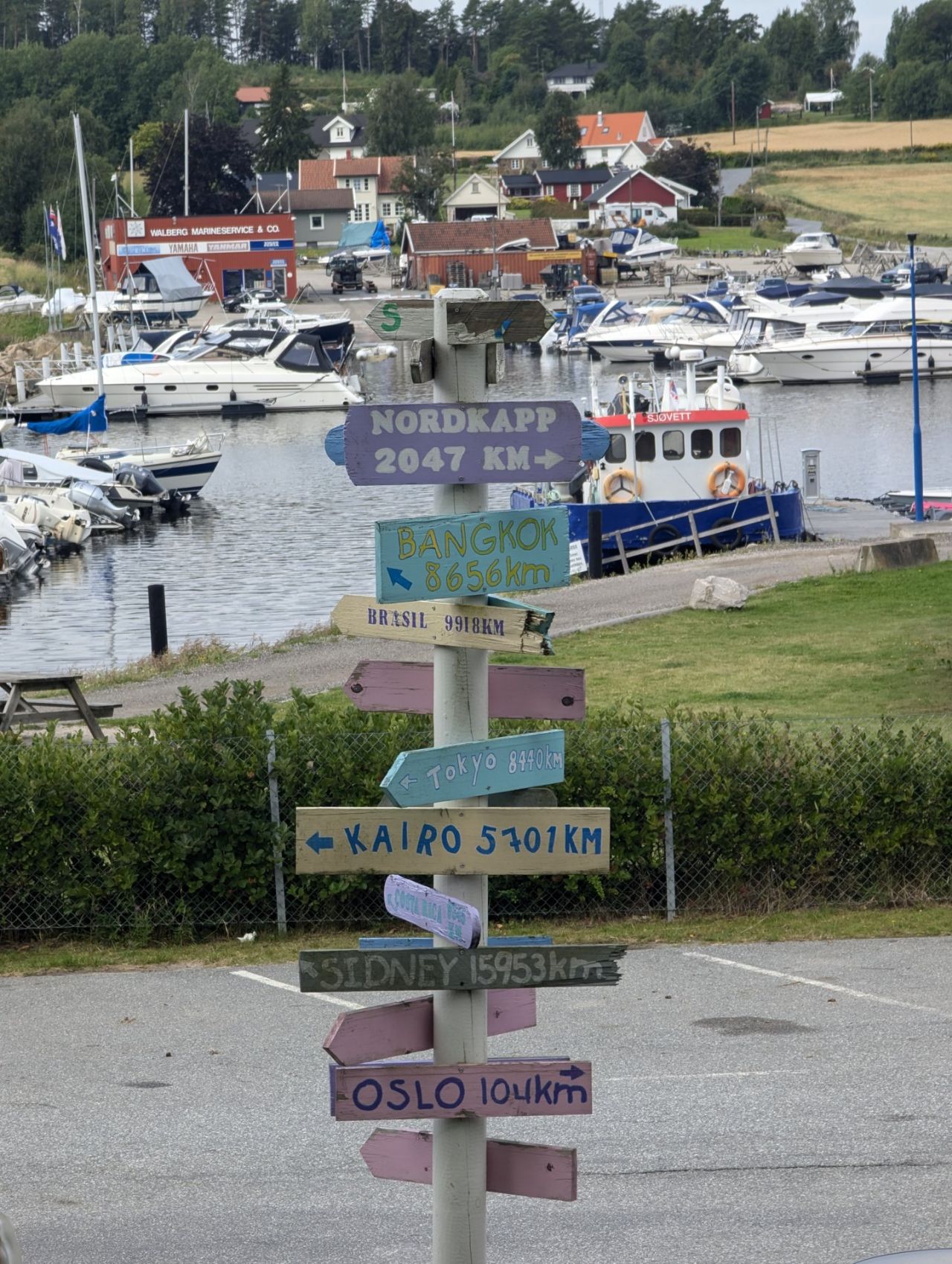
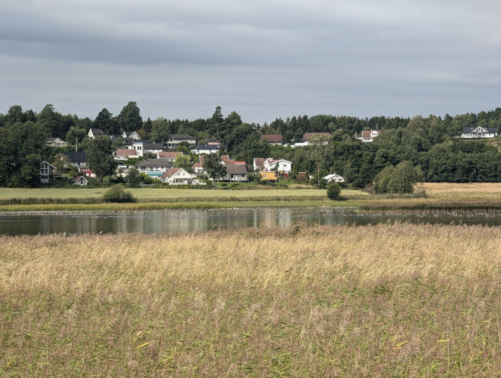
Today is going to be a ‘civilised’ hike; lots of it through built-up areas, along roads and past businesses. Right in the thick of civilisation, then. We hike off the campsite in unexpectedly good weather. It was supposed to rain a lot today and be grey, but it's pretty sunny and the tent was dry again. Just as well, because we won't need it any more on this trek; for lack of campsites and places where we can wild camp, we'll do the rest in hotels and apartments. The area up to Oslo really does get a lot more populated again. A pity, because we really liked all that vast nature. But the way we start the hike this morning isn't bad at all either. We follow a little road along the last arm of a fjord, with a view of little boats and geese, and we pass the lovely Scandinavian wooden houses. On the hills of Guslundåsen there are deep gullies in the forest floor, old sunken lanes worn away by centuries of feet and hooves, often near graves from the Bronze and Iron Ages. Between the houses there are also prehistoric burial mounds of piled-up stones, where important people were once laid to rest with precious grave goods such as bronze swords and knives, overlooking the plain of Skjeberg.
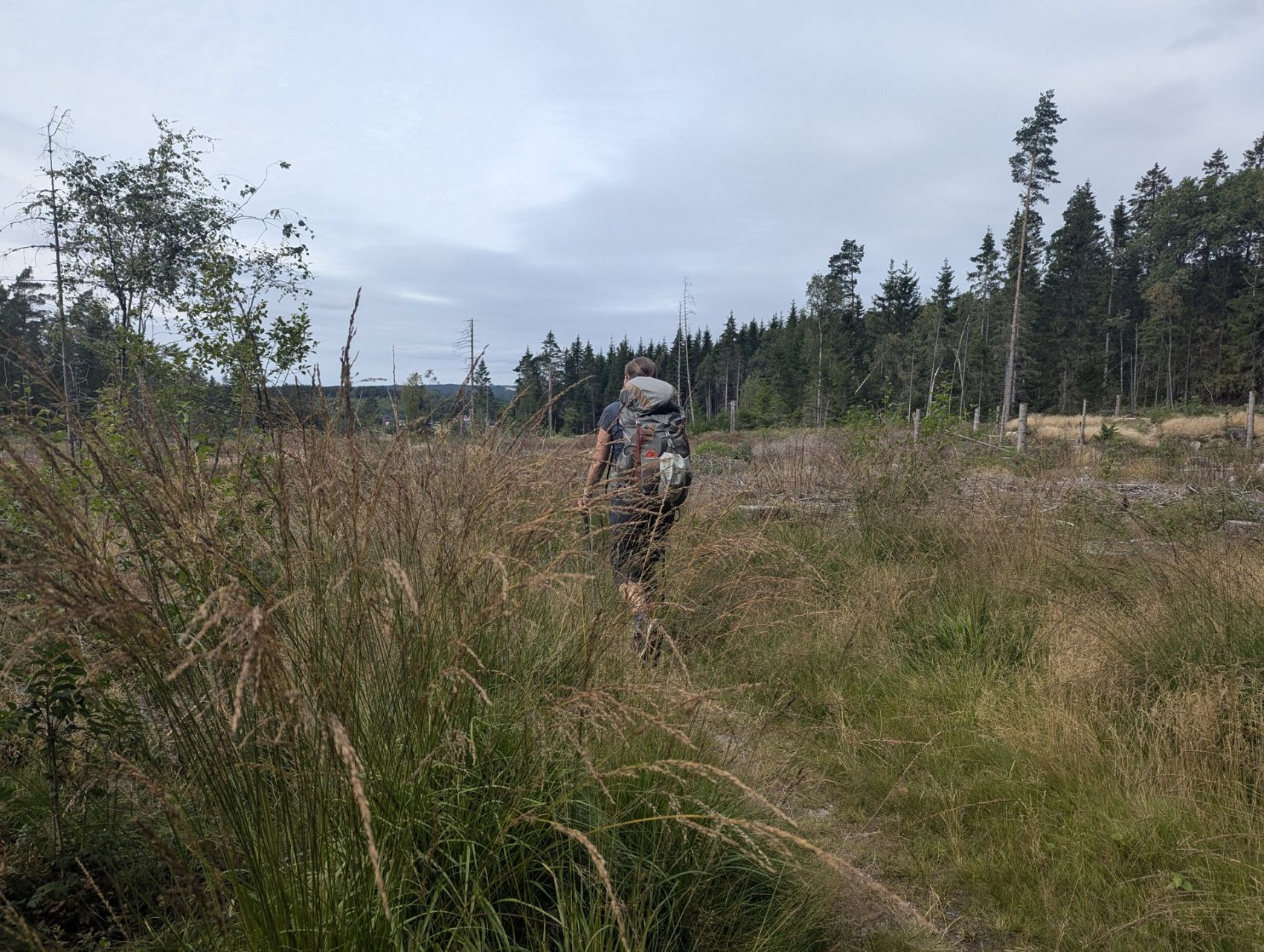
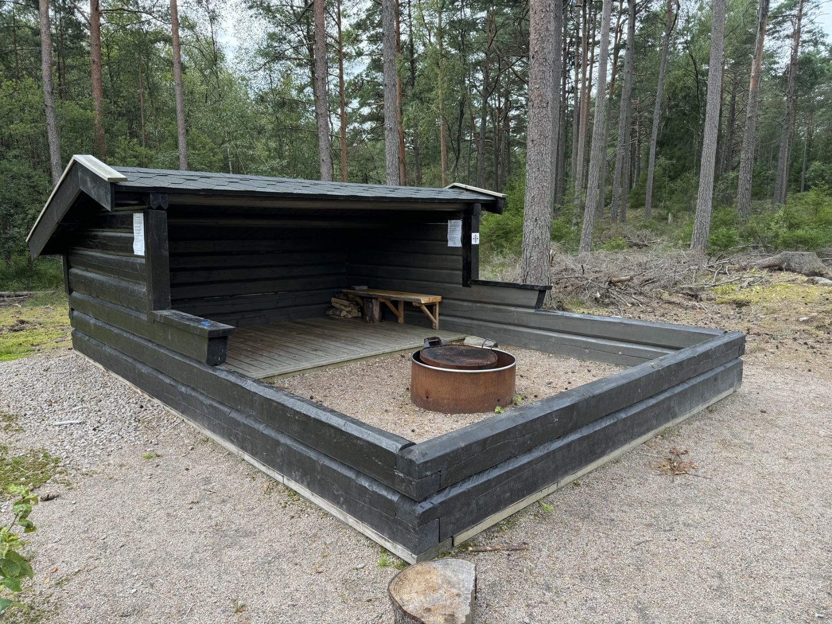
Once past the water we climb a little again through a pretty suburb and head into the woods. 50 metres past the last house we're straight back in nature. Pines, birches, ferns and lots of mushrooms in all colours and sizes. We hike through Stasjonsmarka, where the vicarage's farm labourers once lived in tiny smallholdings that have since disappeared, such as Nylende, where Helena stayed on as the last inhabitant until 1930. We pass a lovely new shelter with a fire pit where, even this close to civilisation, you're simply allowed to spend the night. They take good care of hikers here! We descend again into the valley left behind 10,000 years ago by a retreating glacier. Now the valley is used for farming and the main roads run through it. On the other side we climb a moraine: a big ridge also left behind by the same glacier, with a church built on top. Skjeberg church, one of the oldest stone churches in Norway. Anyway, in 1996 it was decided that the church was 900 years old, so we'll just have to believe that.
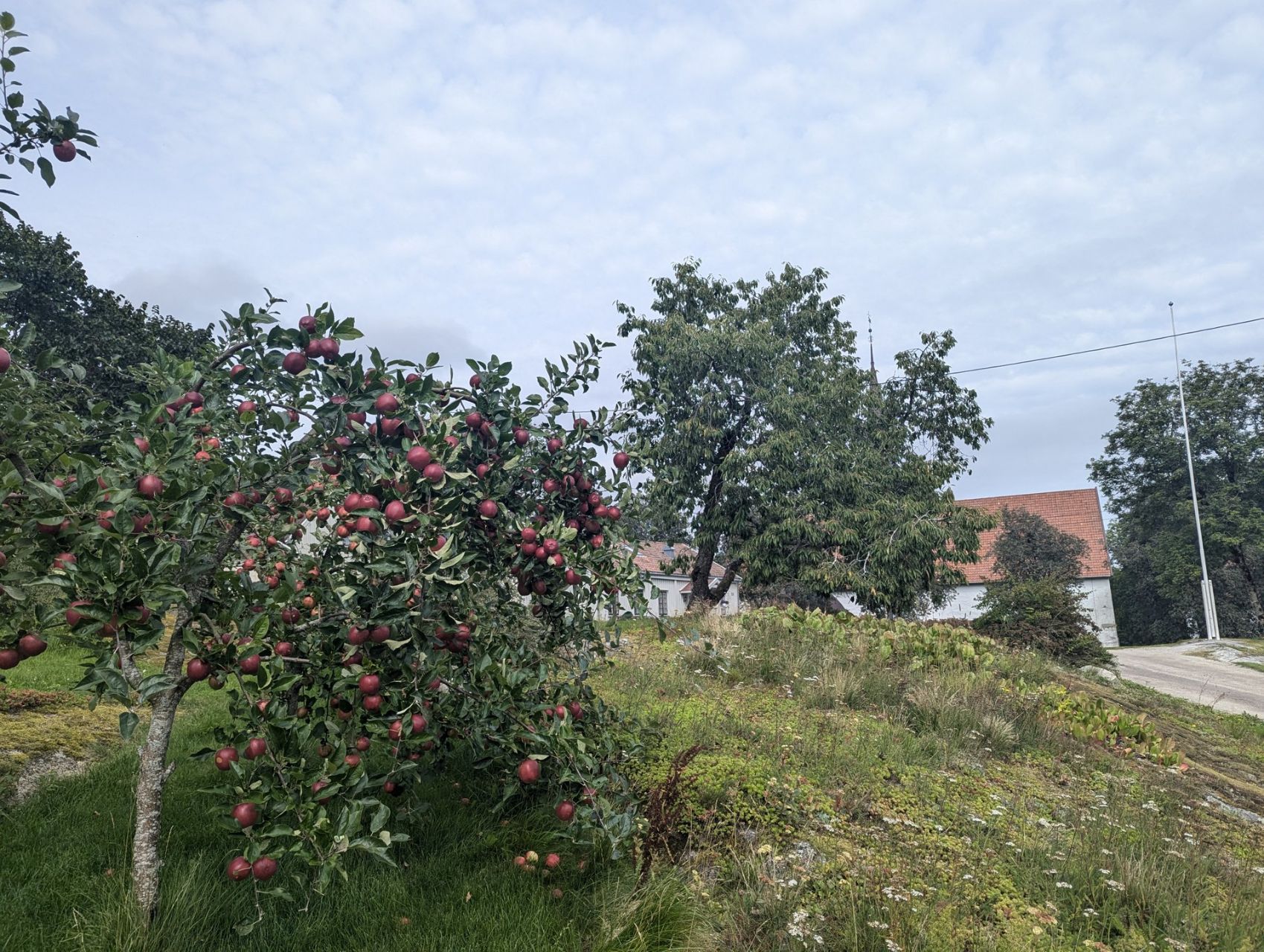
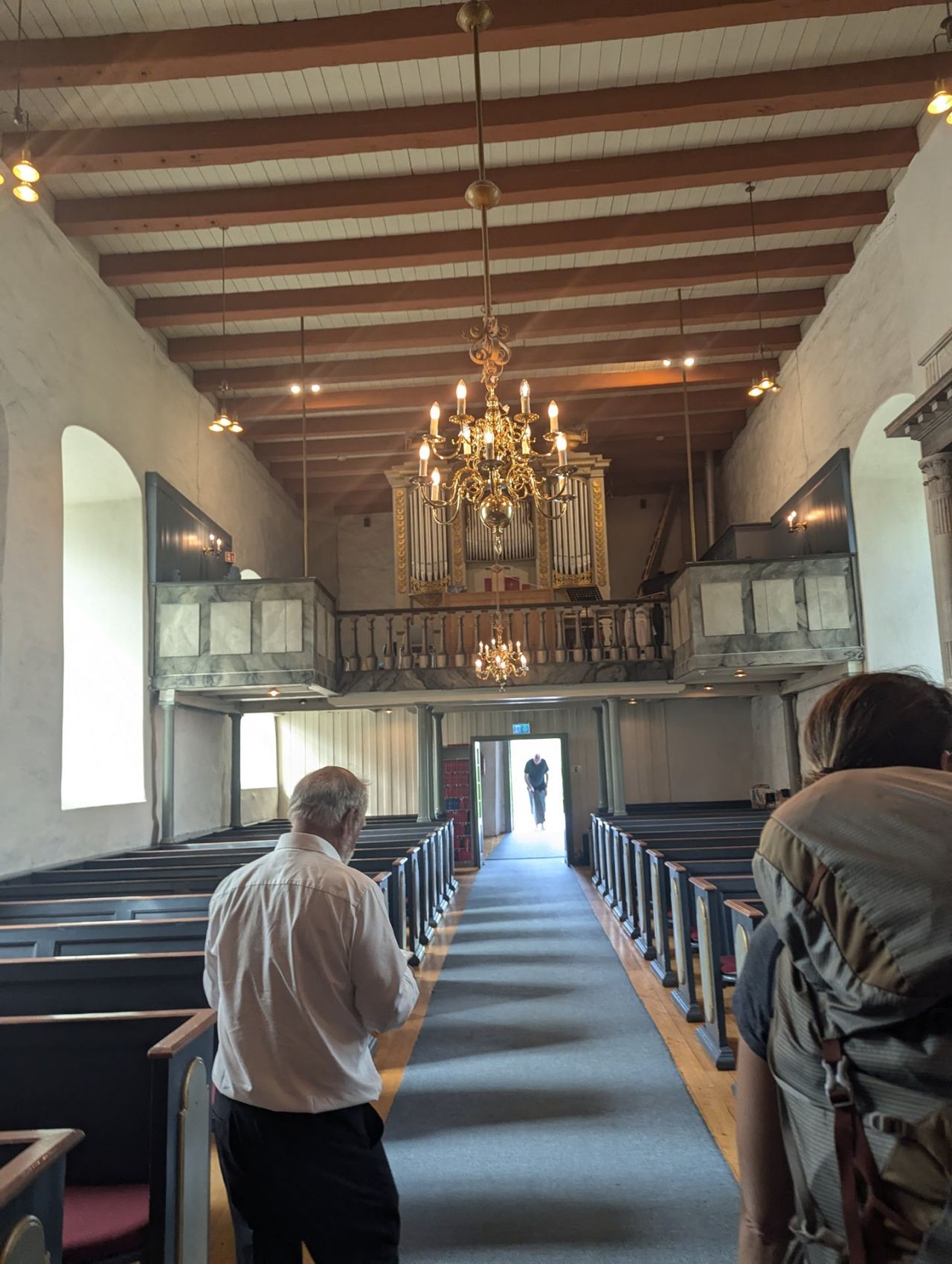
As we walk past the beautiful church, with its tower in the middle of the building, typical of Norway, someone who works at the church comes outside. He'd seen us hiking, assumed we were pilgrims and wanted to give us a stamp. Feeling a little awkward that we're doing the trek for a different purpose, we get chatting about the church and the area. He doesn't mind at all, he likes it that we're the first 'pilgrims' he's met, and he's happy to show us the church. It's a beautiful, fairly plain church that was built as a Catholic church but, like the rest of Scandinavia, is Protestant by now. Inside stands the soapstone baptismal font from the late twelfth century, the only thing left of the original Romanesque furnishings: richly decorated, with Christ enthroned amid a procession of Mary, John the Baptist and the Evangelists.
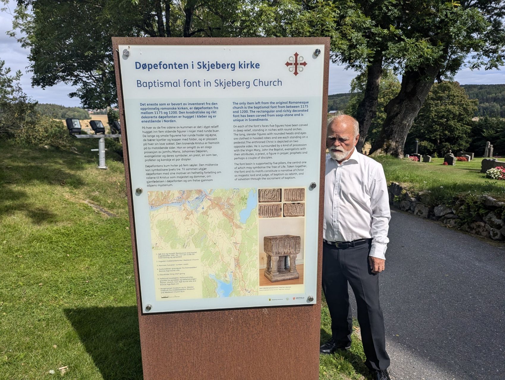
Our guide talks passionately about the traditions, such as the snapped little fir tree that stands outside the door here at a funeral, and the legend of King Olaf, whose beard turned out to be fireproof. Interestingly, the consequences of the plague that we already saw yesterday in the abandoned farms and farmland turn up again here today. Because the plague emptied the region of so many people, large tracts of land, and churches too, changed hands. This church too was sold by the Church in that period, which coincided with the Reformation in Norway in the 16th century, to the Hafslund family. This is one of the most powerful families in Norway, which since the Middle Ages has built or bought large farms and estates in the region, later factories and even schools, and so churches too. They certainly didn't come out of the aftermath of the plague any poorer. After the tour we carry on along roads, fields and forests, and a little later we pass the family's gigantic stables and main farmhouse. Along the way we eat Norwegian cinnamon buns, spiced with cardamom and a lot less sweet.
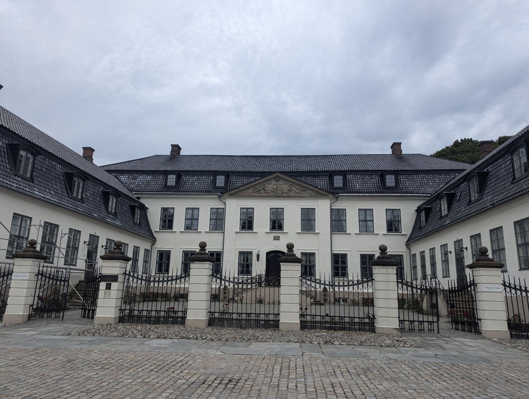
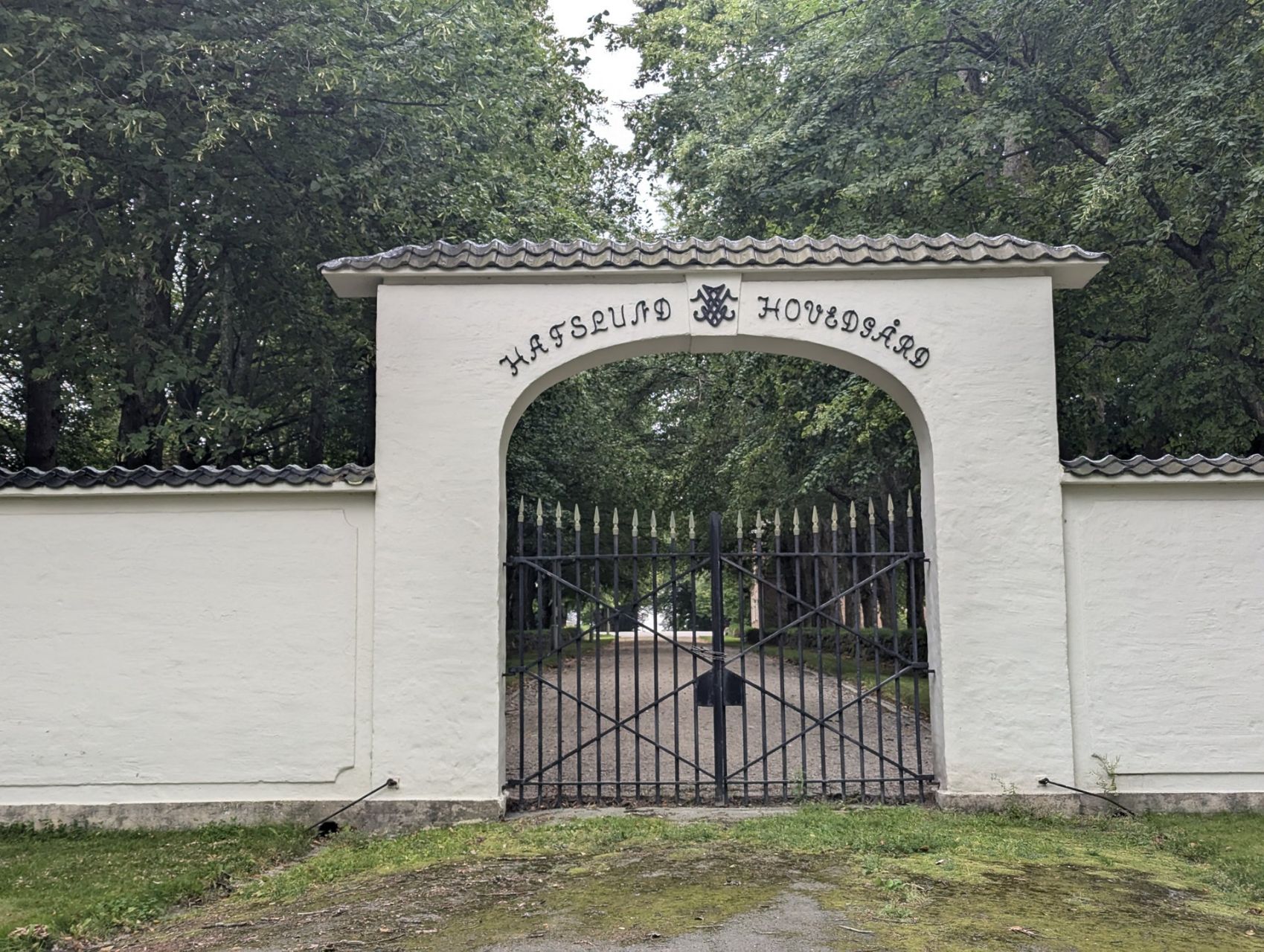
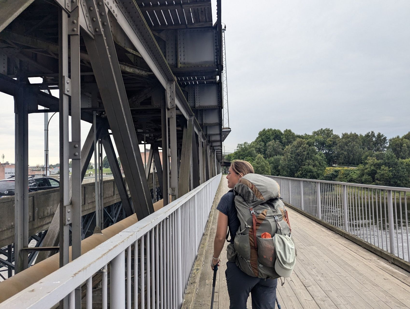
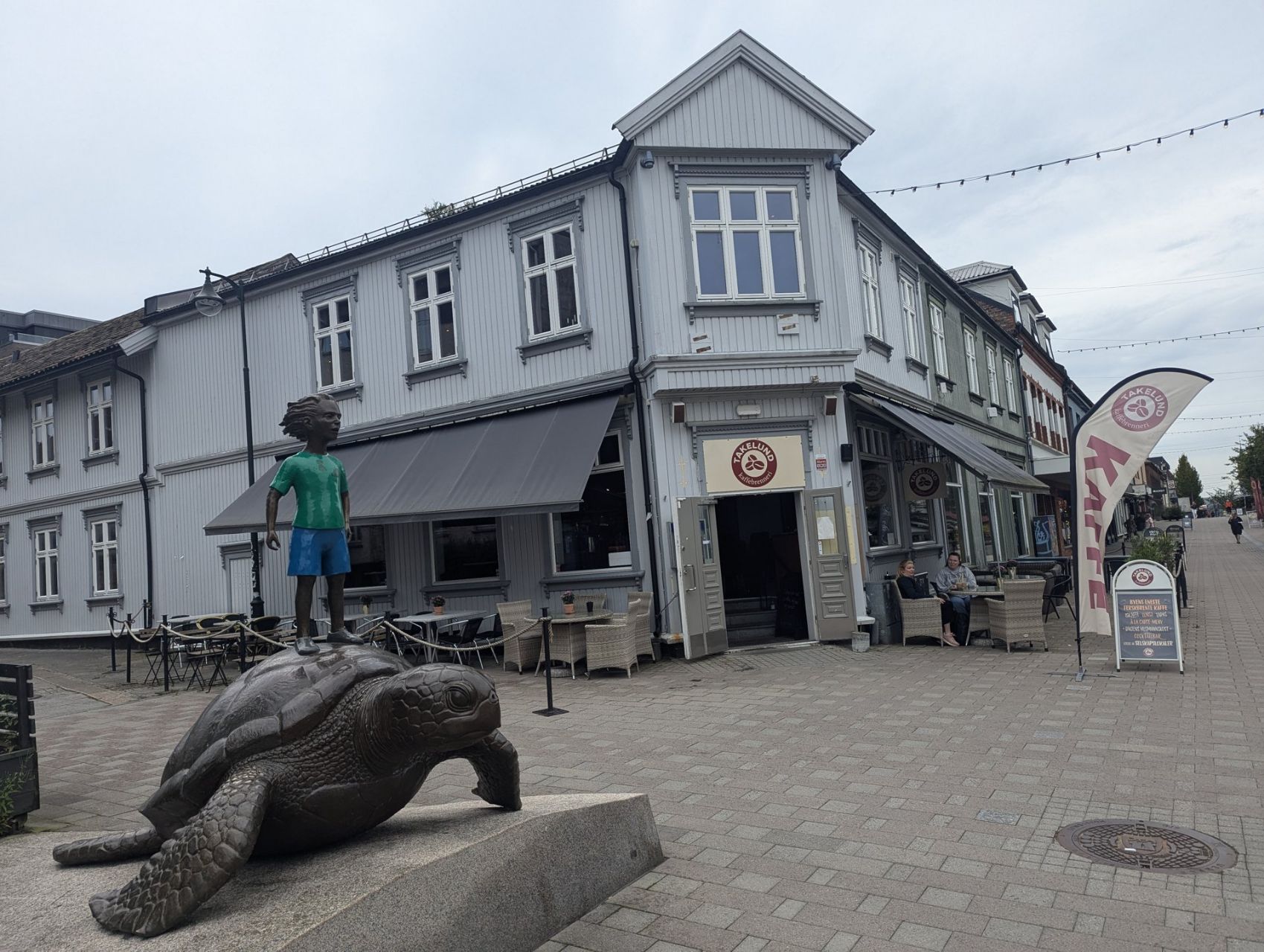
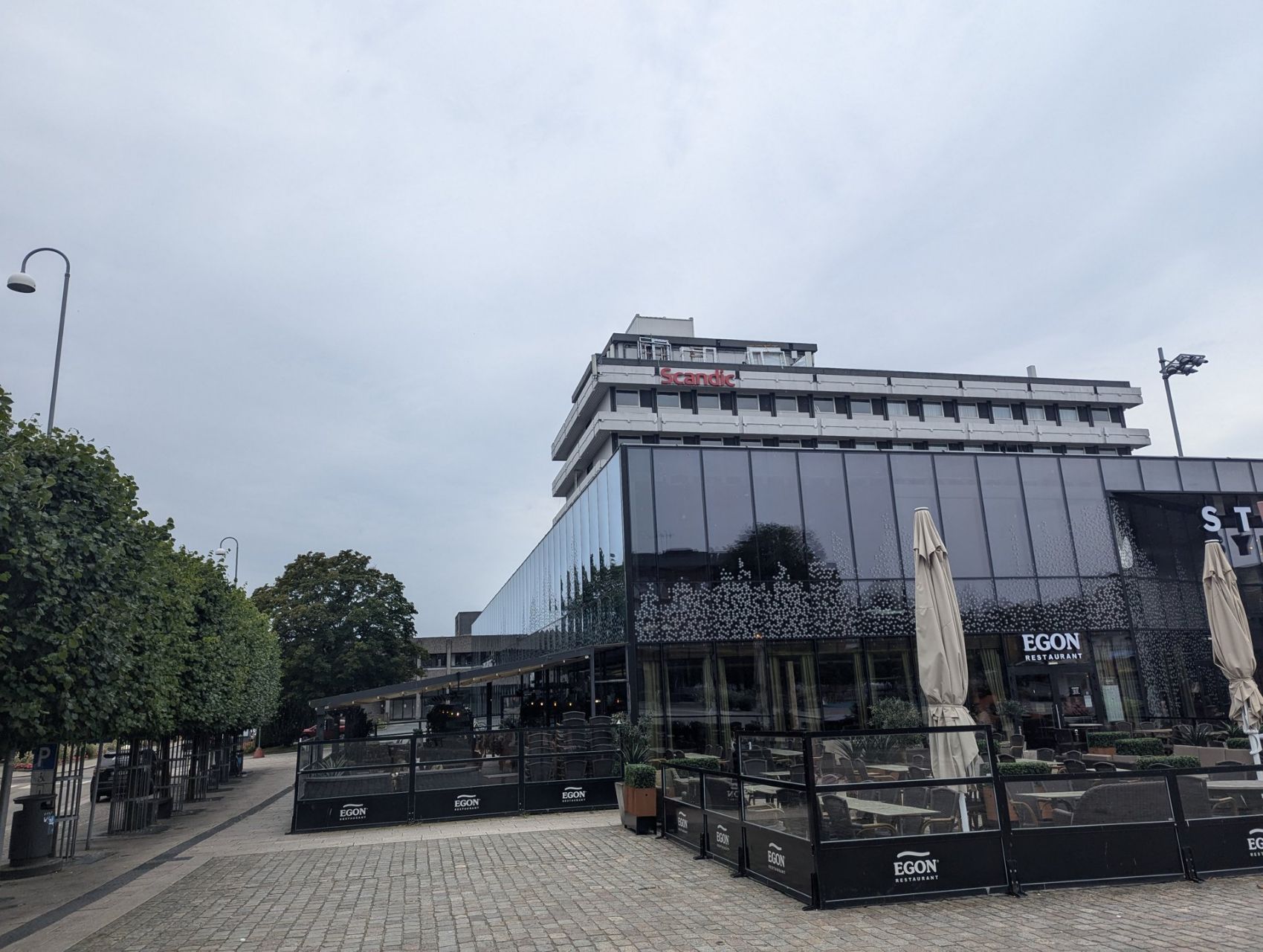
We come across the name 'Hafslund' several more times today, in street names and on a power station in the big river we cross. We hike over the Sandesund Bridge and cross the Glomma. Over the bridge we also walk into the town. Its industrial character is obvious straight away. Tall towers and long pipelines adorn the horizon. We hike along the route of the old Hafslundbanen, an electric railway that carried goods between the Hafslund carbide factory and the harbour from 1899 to 1967. The town centre we walk through also looks like an industrial town whose heyday was some time ago. Lovely façades when you look up, but at eye level it's all dull shop buildings. We almost feel at home…. ;-) (our home town Heerlen looks a bit the same) In our backpacks we still have yesterday's chanterelles: before we eat them, we first want someone to check whether they really are chanterelles. Our hotel is on a nice square and there are a few lovely parks we're going to visit tomorrow. We're curious what the town will look like after a day of exploring. It was another special stage today!