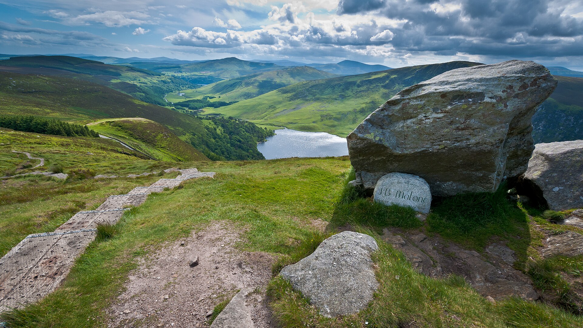
Photo: Joe King · Wikimedia Commons · CC BY-SA 3.0

Wicklow Way
IEThe Wicklow Way is a 131-kilometre (81-mile) long-distance trail that crosses the Wicklow Mountains in Ireland. It runs from Marlay Park in the southern suburbs of Dublin through County Wicklow and ends in the village of Clonegal in County Carlow. It is designated as a National Waymarked Trail by the Irish Sports Council and is waymarked by posts with a yellow "walking man" symbol and a directional arrow. Typically completed in 5–7 days, it is one of the busiest of Ireland's National Waymarked Trails, with up to 24,000 people a year walking the most popular sections. The Way is also used regularly by a number of mountain running competitions.
Stages
| 1 | Ballyboden → Oak Glen | 16 km | ↗ 611 m |
| 2 | Oak Glen → The Barr | 15 km | ↗ 635 m |
| 3 | The Barr → Laragh | 15.8 km | ↗ 314 m |
| 4 | Laragh → Glenmalure | 16.7 km | ↗ 547 m |
| 5 | Glenmalure → Askanagap | 14.5 km | ↗ 604 m |
| 6 | Askanagap → Tinahely | 16.4 km | ↗ 422 m |
| 7 | Tinahely → Shillelagh | 16.6 km | ↗ 359 m |
| 8 | Shillelagh → County Carlow | 17.2 km | ↗ 264 m |