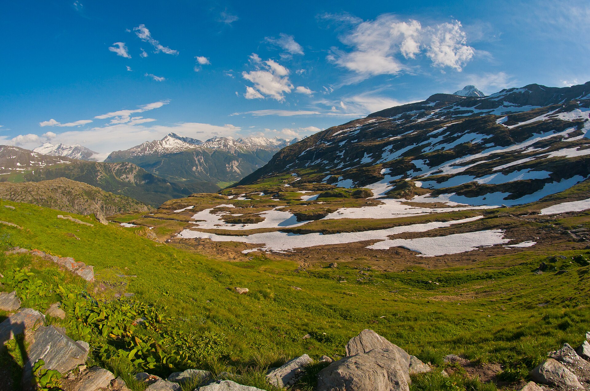

Tour de la Vanoise (GR 55)
FRThe GR 55 is the classic crossing of the Vanoise National Park in the French Alps: from Tignes in the north to Modane in the south, 54 to 57 kilometers with about 2500 meters of climbing, usually completed in four days. The route lies mostly above 2000 meters and goes over the Col de la Leisse (2761 m), the Col de la Vanoise (2517 m) and the Col de Chavière (2796 m), the highest point, along the glaciers of the Vanoise. You sleep in mountain huts such as the Refuge de la Leisse, the Refuge du Col de la Vanoise and the Refuge de Péclet-Polset, or in the valley in Pralognan-la-Vanoise. In the north, the GR 55 follows a section of the Via Alpina; between the Col de la Vanoise and Modane, it shares the trail with the GR 5 and the Tour des Glaciers de la Vanoise. The season runs from late June to late August, when the passes are snow-free and the huts are staffed.
Stages
| 1 | Tignes → Refuge de la Leisse | 11.6 km | ↗ 714 m |
| 2 | Refuge de la Leisse → Refuge des Barmettes | 14.5 km | ↗ 459 m |
| 3 | Refuge des Barmettes → Refuge de Péclet-Polset | 16.5 km | ↗ 1,066 m |
| 4 | Refuge de Péclet-Polset → Modane | 13.3 km | ↗ 387 m |