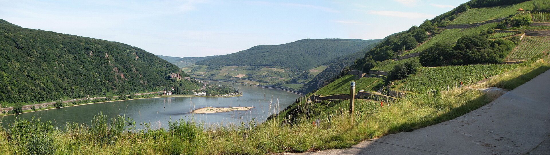
Photo: Traveler100 · Wikimedia Commons · CC BY-SA 3.0

Rheinsteig
DEThe Rheinsteig is a hiking trail following a mainly elevated path along the east bank of the Rhine River in Germany. Its 320 kilometres (200 mi) route stretches from Wiesbaden to Bonn, running parallel to the Rheinhöhenweg Trail and Rheinburgenweg Trail.
Stages
| 1 | Bonn → Königswinter | 22.2 km | ↗ 631 m |
| 2 | Königswinter → Bad Honnef | 14.1 km | ↗ 610 m |
| 3 | Bad Honnef → Linz] | 18.1 km | ↗ 574 m |
| 4 | Linz] → Bad Hönningen | 12.6 km | ↗ 473 m |
| 5 | Bad Hönningen → Leutesdorf | 17 km | ↗ 774 m |
| 6 | Leutesdorf → Rengsdorf | 18.8 km | ↗ 647 m |
| 7 | Rengsdorf → Sayn | 15 km | ↗ 316 m |
| 8 | Sayn → Vallendar | 12.8 km | ↗ 424 m |
| 9 | Vallendar → Koblenz-Ehrenbreitstein] | 9.1 km | ↗ 198 m |
| 10 | Koblenz-Ehrenbreitstein] → Niederlahnstein | 12.2 km | ↗ 474 m |
| 11 | Niederlahnstein → Braubach | 8.4 km | ↗ 375 m |
| 12 | Braubach → Kamp-Bornhofen | 16.4 km | ↗ 904 m |
| 13 | Kamp-Bornhofen → Kestert | 12.5 km | ↗ 461 m |
| 14 | Kestert → Sankt Goarshausen | 12 km | ↗ 448 m |
| 15 | Sankt Goarshausen → Kaub | 21.4 km | ↗ 923 m |
| 16 | Kaub → Lorch | 13.8 km | ↗ 704 m |
| 17 | Lorch → Rüdesheim | 20.4 km | ↗ 1,020 m |
| 18 | Rüdesheim → Johannisberg | 14.9 km | ↗ 311 m |
| 19 | Johannisberg → Kiedrich | 14.5 km | ↗ 395 m |
| 20 | Kiedrich → Schlangenbad | 10.3 km | ↗ 340 m |
| 21 | Schlangenbad → Wiesbaden-Biebrich] | 16.6 km | ↗ 180 m |