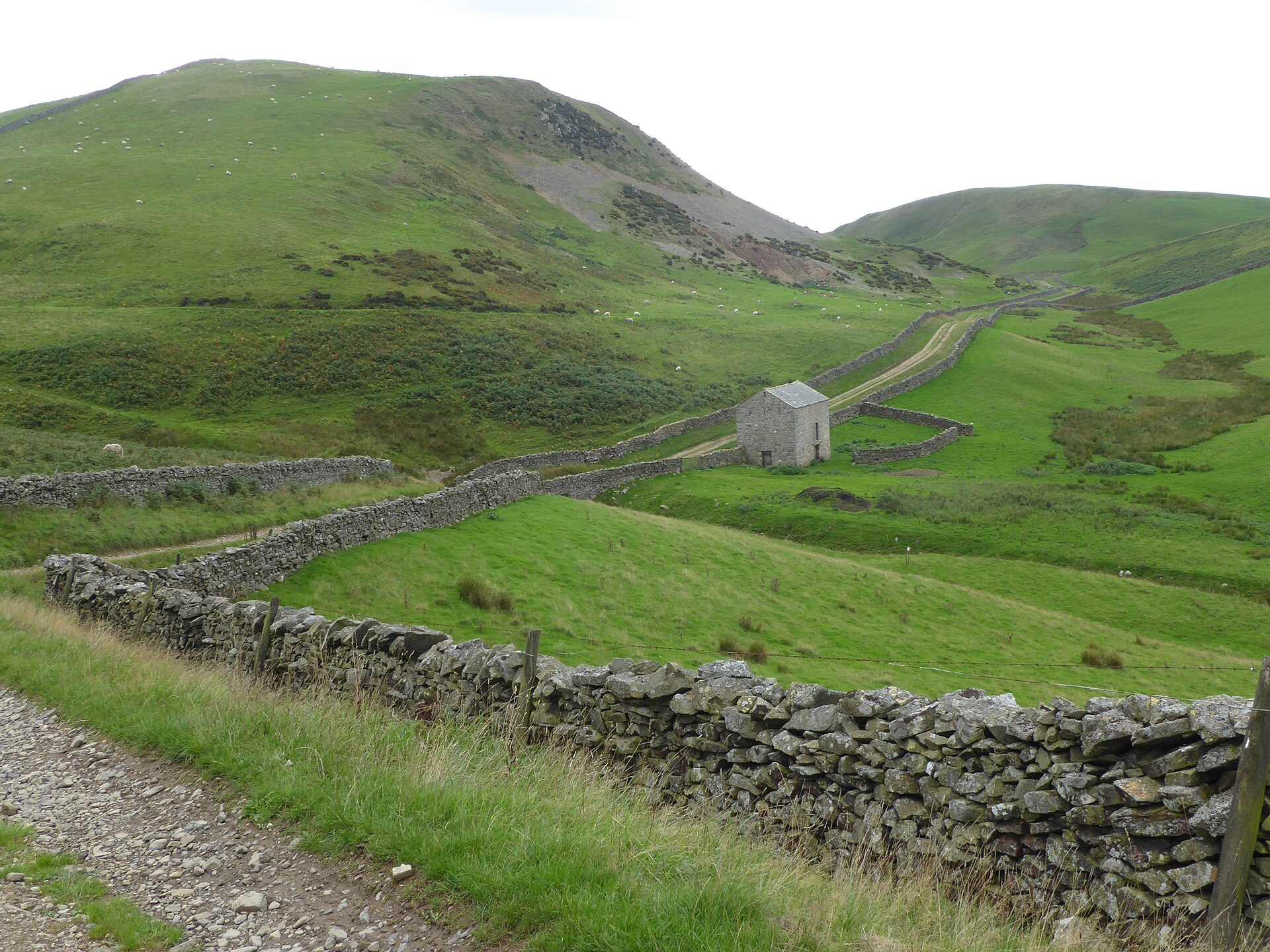
Photo: Marathon · Wikimedia Commons · CC BY-SA 2.0

Pennine Way
GBThe Pennine Way is a National Trail in England, with a small section in Scotland. The trail stretches for 268 miles (431 km) from Edale, in the northern Derbyshire Peak District, north through the Yorkshire Dales and Northumberland National Park and ends at Kirk Yetholm, just inside the Scottish border. The path runs along the Pennine hills, sometimes described as the "backbone of England". Although not the United Kingdom's longest National Trail, it is, according to the Ramblers, "one of Britain's best known and toughest".
Stages
| 1 | Edale → Crowden | 26.4 km | ↗ 705 m |
| 2 | Crowden → Standedge | 20.6 km | ↗ 692 m |
| 3 | Standedge → Warland Reservoir | 12.8 km | ↗ 173 m |
| 4 | Warland Reservoir → Calder Valley | 8.6 km | ↗ 81 m |
| 5 | Calder Valley → Ickornshaw | 25.7 km | ↗ 779 m |
| 6 | Ickornshaw → Malham | 28.1 km | ↗ 581 m |
| 7 | Malham → Horton in Ribblesdale | 24 km | ↗ 772 m |
| 8 | Horton in Ribblesdale → Hawes | 21.8 km | ↗ 443 m |
| 9 | Hawes → Tan Hill | 26.4 km | ↗ 899 m |
| 10 | Tan Hill → Middleton-in-Teesdale | 26.7 km | ↗ 419 m |
| 11 | Middleton-in-Teesdale → Lingy Holm | 17 km | ↗ 280 m |
| 12 | Lingy Holm → Dufton | 15.3 km | ↗ 232 m |
| 13 | Dufton → Greg's Hut Bothy | 14.7 km | ↗ 870 m |
| 14 | Greg's Hut Bothy → Kirkhaugh | 22.2 km | ↗ 193 m |
| 15 | Kirkhaugh → Greenhead | 21.2 km | ↗ 330 m |
| 16 | Greenhead → Black Carts | 17.6 km | ↗ 376 m |
| 17 | Black Carts → Bellingham | 17.6 km | ↗ 214 m |
| 18 | Bellingham → Byrness | 24.3 km | ↗ 504 m |
| 19 | Byrness → Northumberland National Park | 21.1 km | ↗ 634 m |
| 20 | Northumberland National Park → Kirk Yetholm | 18.9 km | ↗ 495 m |