 Hike5
Grande Traversée des Alpes
FRCHThe Grande Traversée des Alpes crosses the French Alps from north to south, from Saint-Gingolph on Lake Geneva to Nice on the Mediterranean. It forms a segment of the GR 5 and of the European path E2. The route goes by way of Samoëns, the Chalets d'Anterne, the foot of the Rochers de Fiz, Les Houches, Bourg-Saint-Maurice, Val-d'Isère, the Col de l'Iseran, Modane, Briançon, the Queyras and Larche, climbing highest near the Tête de Viraysse.
It passes through two national parks, the Vanoise and the Mercantour, and after the Col de Chésery it dips into the Swiss Val d'Illiez before returning over the Col de Coux. A more urban variant leaves from Thonon-les-Bains, and several variants cross the Queyras.
The trail dates from the early 1970s and served as the model for the Italian Grande Traversata delle Alpi. An association of the same name, based in Grenoble, developed it from the GR 5 for tourism, and the Via Alpina now uses parts of it too.
This description was put together automatically from several sources. Have you hiked this trail, or do you know more about it? Share your information, photos or story with us; other hikers will be grateful. Mail us ›
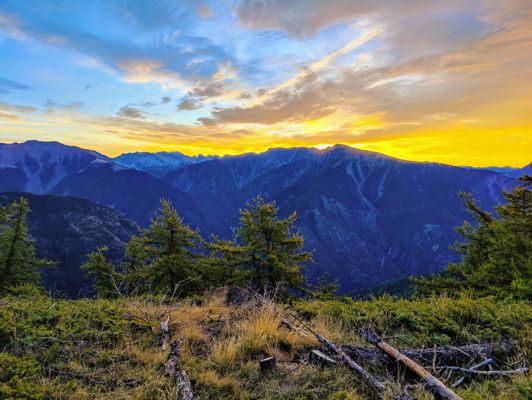
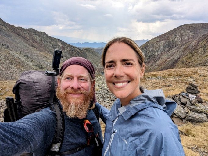
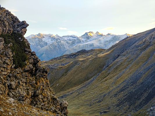
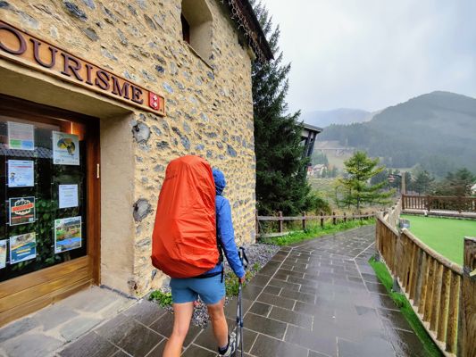
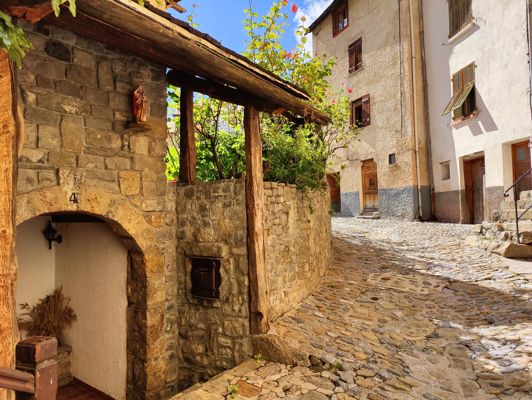
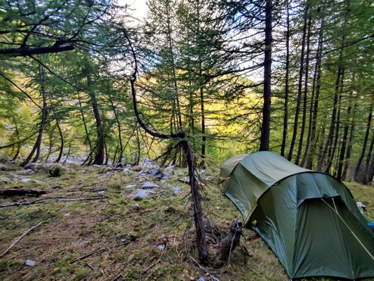
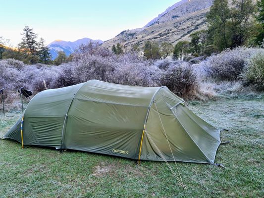
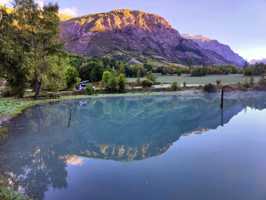
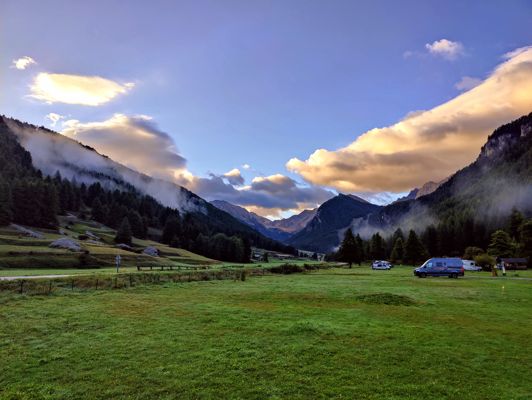
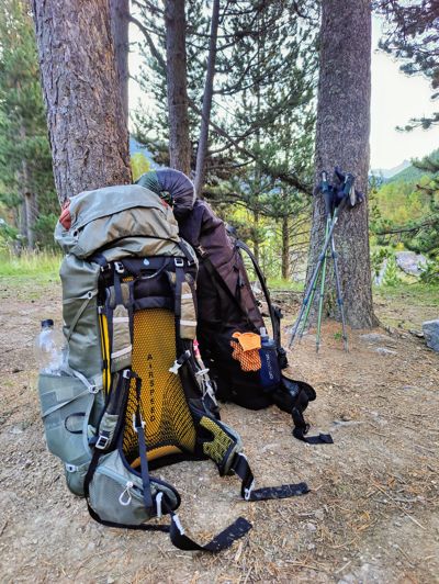
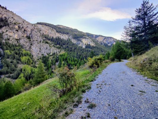
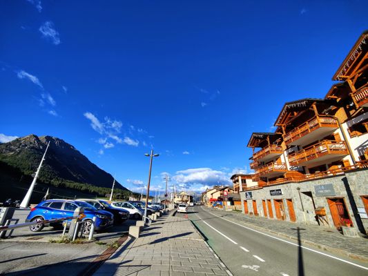
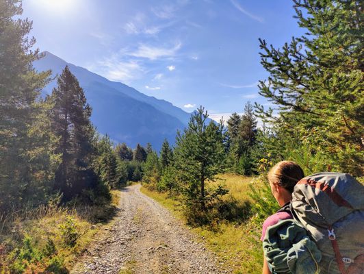
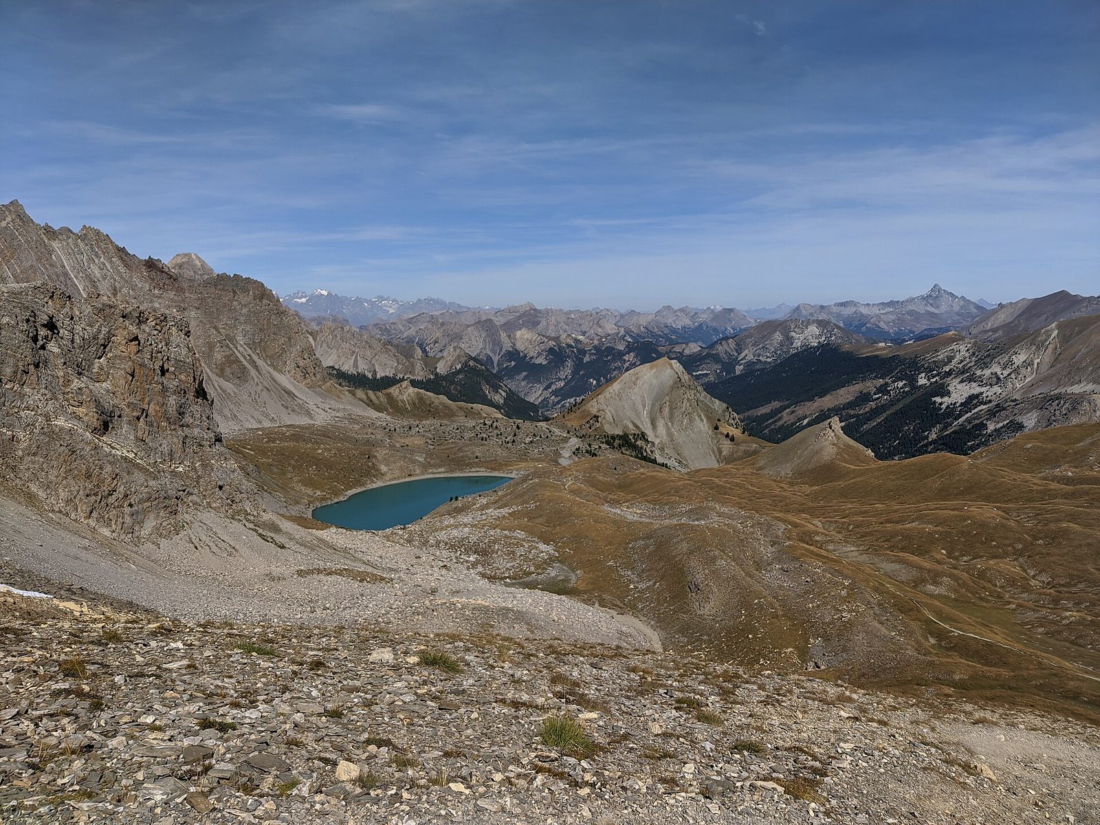
Photos of the route
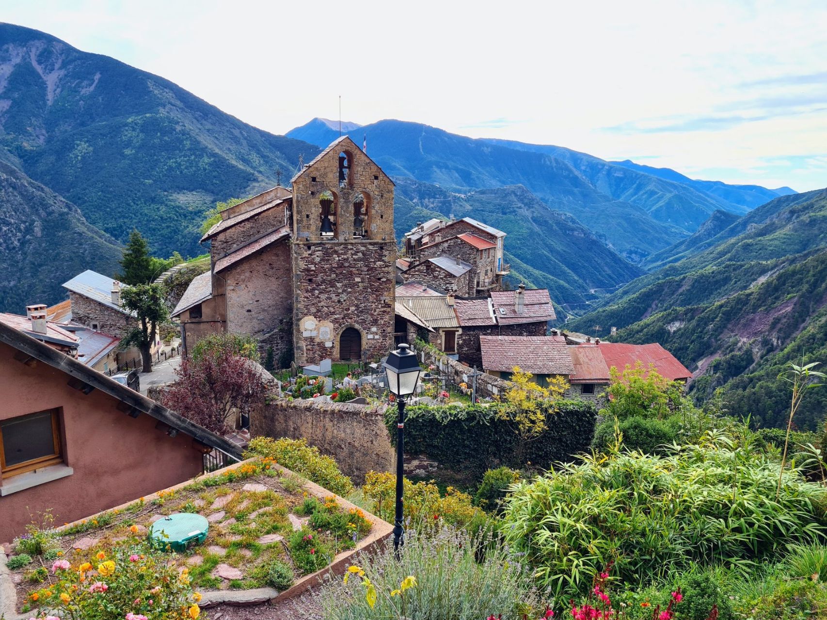
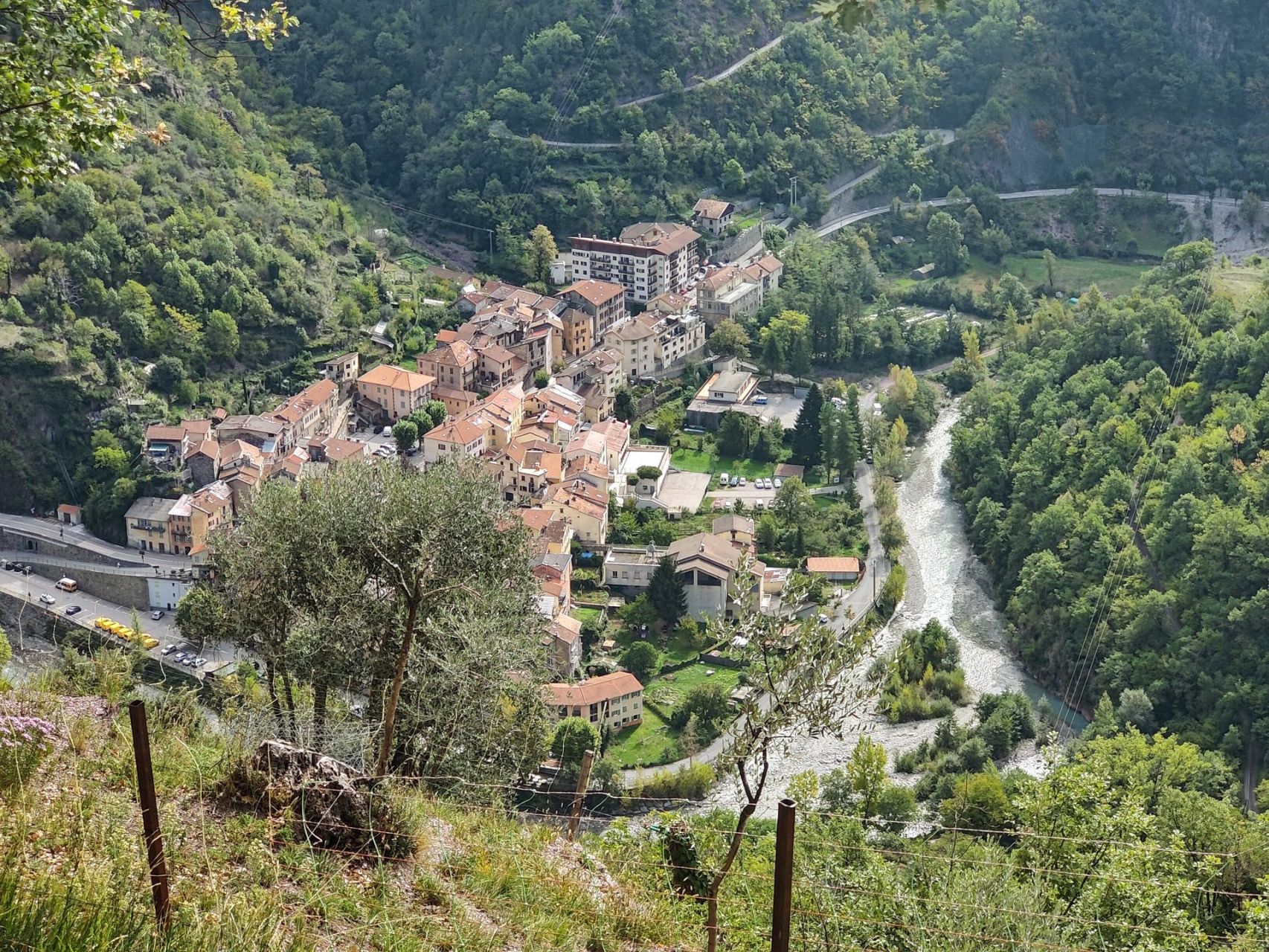
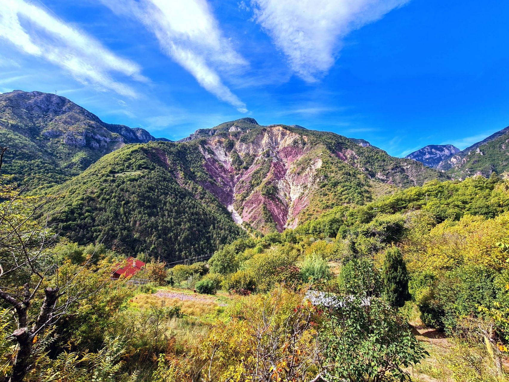
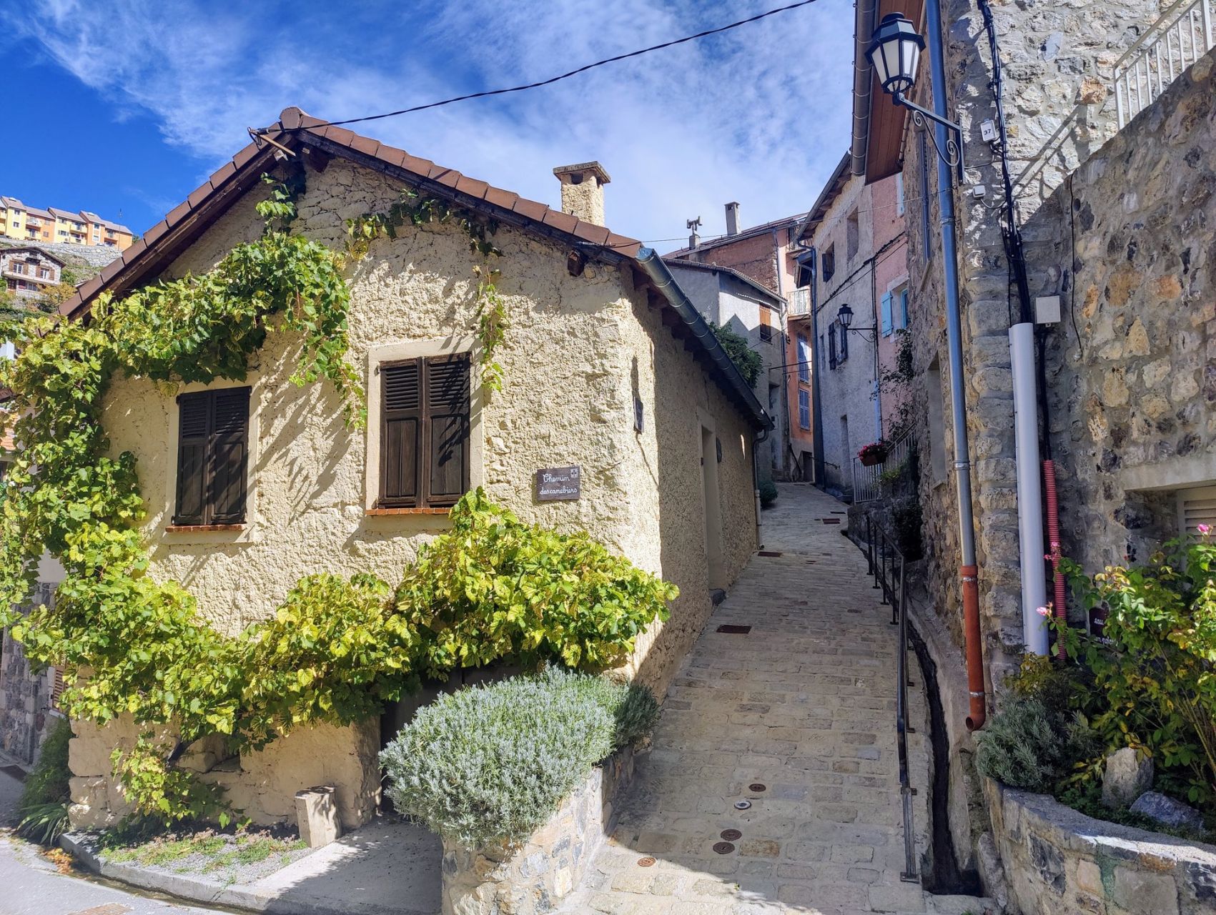
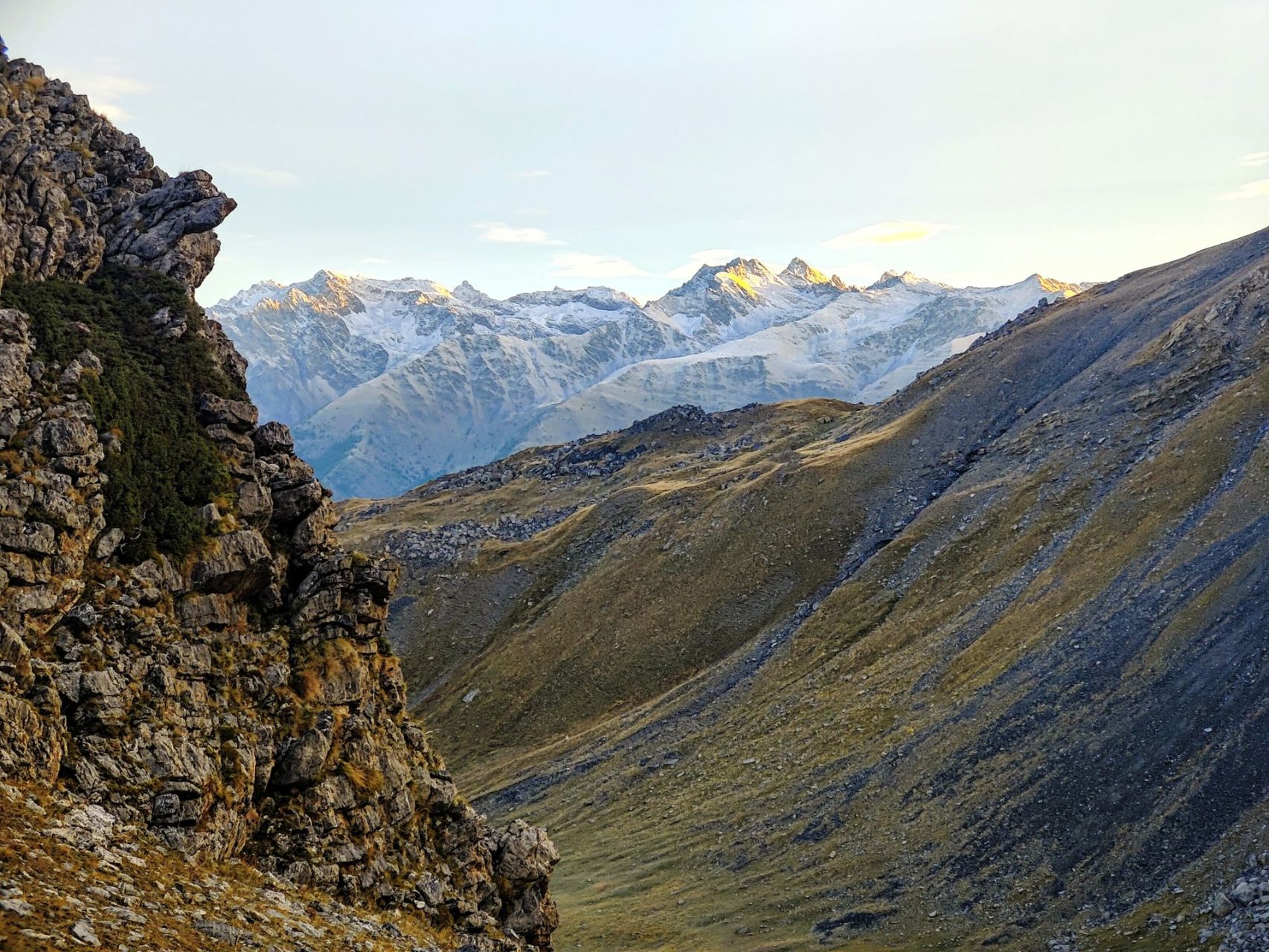
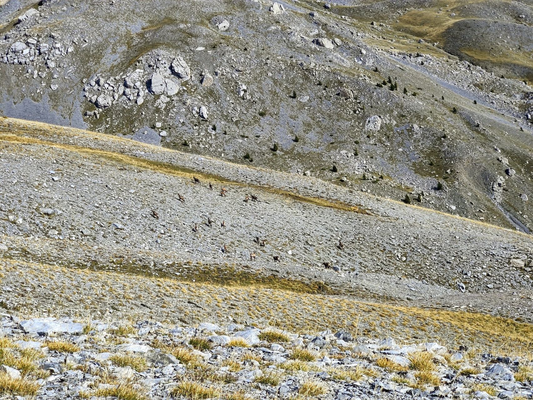
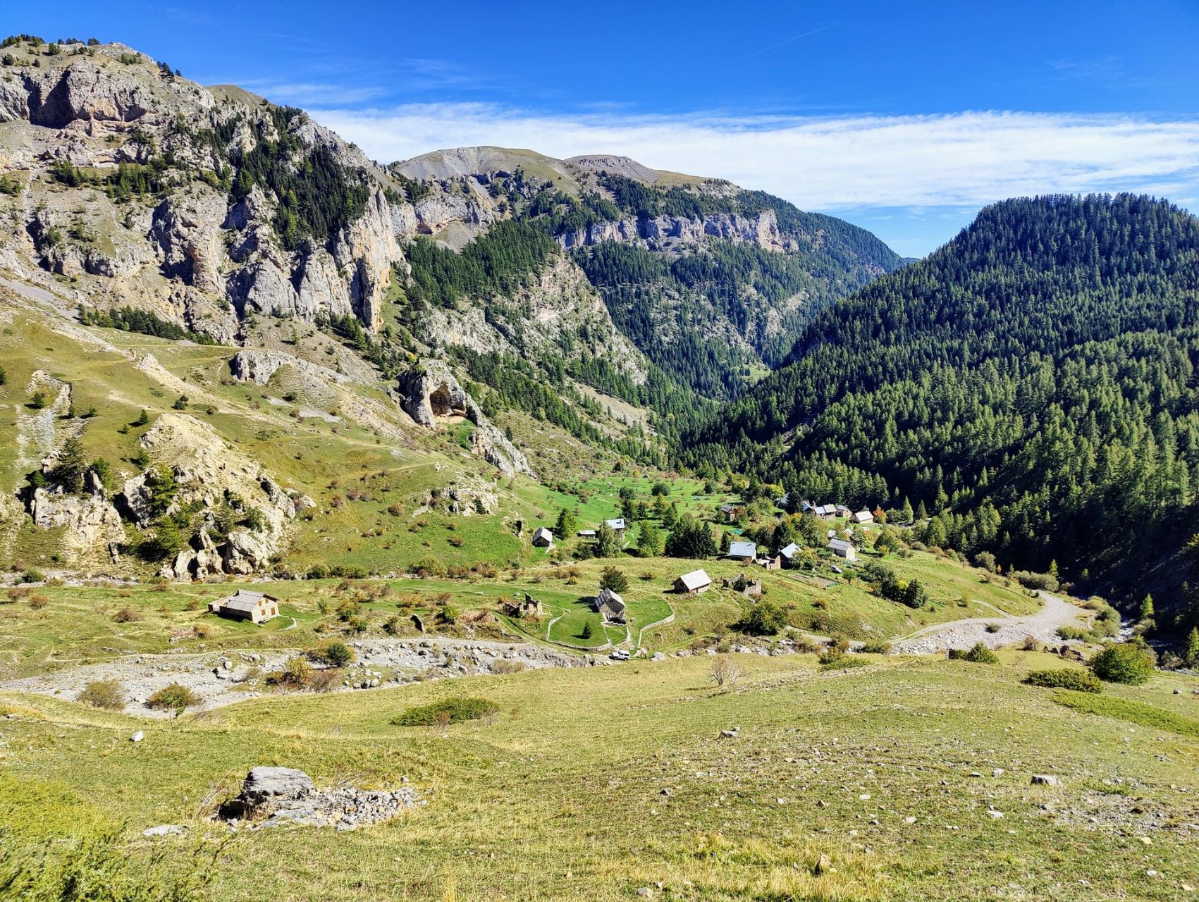
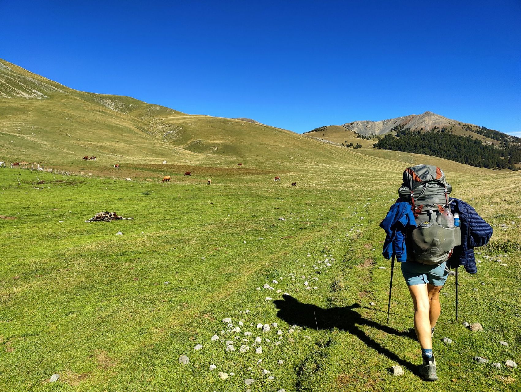
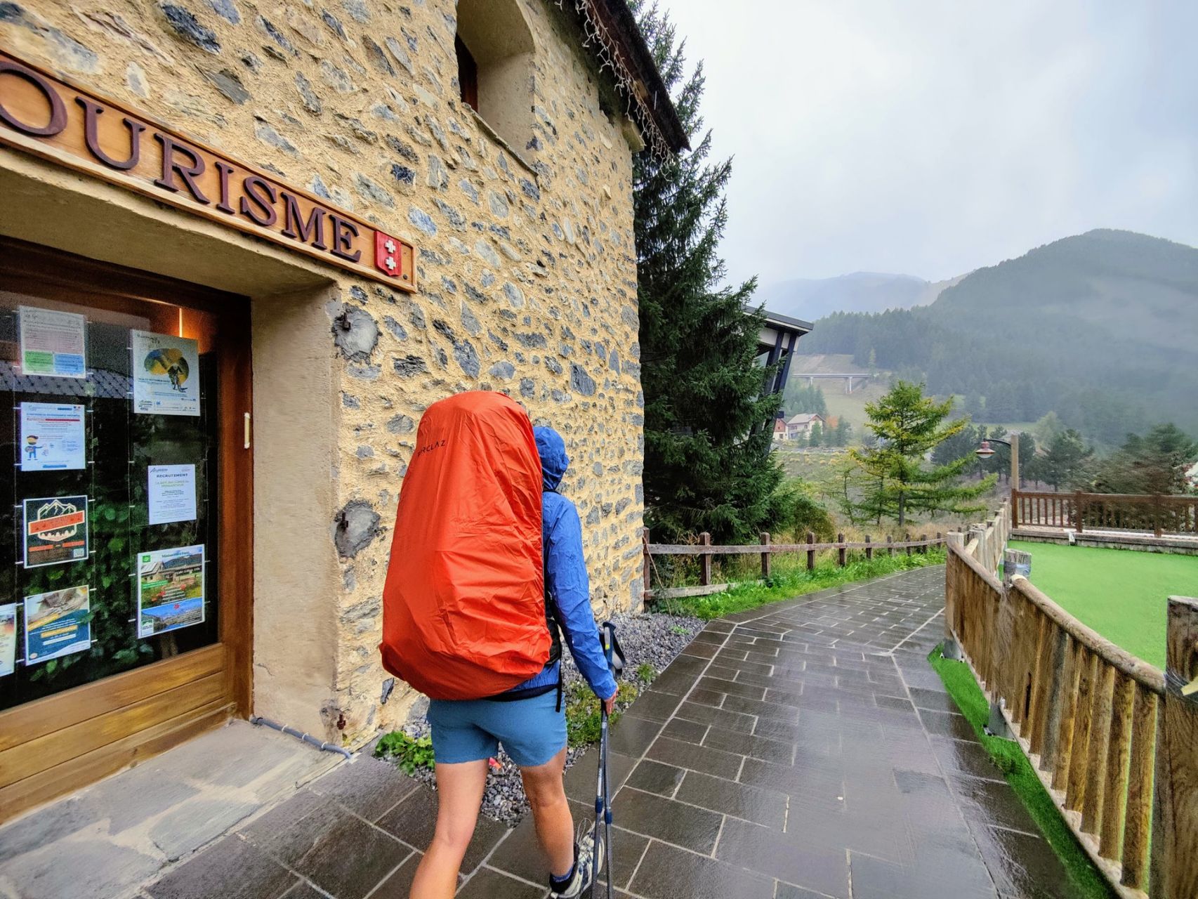
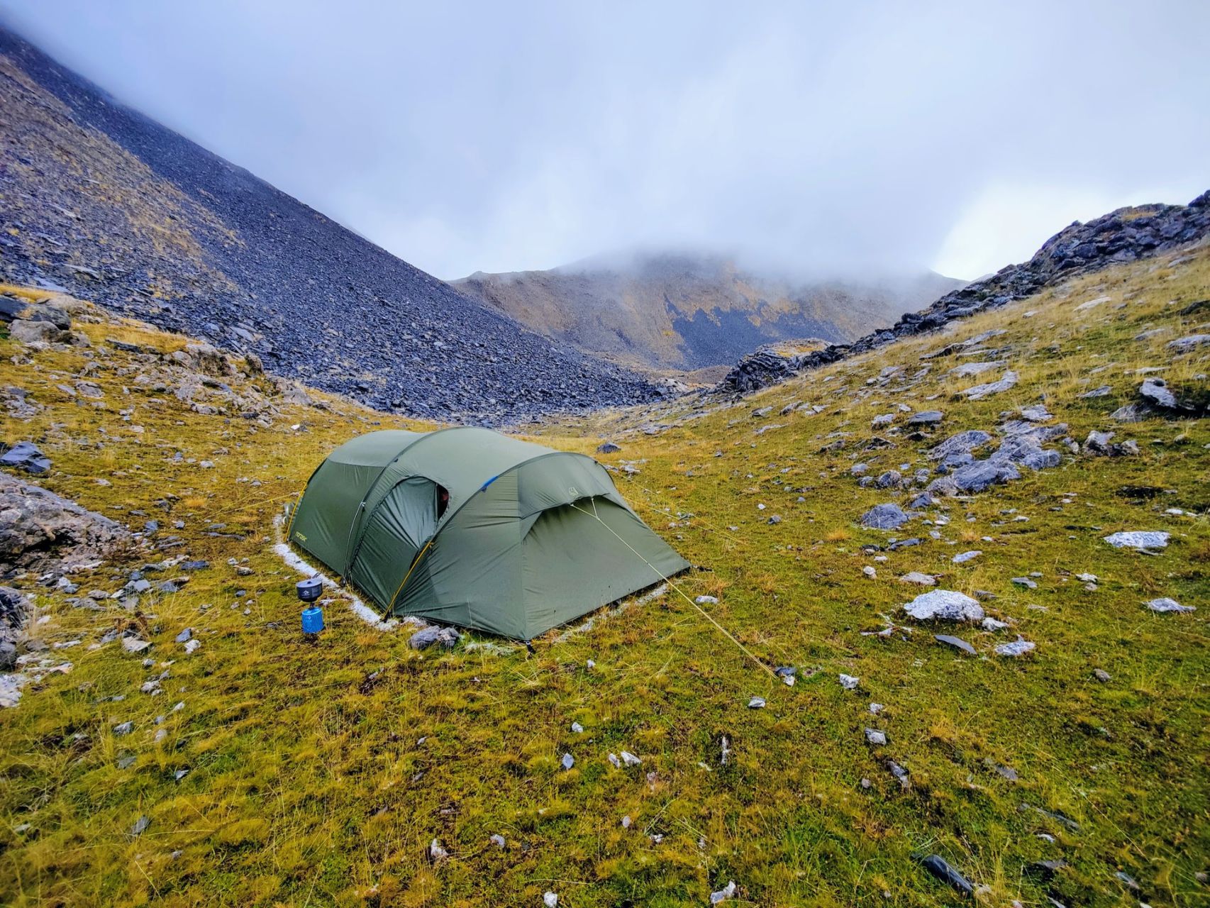
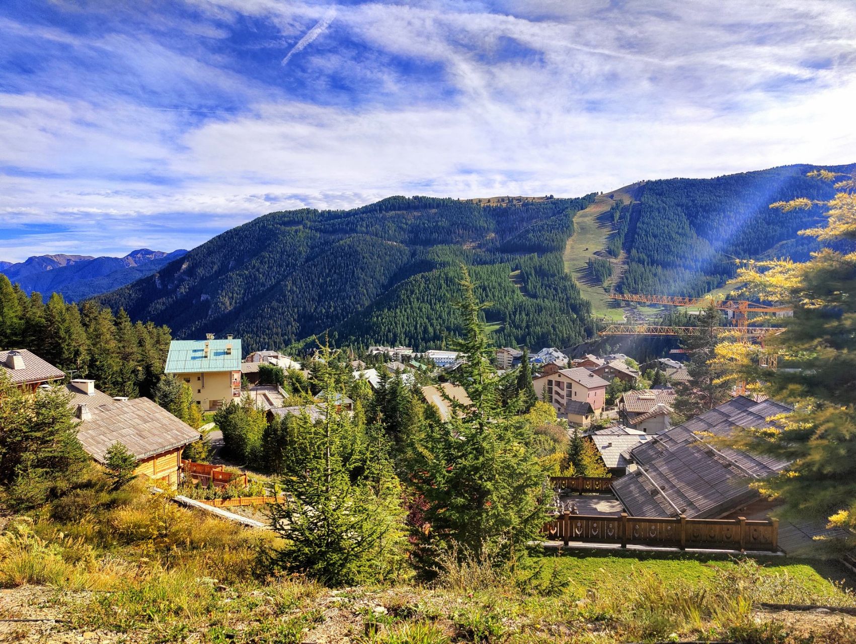
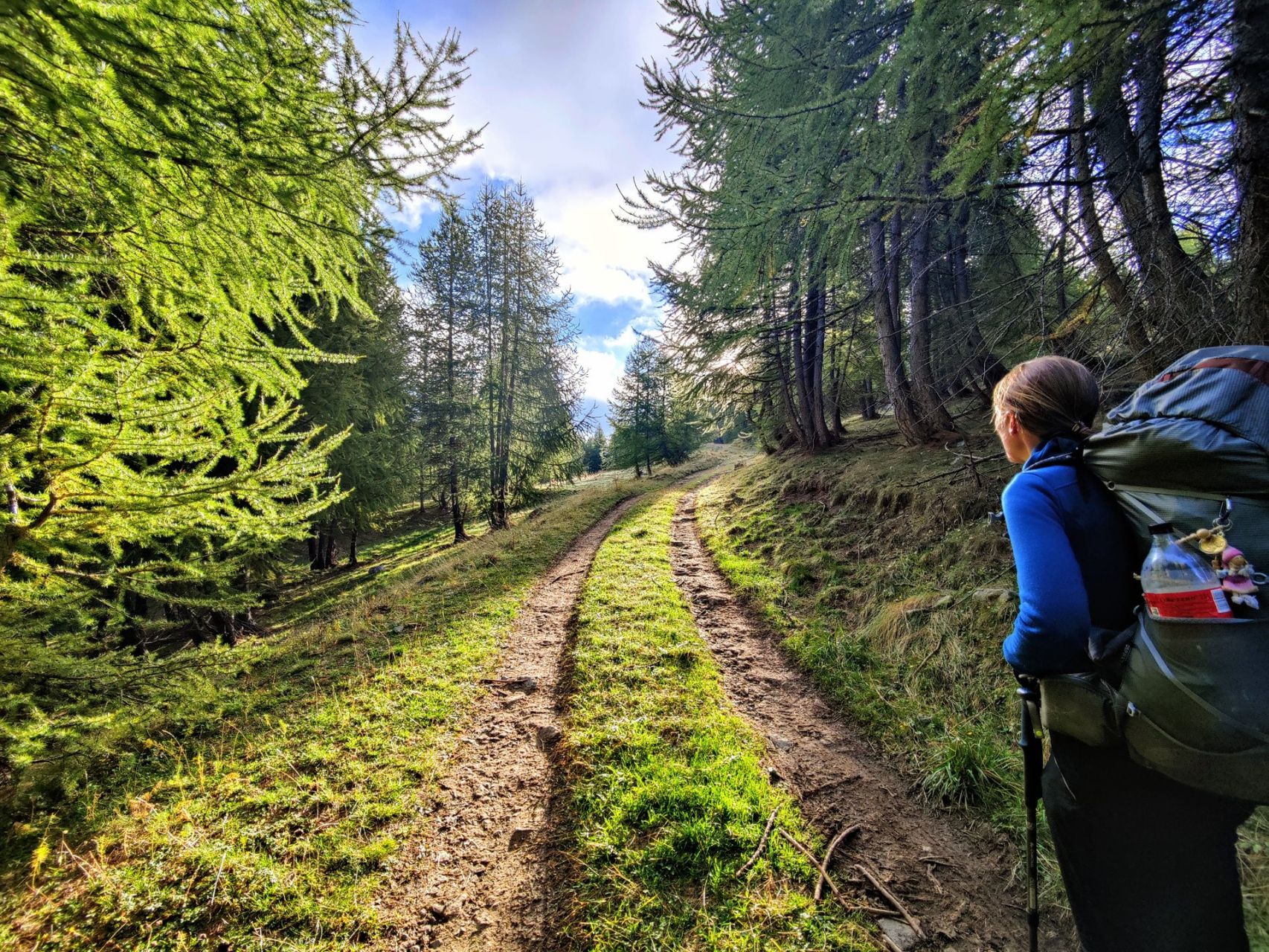
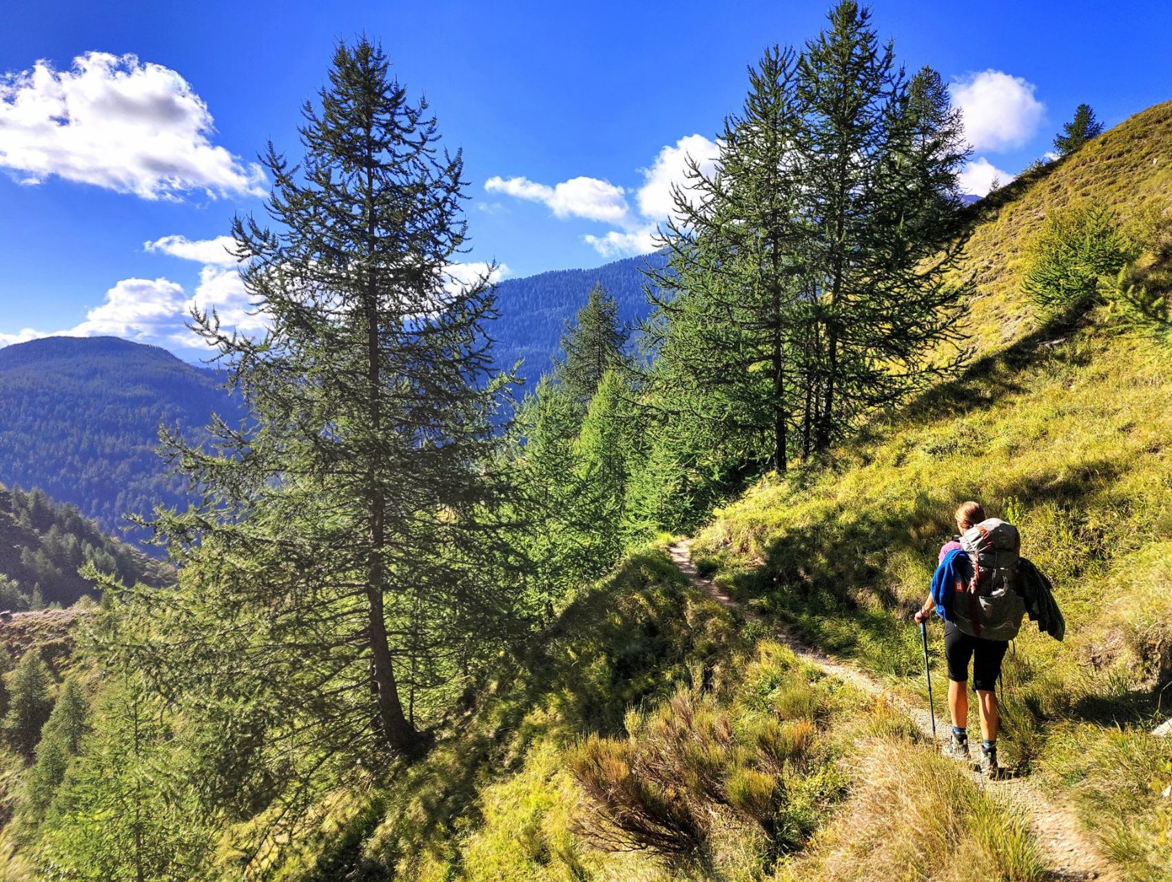
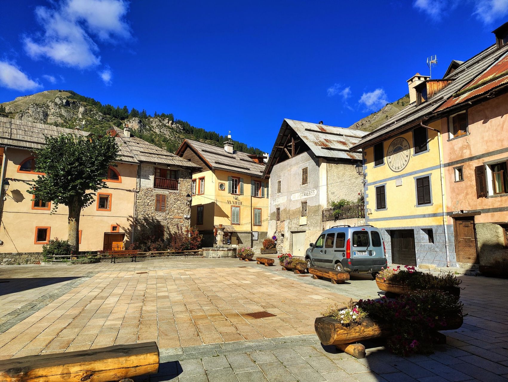
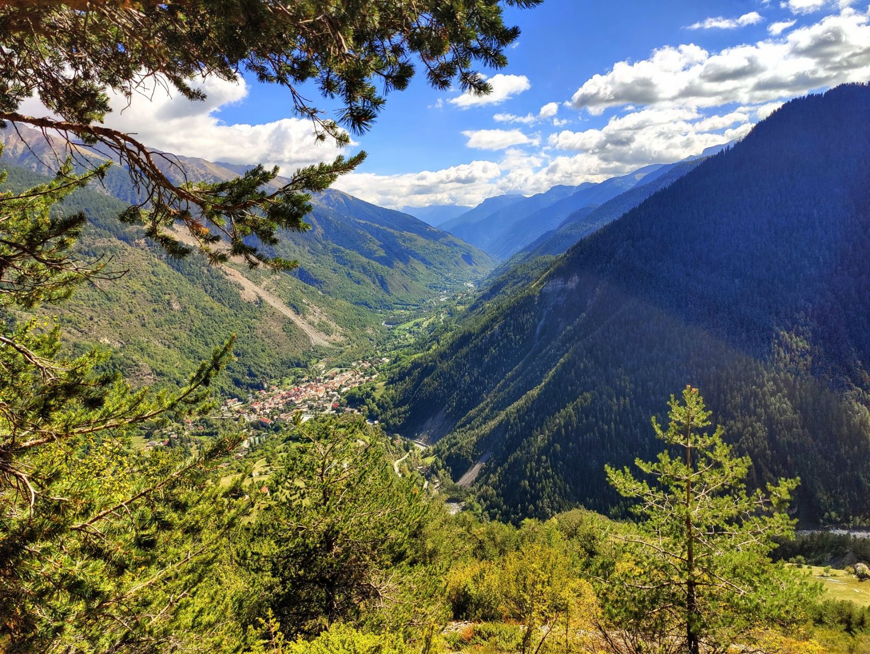
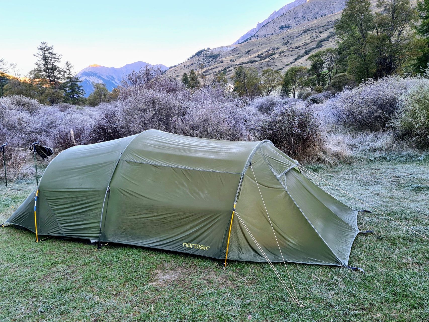
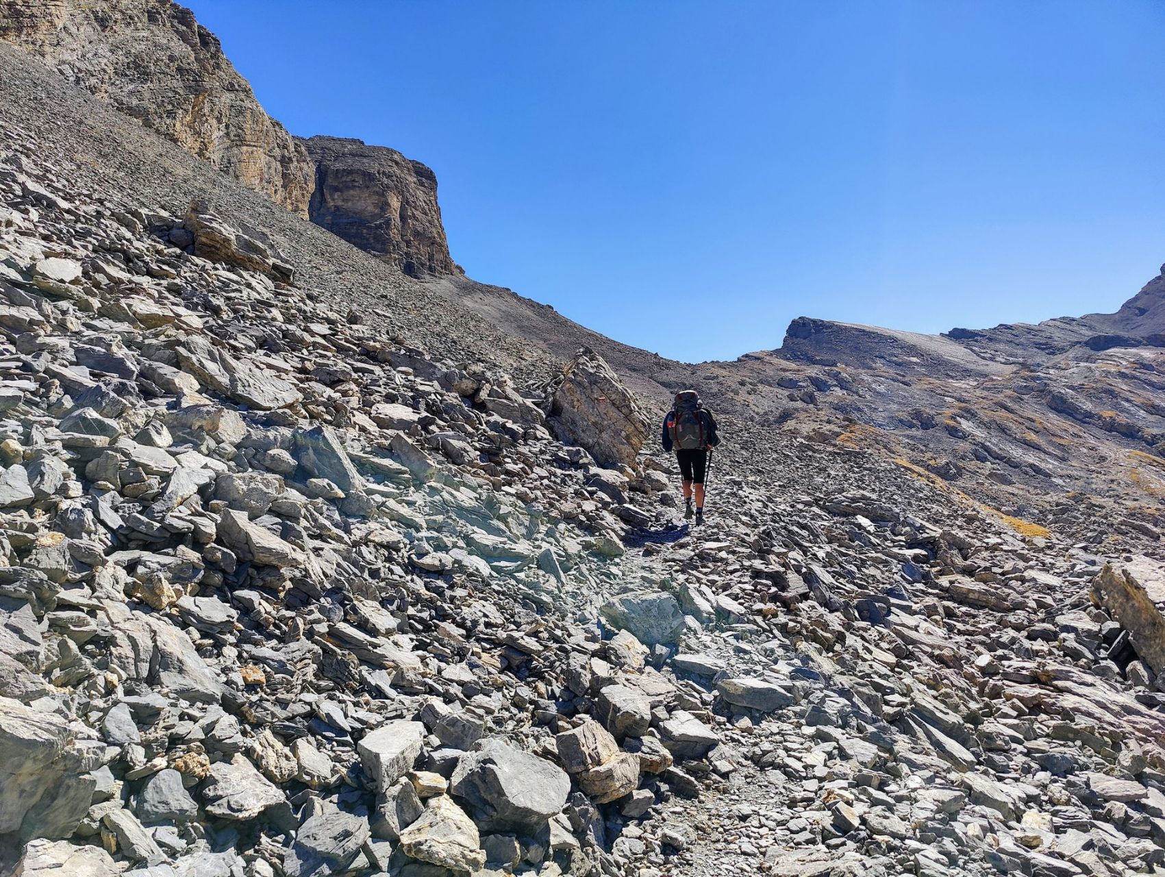
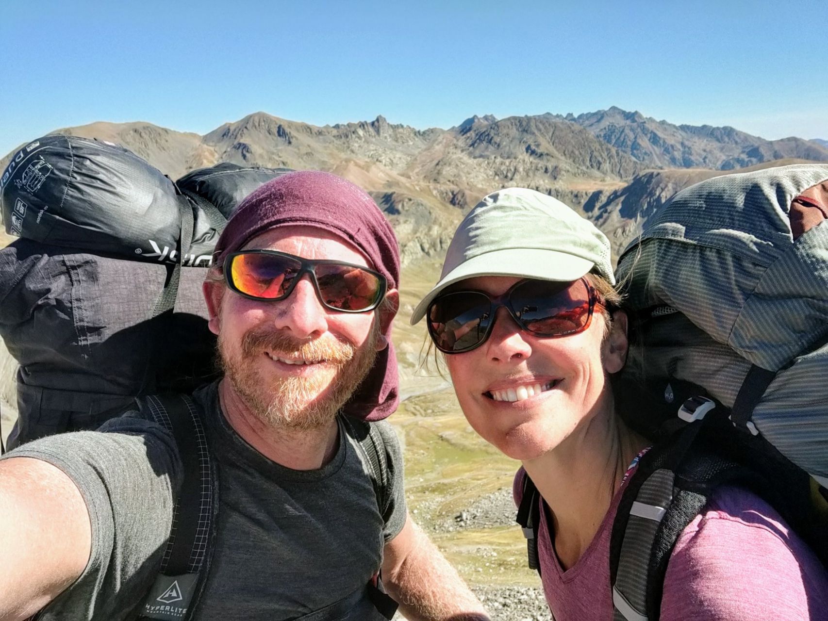
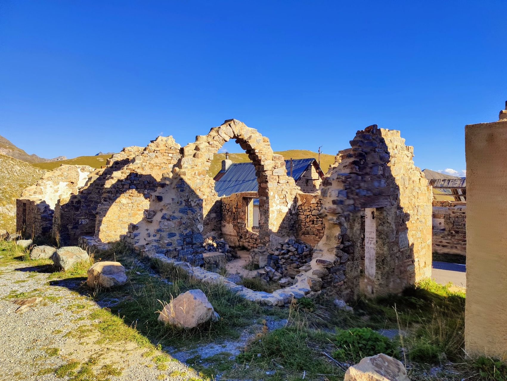
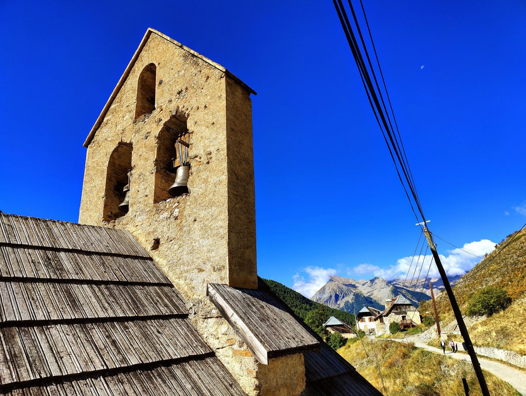
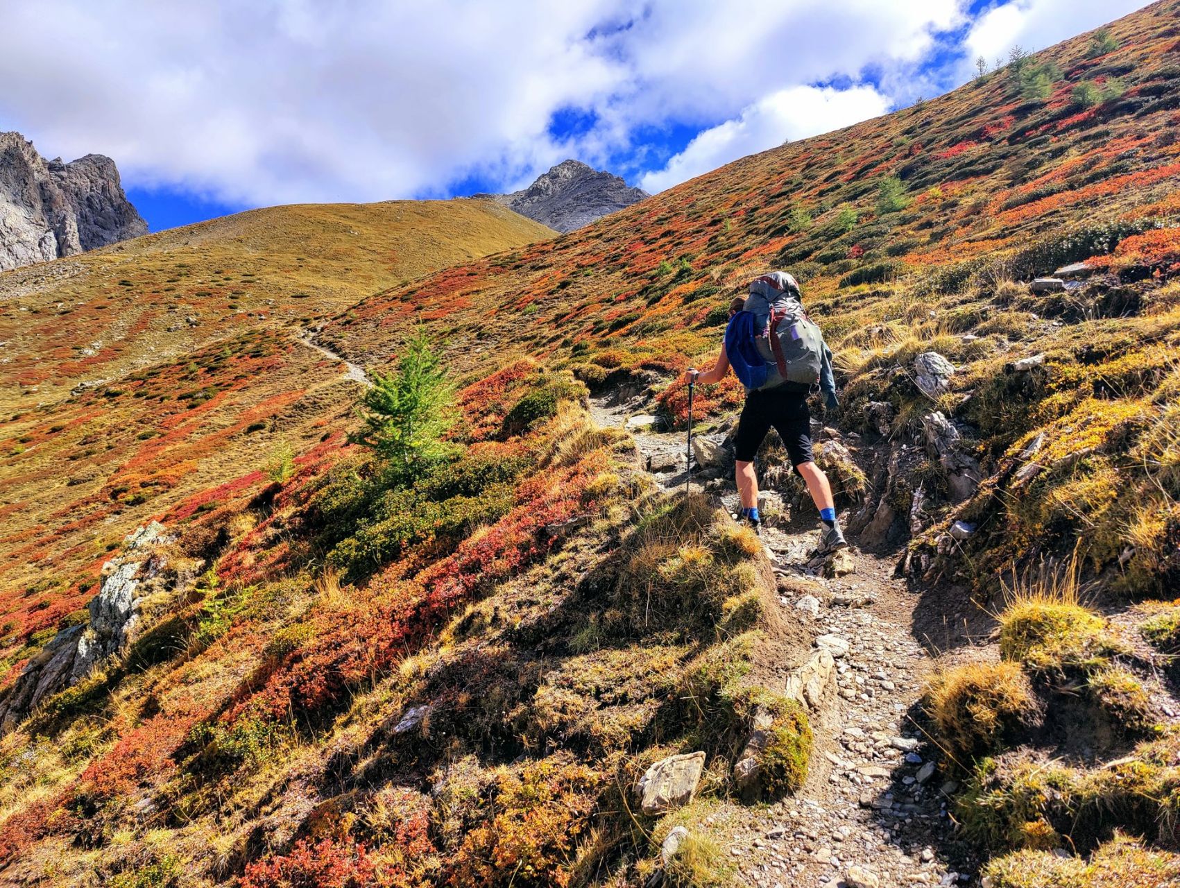
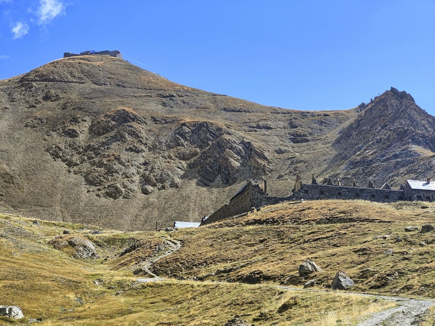
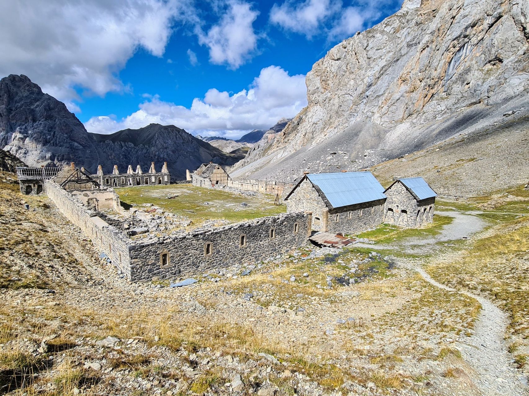
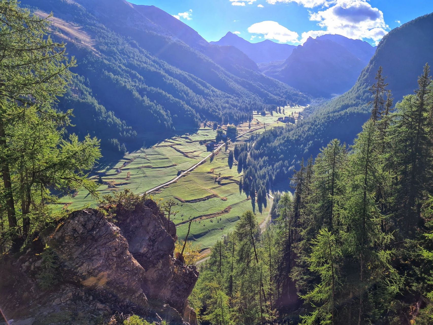
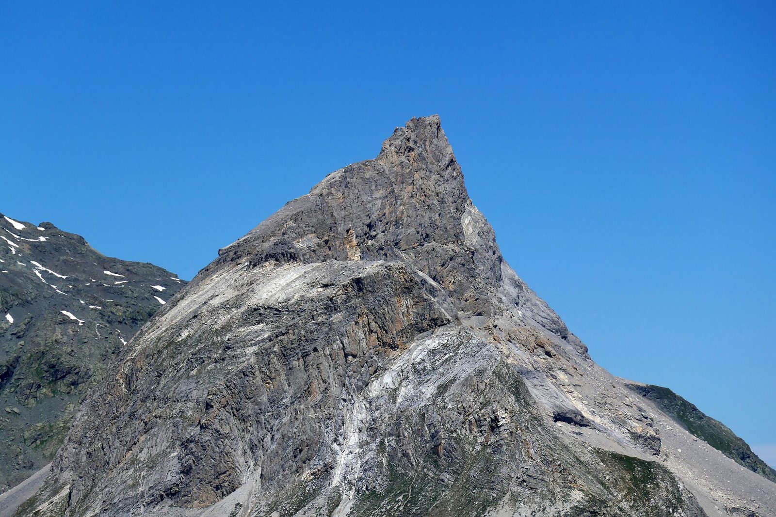
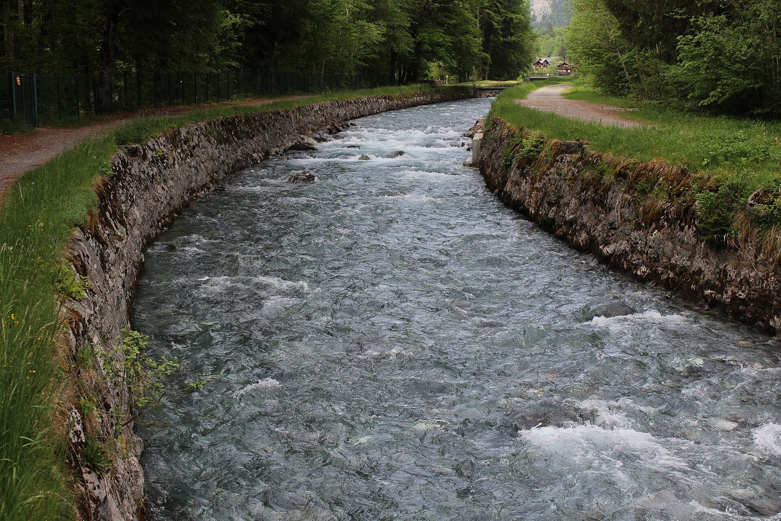
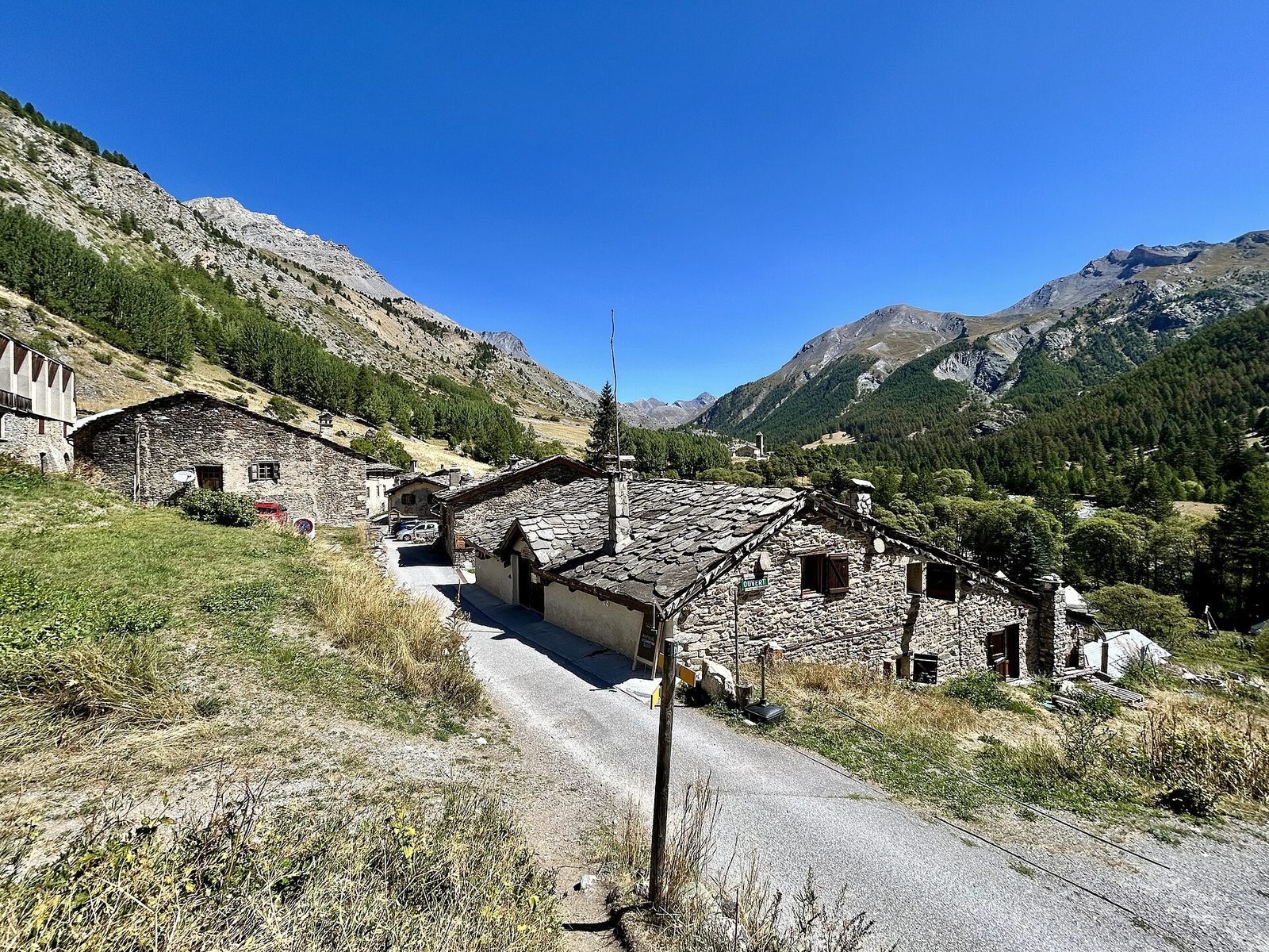
Photo credits
- Lac Sainte Anne.jpg · ThomasInTheSky · CC BY-SA 4.0
- Mont Blanc de Peisey.jpg · Tiia Monto · CC BY-SA 4.0
- Samoëns - Clévieux 3.JPG · This picture belongs to Xavier Caré. Please credit : Xavier Caré / Wikimedia Commons / CC-BY-SA. If you would like speci · CC BY-SA 4.0
- Saint-Paul-Sur-Ubaye -- Maljasset (2025-08-23).jpg · Olgierd Rudak · CC BY-SA 4.0
Stages
| 1 | 14 | 9.9 km | ↗ 1,508 m |
| 2 | 15 | 9.6 km | ↗ 369 m |
| 3 | 11 | 12.3 km | ↗ 1,222 m |
| 4 | 28 | 14 km | ↗ 750 m |
| 5 | 211 | 14.4 km | ↗ 367 m |
| 6 | 16 | 15.1 km | ↗ 1,367 m |
| 7 | 25 | 10.4 km | ↗ 758 m |
| 8 | 16 | 14 km | ↗ 673 m |
| 9 | 14 | 10.6 km | ↗ 754 m |
| 10 | 24 | 14 km | ↗ 841 m |
| 11 | 18 | 13 km | ↗ 876 m |
| 12 | 215 | 12.6 km | ↗ 1,049 m |
| 13 | 13 | 15.3 km | ↗ 155 m |
| 14 | 14 | 10.6 km | ↗ 911 m |
| 15 | 212 | 15 km | ↗ 1,110 m |
| 16 | 22 | 15 km | ↗ 1,076 m |
| 17 | 13 | 16.7 km | ↗ 535 m |
| 18 | 21 | 13.5 km | ↗ 875 m |
| 19 | 17 | 13 km | ↗ 673 m |
| 20 | 110 | 13.5 km | ↗ 718 m |
| 21 | 17 | 16.1 km | ↗ 903 m |
| 22 | 15 | 11.8 km | ↗ 515 m |
| 23 | 21 | 10.5 km | ↗ 539 m |
| 24 | 27 | 15.6 km | ↗ 987 m |
| 25 | 26 | 12.2 km | ↗ 500 m |
| 26 | 19 | 14.6 km | ↗ 1,074 m |
| 27 | 24 | 10.6 km | ↗ 115 m |
| 28 | 26 | 11.1 km | ↗ 930 m |
| 29 | 29 | 10.4 km | ↗ 479 m |
| 30 | 14 | 9.5 km | ↗ 735 m |
| 31 | 15 | 12.8 km | ↗ 600 m |
| 32 | 18 | 9.2 km | ↗ 1,054 m |
| 33 | 11 | 13.6 km | ↗ 464 m |
| 34 | 16 | 13.2 km | ↗ 819 m |
| 35 | 18 | 16.5 km | ↗ 1,000 m |
| 36 | 26 | 10.1 km | ↗ 613 m |
| 37 | 16 | 10.5 km | ↗ 329 m |
| 38 | 22 | 9 km | ↗ 979 m |
| 39 | 1 | 10 km | ↗ 902 m |
| 40 | 25 | 13.7 km | ↗ 560 m |
| 41 | 17 | 12.5 km | ↗ 150 m |
| 42 | 16 | 11.3 km | ↗ 1,122 m |
| 43 | 12.5 km | ↗ 965 m | |
| 44 | 13.3 km | ↗ 436 m | |
| 45 | 8.2 km | ↗ 327 m | |
| 46 | 14.7 km | ↗ 809 m | |
| 47 | 13.2 km | ↗ 177 m |