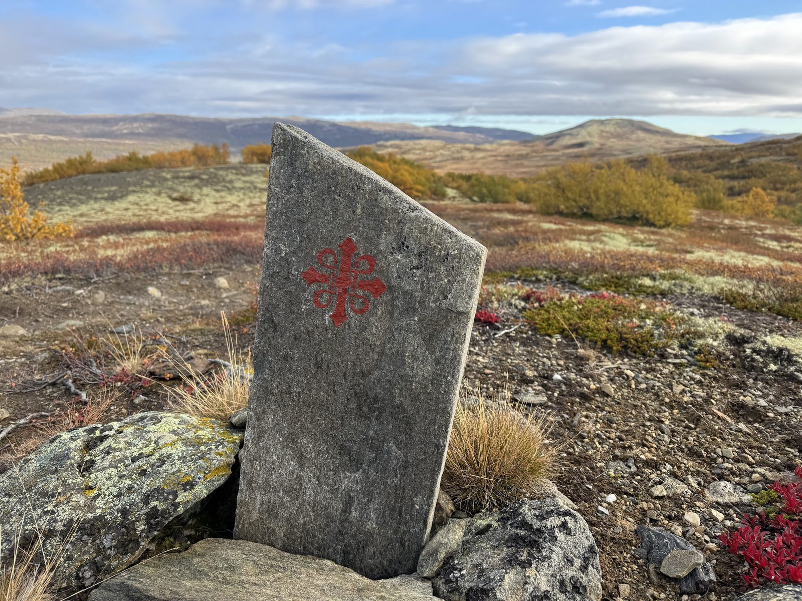
Photo: Mark & Malou · Wikimedia Commons
Gudbrandsdalsleden
NOThe Pilgrim's Route, also known as St. Olav's Way or the Old Kings' Road, is a pilgrimage route to the Nidaros Cathedral in Trondheim, Norway. The cathedral is the site of the medieval tomb of St. Olav, who brought Christianity to Norway. The main route is approximately 640 kilometres (400 mi) long. It starts in the ancient part of Oslo and heads north along the lake Mjøsa, up the Gudbrandsdalen valley, over the Dovrefjell mountains, and down the through the Oppdal and Gauldalen valleys to end at the Nidaros Cathedral.
Stages
| 1 | Oslo → Hosle | 19.3 km | ↗ 322 m |
| 2 | Hosle → Lommedalen | 12.7 km | ↗ 308 m |
| 3 | Lommedalen → Sundvollen | 16.4 km | ↗ 423 m |
| 4 | Sundvollen → Tanberg | 20.2 km | ↗ 325 m |
| 5 | Tanberg → Sløvika | 22.5 km | ↗ 406 m |
| 6 | Sløvika → Brandbu | 21 km | ↗ 428 m |
| 7 | Brandbu → Teiterud | 16.3 km | ↗ 555 m |
| 8 | Teiterud → Hol | 15.6 km | ↗ 215 m |
| 9 | Hol → Kapp | 18 km | ↗ 119 m |
| 10 | Kapp → Gjøvik | 16.5 km | ↗ 190 m |
| 11 | Gjøvik → Redalen | 13.7 km | ↗ 330 m |
| 12 | Redalen → Ekren | 19 km | ↗ 373 m |
| 13 | Ekren → Lillehammer | 17.4 km | ↗ 328 m |
| 14 | Lillehammer → Mo | 17.7 km | ↗ 354 m |
| 15 | Mo → Langgard | 16.6 km | ↗ 745 m |
| 16 | Langgard → Bråstad | 14.2 km | ↗ 392 m |
| 17 | Bråstad → Ringebu | 17.2 km | ↗ 403 m |
| 18 | Ringebu → Harpefoss | 19.1 km | ↗ 649 m |
| 19 | Harpefoss → Kvam | 19.9 km | ↗ 509 m |
| 20 | Kvam → Otta | 20 km | ↗ 726 m |
| 21 | Otta → Haugen | 25.6 km | ↗ 360 m |
| 22 | Haugen → Kili | 15.6 km | ↗ 576 m |
| 23 | Kili → Furuhauglie | 20.9 km | ↗ 691 m |
| 24 | Furuhauglie → Hjerkinn fjellstue | 16.9 km | ↗ 198 m |
| 25 | Hjerkinn fjellstue → Kongsvold Fjeldstue | 12.7 km | ↗ 412 m |
| 26 | Kongsvold Fjeldstue → Ryphusan | 21.5 km | ↗ 736 m |
| 27 | Ryphusan → Driva | 15 km | ↗ 34 m |
| 28 | Driva → Rønningsgrenda | 16.4 km | ↗ 295 m |
| 29 | Rønningsgrenda → Sundset | 21.3 km | ↗ 213 m |
| 30 | Sundset → Rennebu | 17.6 km | ↗ 338 m |
| 31 | Rennebu → Tverdal | 13.4 km | ↗ 436 m |
| 32 | Tverdal → Meldal | 16.3 km | ↗ 211 m |
| 33 | Meldal → Hongslo | 19 km | ↗ 355 m |
| 34 | Hongslo → Husby | 20 km | ↗ 423 m |
| 35 | Husby → Trondheim | 21.4 km | ↗ 426 m |
| 36 | Melhus → Trondheim | 23 km | ↗ 412 m |