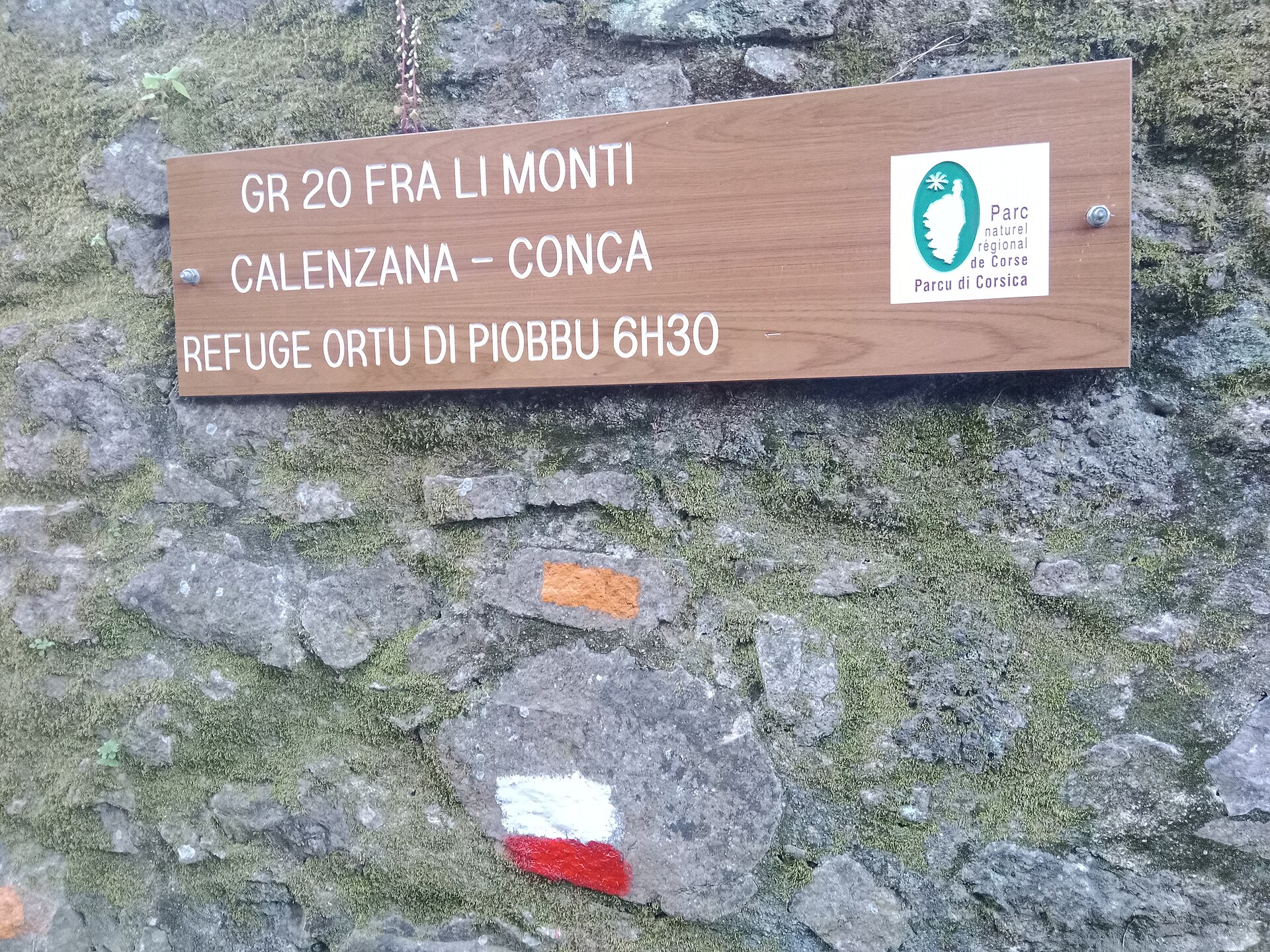
Photo: Rémih · Wikimedia Commons · CC BY-SA 4.0

GR 20
FRThe GR 20 is a GR footpath that crosses the Mediterranean island of Corsica running approximately north–south, described by the outdoor writer Paddy Dillon as "one of the top trails in the world".
Stages
| 1 | Calenzana → Bocca à U Bassiguellu | 9 km | ↗ 1,342 m |
| 2 | Bocca à U Bassiguellu → Refuge de Carozzu | 9.7 km | ↗ 828 m |
| 3 | Refuge de Carozzu → Capu Borba | 8.3 km | ↗ 1,462 m |
| 4 | Capu Borba → Parc naturel régional de Corse | 8 km | ↗ 550 m |
| 5 | Parc naturel régional de Corse → Castel De Vergio | 11.8 km | ↗ 783 m |
| 6 | Castel De Vergio → Bergeries de Vaccaghia | 14.5 km | ↗ 703 m |
| 7 | Bergeries de Vaccaghia → Refuge de Petra Piana | 10.4 km | ↗ 918 m |
| 8 | Refuge de Petra Piana → Refuge de l'Onda | 9.8 km | ↗ 459 m |
| 9 | Refuge de l'Onda → Vizzavona Gare | 10.2 km | ↗ 675 m |
| 10 | Vizzavona Gare → Refuge d'E Capanelle | 14 km | ↗ 1,097 m |
| 11 | Refuge d'E Capanelle → Relais San Petru di Verde | 12.9 km | ↗ 546 m |
| 12 | Relais San Petru di Verde → Parc naturel régional de Corse | 11.3 km | ↗ 862 m |
| 13 | Parc naturel régional de Corse → Bergeries de Basseta | 13.5 km | ↗ 613 m |
| 14 | Bergeries de Basseta → Refuge d'Asinau | 11.6 km | ↗ 766 m |
| 15 | Refuge d'Asinau → Refuge d'i Paliri | 15.3 km | ↗ 611 m |
| 16 | Refuge d'i Paliri → Conca | 13.2 km | ↗ 438 m |