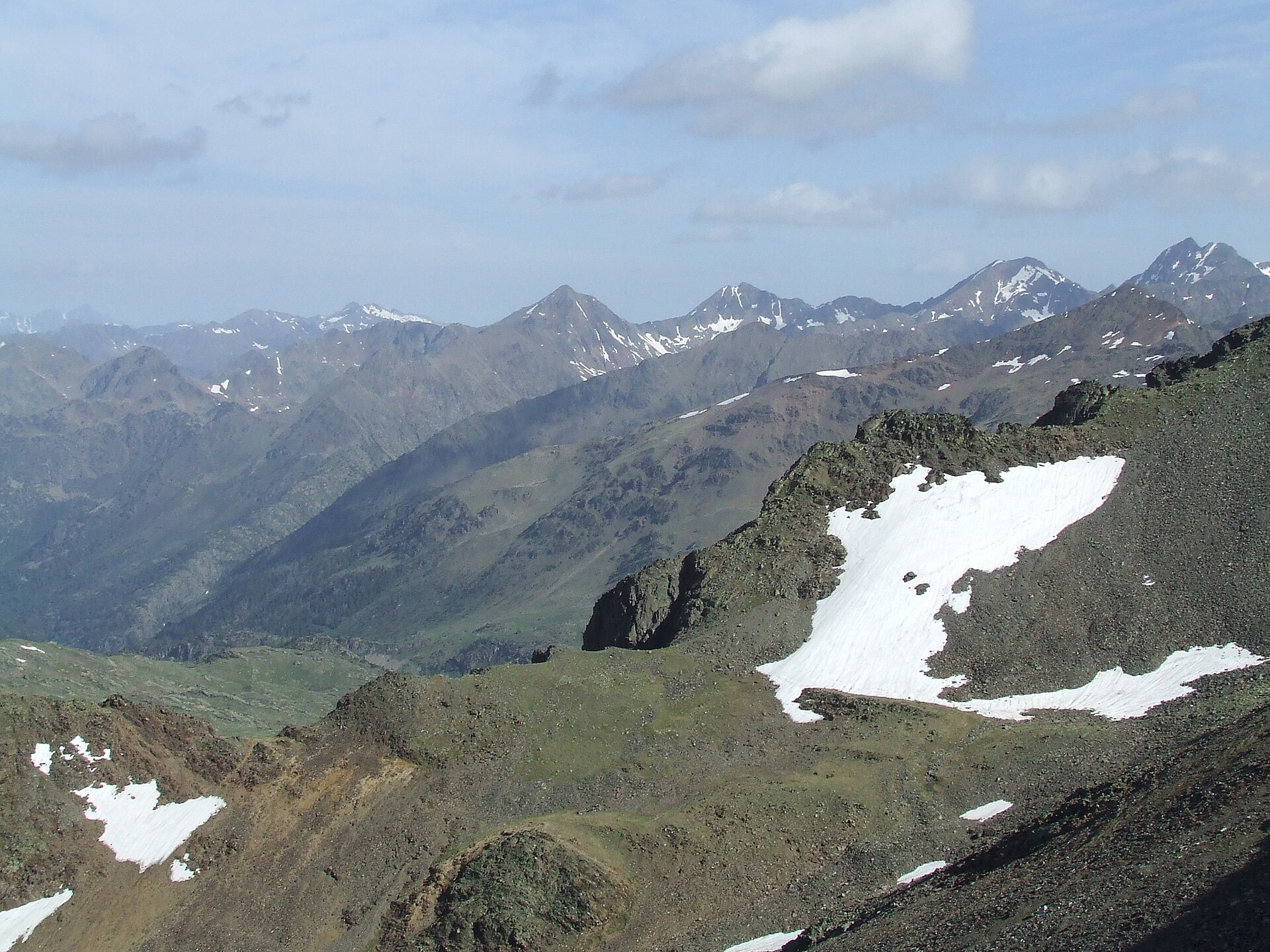
Photo: JMiall · Wikimedia Commons · CC BY-SA 3.0

GR-11 (Spain)
ESFRADThe GR 11, also known as the ruta Transpirenaica in Spain, is part of the extensive GR footpath network of paths, tracks and trails. It runs through the Spanish Pyrenees, passing only briefly into France near Candanchu.
Stages
| 1 | Cadaqués → el Port de la Selva | 15.7 km | ↗ 479 m |
| 2 | el Port de la Selva → Carena del Barracot | 27.3 km | ↗ 1,181 m |
| 3 | Carena del Barracot → Requesens | 24.3 km | ↗ 977 m |
| 4 | Requesens → la Vajol | 25.6 km | ↗ 1,076 m |
| 5 | la Vajol → Albanyà | 26.2 km | ↗ 990 m |
| 6 | Albanyà → Refugi de Sant Aniol d'Aguja | 19 km | ↗ 1,188 m |
| 7 | Refugi de Sant Aniol d'Aguja → Molló | 27.1 km | ↗ 1,785 m |
| 8 | Molló → Vallter2000 | 20.3 km | ↗ 1,680 m |
| 9 | Vallter2000 → Queralbs | 19.6 km | ↗ 891 m |
| 10 | Queralbs → Planoles | 10.4 km | ↗ 704 m |
| 11 | Planoles → Puigcerdà | 29.8 km | ↗ 1,157 m |
| 12 | Puigcerdà → Refugi Engorgs - Joaquim Folch i Girona | 16 km | ↗ 1,367 m |
| 13 | Refugi Engorgs - Joaquim Folch i Girona → Encamp | 25.4 km | ↗ 992 m |
| 14 | Encamp → Arans | 15 km | ↗ 1,306 m |
| 15 | Arans → Refugi Baiau "Josep Maria Montfort" | 13.9 km | ↗ 2,021 m |
| 16 | Refugi Baiau "Josep Maria Montfort" → Tavascan | 28.5 km | ↗ 1,328 m |
| 17 | Tavascan → la Guingueta d'Àneu | 24.4 km | ↗ 1,848 m |
| 18 | la Guingueta d'Àneu → Estanh Major de Colomèrs | 28.5 km | ↗ 2,100 m |
| 19 | Estanh Major de Colomèrs → Refugi de Conangles | 25.5 km | ↗ 1,429 m |
| 20 | Refugi de Conangles → Benasque | 27 km | ↗ 1,584 m |
| 21 | Benasque → Bordas de Viadós | 20.6 km | ↗ 1,411 m |
| 22 | Bordas de Viadós → Parzán | 21.8 km | ↗ 960 m |
| 23 | Parzán → los Sacos | 17.2 km | ↗ 1,208 m |
| 24 | los Sacos → Refugio de Goriz | 14.9 km | ↗ 1,956 m |
| 25 | Refugio de Goriz → Refugio de Bujaruelo | 24.7 km | ↗ 636 m |
| 26 | Refugio de Bujaruelo → Baños de Panticosa | 20.4 km | ↗ 1,316 m |
| 27 | Baños de Panticosa → Sallent de Gállego | 23.9 km | ↗ 1,447 m |
| 28 | Sallent de Gállego → Candanchú | 24.5 km | ↗ 1,236 m |
| 29 | Candanchú → La Cantalera | 37.6 km | ↗ 1,865 m |
| 30 | La Cantalera → Refugio forestal de Zuriza | 11.9 km | ↗ 799 m |
| 31 | Refugio forestal de Zuriza → Isaba / Izaba | 10.6 km | ↗ 146 m |
| 32 | Isaba / Izaba → Ochagavía / Otsagabia | 20.9 km | ↗ 757 m |
| 33 | Ochagavía / Otsagabia → Hiriberri / Villanueva de Aezkoa | 20.4 km | ↗ 967 m |
| 34 | Hiriberri / Villanueva de Aezkoa → Auritz / Burguete | 17.2 km | ↗ 616 m |
| 35 | Auritz / Burguete → Elizondo | 35.4 km | ↗ 1,171 m |
| 36 | Elizondo → Bera | 30.4 km | ↗ 1,188 m |
| 37 | Bera → Hondarribia | 31.6 km | ↗ 1,111 m |