Fishermans Trail
PTBest monthsJanFebMarAprMayJunJulAugSeptOctNovDec
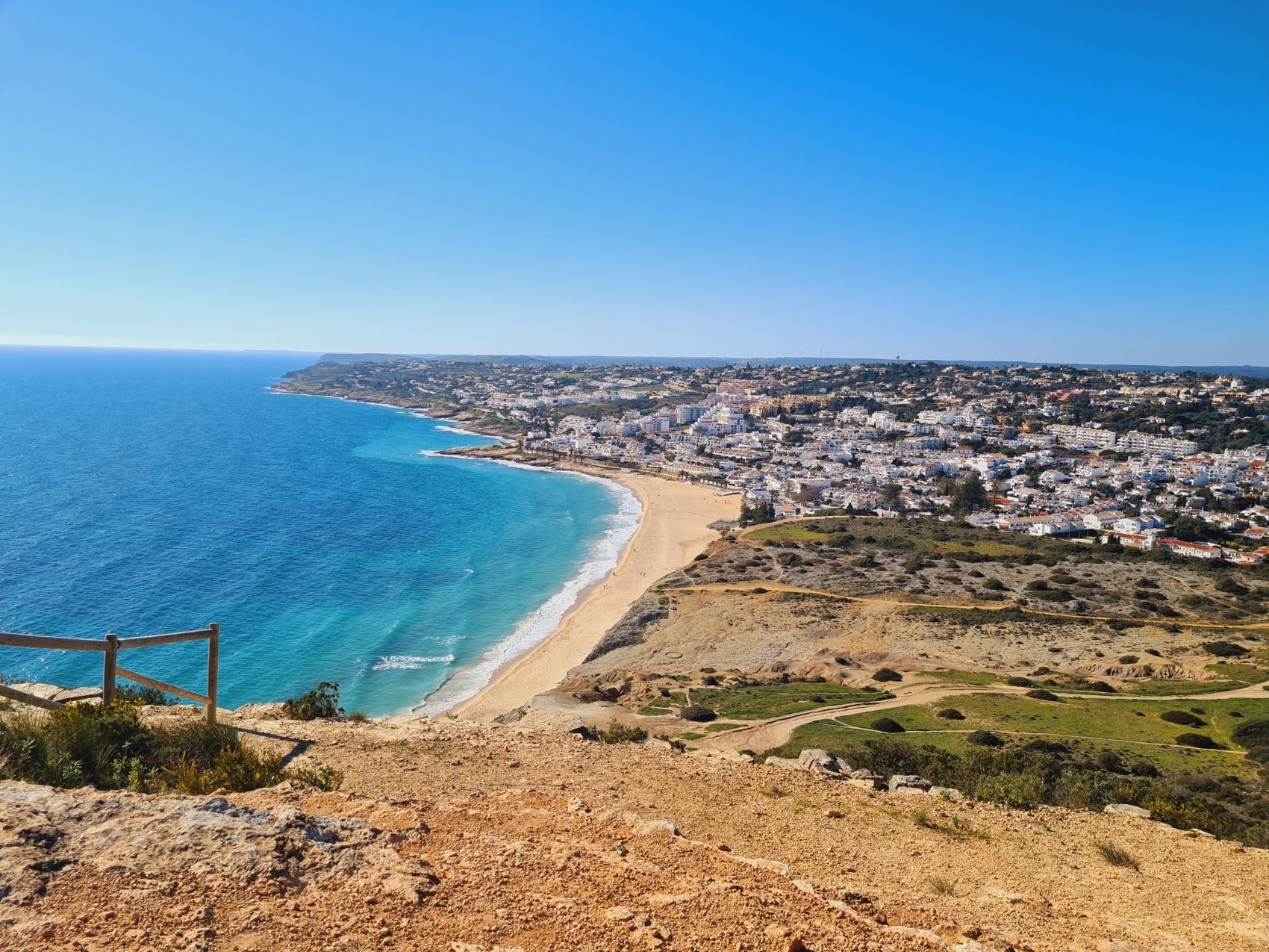
The Fishermen’s Trail is a long-distance coastal hike along Portugal’s wild southwest Atlantic coast. Following historic fishermen’s paths through cliffs, beaches and fishing villages, the route runs from São Torpes to Lagos and offers a raw, elemental walking experience shaped by wind, sand and ocean.
Stages
| 1 | São Torpes - Porto Covo | 10.2 km | ↗ 176 m |
| 2 | Porto Covo - Vila Nova de Milfontes | 19.6 km | ↗ 502 m |
| 3 | Vila Nova de Milfontes - Almograve | 14.7 km | ↗ 275 m |
| 4 | Almograve - Zambujeira do Mar | 21.5 km | ↗ 474 m |
| 5 | Zambujeira do Mar - Odeceixe | 18.7 km | ↗ 713 m |
| 6 | Odeceixe - Aljezur | 22.5 km | ↗ 400 m |
| 7 | Aljezur - Arrifana | 17.1 km | ↗ 476 m |
| 8 | Arrifana - Carrapateira | 19.4 km | ↗ 448 m |
| 9 | Carrapateira - Vila do Bispo | 15.3 km | ↗ 426 m |
| 10 | Vila do Bispo - Sagres | 20.2 km | ↗ 330 m |
| 11 | Sagres - Salema | 19.5 km | ↗ 544 m |
| 12 | Salema - Luz | 11.5 km | ↗ 417 m |
| 13 | Luz - Lagos | 10.9 km | ↗ 476 m |