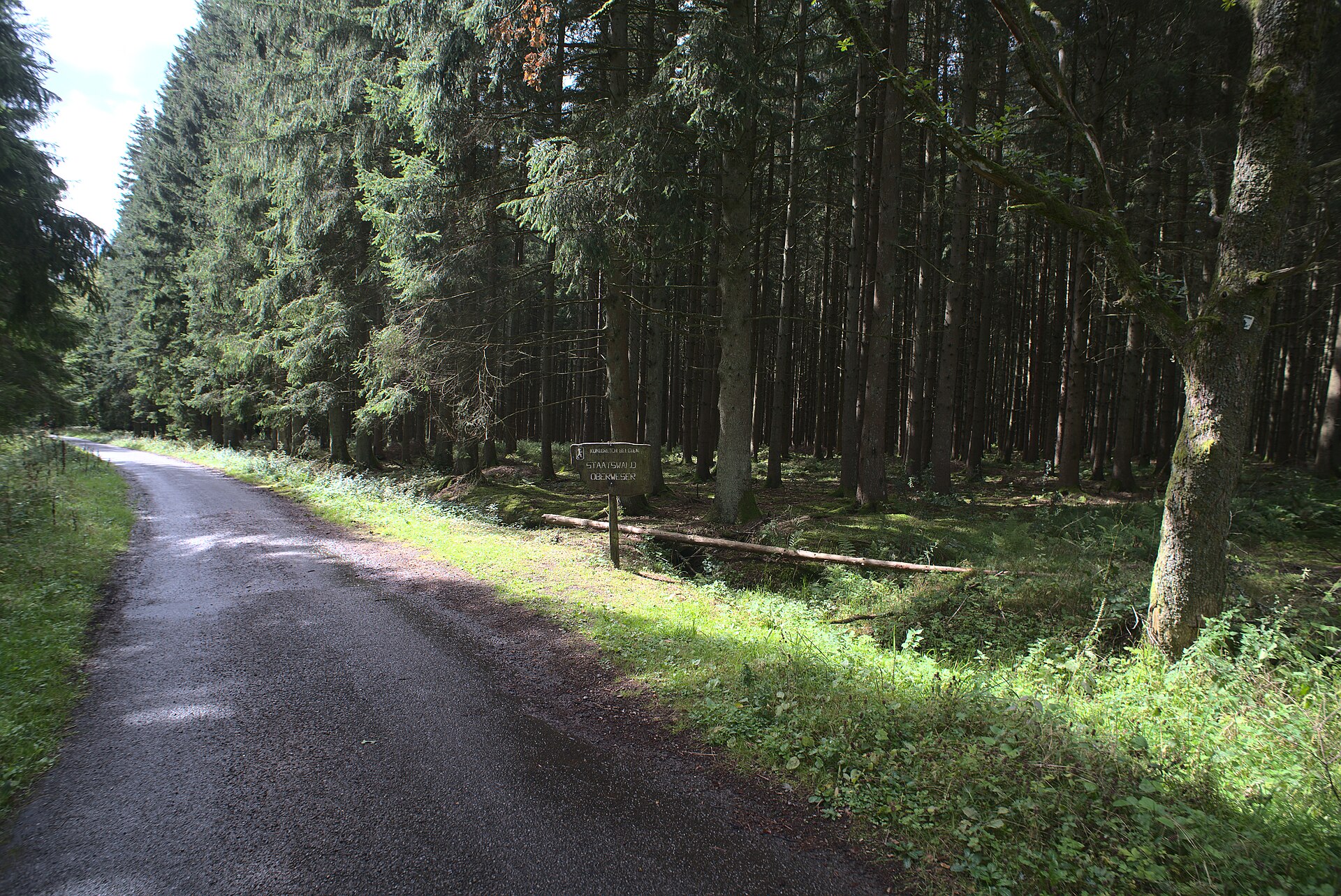
Photo: Flocci Nivis · Wikimedia Commons · CC BY 4.0

Eifelsteig
DEBEThe Eifelsteig is a long-distance hiking trail in the Eifel, Germany. It leads in 15 stages of 14–28 kilometres (8.7–17.4 mi) from the Aachen district Kornelimünster to Trier and is maintained by the Eifel Club.
Stages
| 1 | Aachen → Petergensfeld | 13.8 km | ↗ 374 m |
| 2 | Petergensfeld → Monschau | 17.6 km | ↗ 315 m |
| 3 | Monschau → Hammer | 16.2 km | ↗ 579 m |
| 4 | Hammer → Vogelsang Internationaler Platz (IP) | 21.2 km | ↗ 681 m |
| 5 | Vogelsang Internationaler Platz (IP) → Olef | 14 km | ↗ 417 m |
| 6 | Olef → Urft | 15.2 km | ↗ 458 m |
| 7 | Urft → Blankenheim | 20.4 km | ↗ 309 m |
| 8 | Blankenheim → Alendorf | 13.3 km | ↗ 318 m |
| 9 | Alendorf → Ahütte | 16.6 km | ↗ 222 m |
| 10 | Ahütte → Hillesheim | 14.5 km | ↗ 320 m |
| 11 | Hillesheim → Gerolstein | 20.6 km | ↗ 496 m |
| 12 | Gerolstein → Neroth | 14.5 km | ↗ 439 m |
| 13 | Neroth → Schalkenmehren | 17.4 km | ↗ 574 m |
| 14 | Schalkenmehren → Manderscheid | 15.5 km | ↗ 414 m |
| 15 | Manderscheid → Karl | 13.3 km | ↗ 482 m |
| 16 | Karl → Landscheid | 17.6 km | ↗ 396 m |
| 17 | Landscheid → Greverath | 14.8 km | ↗ 310 m |
| 18 | Greverath → Kordel | 21.3 km | ↗ 396 m |
| 19 | Kordel → Trier | 17.4 km | ↗ 663 m |