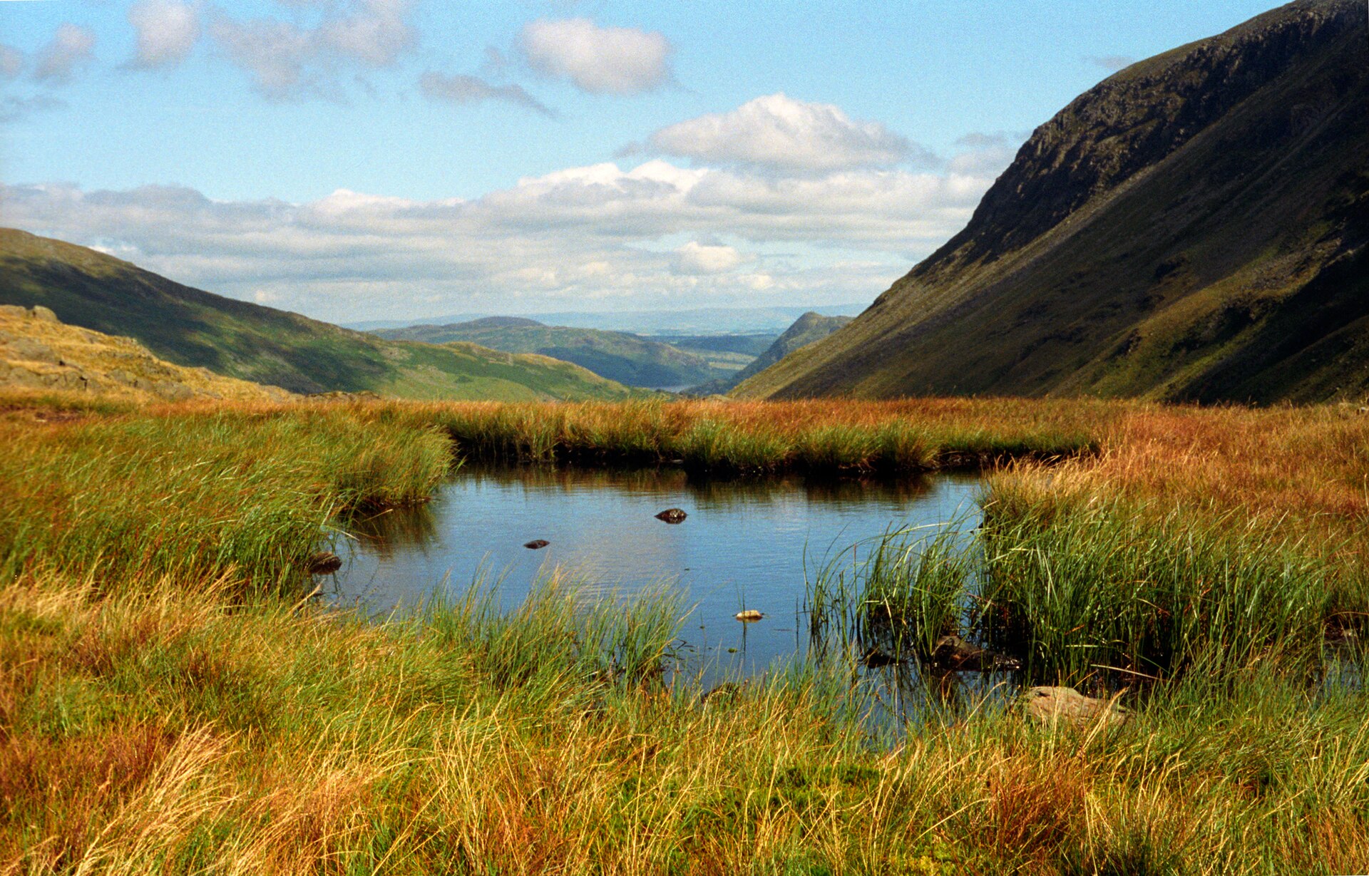
Photo: Amada44 · Wikimedia Commons · CC BY 3.0

Coast to Coast Walk
GBThe Coast to Coast Walk is a long-distance footpath running between the west and east coasts of Northern England, nominally 190 miles (306 km) in length. Devised by Alfred Wainwright, it passes through three contrasting national parks: the Lake District, the Yorkshire Dales, and the North York Moors. The currently measured distance is reported as 182 miles (293 km).
Stages
| 1 | Cumberland → Cleator | 14.6 km | ↗ 371 m |
| 2 | Cleator → Ennerdale Water | 16.4 km | ↗ 438 m |
| 3 | Ennerdale Water → Seatoller | 15.5 km | ↗ 479 m |
| 4 | Seatoller → High Broadrayne | 15.2 km | ↗ 621 m |
| 5 | High Broadrayne → The Knott | 16.3 km | ↗ 1,010 m |
| 6 | The Knott → Shap | 19 km | ↗ 448 m |
| 7 | Shap → Sunbiggin | 14.9 km | ↗ 242 m |
| 8 | Sunbiggin → Kirkby Stephen | 15.7 km | ↗ 198 m |
| 9 | Kirkby Stephen → Keld | 18.3 km | ↗ 516 m |
| 10 | Keld → Reeth | 17.6 km | ↗ 494 m |
| 11 | Reeth → Richmond | 17 km | ↗ 305 m |
| 12 | Richmond → Danby Wiske | 22.2 km | ↗ 60 m |
| 13 | Danby Wiske → Ingleby Arncliffe | 22.1 km | ↗ 74 m |
| 14 | Ingleby Arncliffe → Lordstones Country Park | 13.3 km | ↗ 476 m |
| 15 | Lordstones Country Park → Blakey Ridge | 19.3 km | ↗ 496 m |
| 16 | Blakey Ridge → Grosmont | 20.4 km | ↗ 110 m |
| 17 | Grosmont → North Yorkshire | 24.8 km | ↗ 634 m |