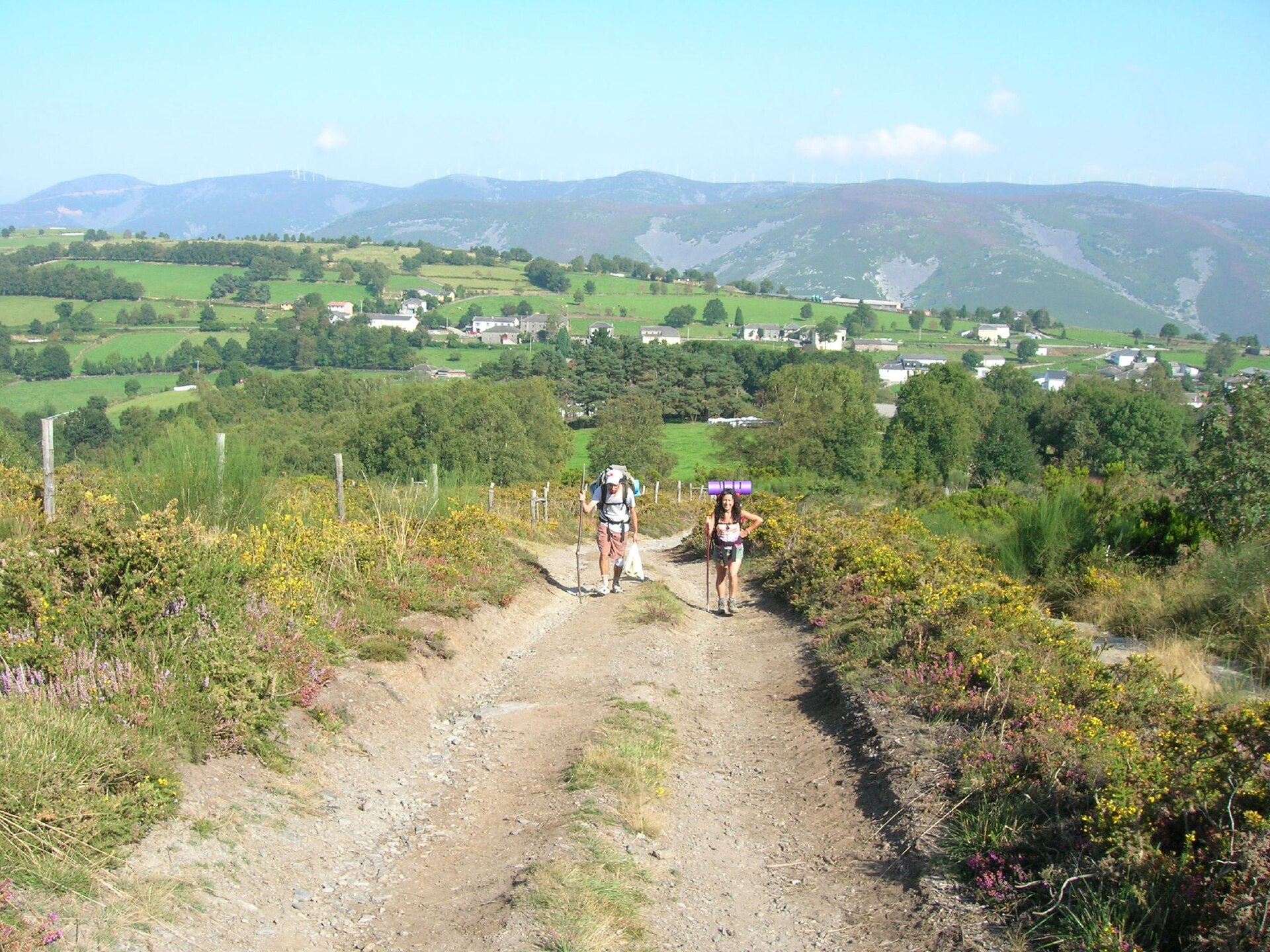
Photo: José Antonio Gil Martínez from Vigo, Spain · Wikimedia Commons · CC BY 2.0

Camino Primitivo
ESThe Primitive Way is one of the paths of the Camino de Santiago. It begins in the old Asturian capital of Oviedo and runs west to Lugo and then south to Santiago de Compostela joining the more popular French Way in Melide for the last two hiking days. According to the Confraternity of St James, the Camino Primitivo is approximately 320 km in length.
Stages
| 1 | Oviedo / Uviéu → Grau / Grado | 26.4 km | ↗ 454 m |
| 2 | Grau / Grado → Salas | 22.3 km | ↗ 676 m |
| 3 | Salas → Tinéu | 20 km | ↗ 744 m |
| 4 | Tinéu → Pola de Allande | 26.8 km | ↗ 863 m |
| 5 | Pola de Allande → A Mesa | 22.2 km | ↗ 986 m |
| 6 | A Mesa → Grandas de Salime | 15.7 km | ↗ 857 m |
| 7 | Grandas de Salime → A Fonsagrada | 25.5 km | ↗ 829 m |
| 8 | A Fonsagrada → O Cádavo | 24.4 km | ↗ 865 m |
| 9 | O Cádavo → Lugo | 30.1 km | ↗ 481 m |
| 10 | Lugo → San Romao da Retorta | 18.4 km | ↗ 308 m |
| 11 | San Romao da Retorta → Melide | 28.5 km | ↗ 537 m |