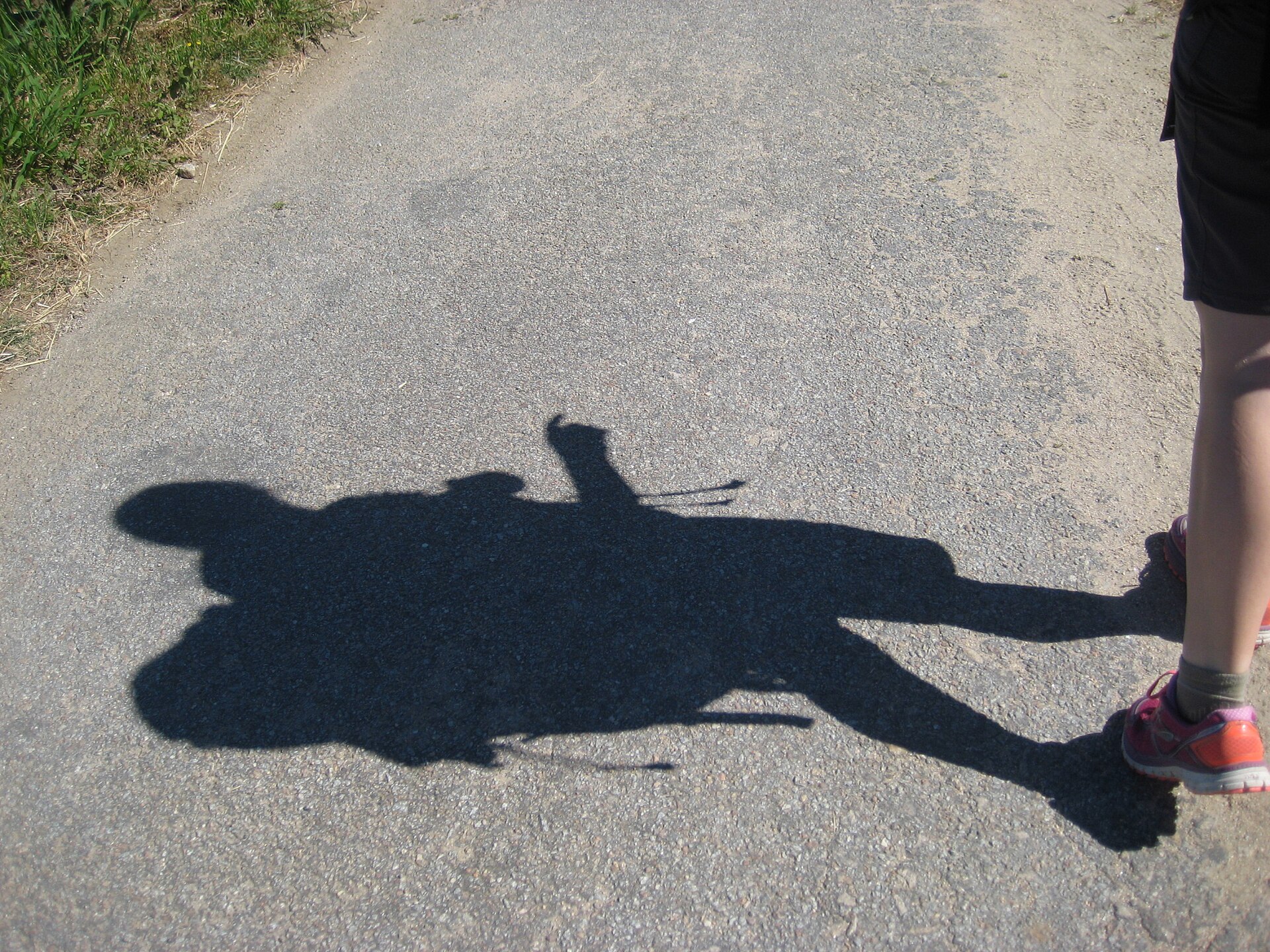
Photo: Viinikkala · Wikimedia Commons · CC BY-SA 4.0

Camino Portugués
PTESThe Portuguese Way is the name of the Camino de Santiago pilgrimage routes starting in Portugal. It begins at Porto or Lisbon. From Porto, along the Douro River, pilgrims travel north crossing the five main rivers—the Ave, Cávado, Neiva, Lima and Minho—before entering Spain and passing through Pontevedra on the way to Santiago de Compostela. The Portuguese Way is 260 km long starting in Porto or 610 km long starting in Lisbon. The way from Porto was historically used by the local populations and by those who arrived in the local ports.
Stages
| 1 | Faro → Loulé | 23.3 km | ↗ 429 m |
| 2 | Loulé → Salir | 19.7 km | ↗ 457 m |
| 3 | Salir → Azinhal dos Mouros | 20.9 km | ↗ 512 m |
| 4 | Azinhal dos Mouros → Almodôvar | 24.2 km | ↗ 308 m |
| 5 | Almodôvar → Rosário | 15.4 km | ↗ 60 m |
| 6 | Rosário → Almeirim | 22.2 km | ↗ 163 m |
| 7 | Almeirim → Messejana | 21.2 km | ↗ 118 m |
| 8 | Messejana → Fornalhas Velhas | 23.4 km | ↗ 116 m |
| 9 | Fornalhas Velhas → São Domingos | 19.7 km | ↗ 67 m |
| 10 | São Domingos → Santiago do Cacém | 24.2 km | ↗ 281 m |
| 11 | Santiago do Cacém → Roncão | 22 km | ↗ 349 m |
| 12 | Roncão → Grândola | 23.6 km | ↗ 268 m |
| 13 | Grândola → Alcácer do Sal | 17.1 km | ↗ 67 m |
| 14 | Grândola → Alcácer do Sal | 16.5 km | ↗ 73 m |
| 15 | Alcácer do Sal → Casebres | 21.8 km | ↗ 127 m |
| 16 | Casebres → Vendas Novas | 22.3 km | ↗ 213 m |
| 17 | Vendas Novas → Branca | 24.4 km | ↗ 146 m |
| 18 | Branca → Santo Estêvão | 26.3 km | ↗ 72 m |
| 19 | Santo Estêvão → Benavente | 26.1 km | ↗ 42 m |
| 20 | Benavente → Muge | 18.5 km | ↗ 17 m |
| 21 | Lisboa → Granja | 21.2 km | ↗ 59 m |
| 22 | Granja → Vila Franca de Xira | 20 km | ↗ 66 m |
| 23 | Vila Franca de Xira → Azambuja | 20 km | ↗ 29 m |
| 24 | Azambuja → Muge | 19.2 km | ↗ 6 m |
| 25 | Muge → Santarém | 20.1 km | ↗ 44 m |
| 26 | Santarém → Golegã | 30.2 km | ↗ 76 m |
| 27 | Golegã → Tomar | 30.2 km | ↗ 273 m |
| 28 | Tomar → Fonte da Laje | 18.1 km | ↗ 338 m |
| 29 | Fonte da Laje → Alvaiázere | 14.7 km | ↗ 210 m |
| 30 | Alvaiázere → Alvorge | 23 km | ↗ 412 m |
| 31 | Alvorge → Cernache | 25.2 km | ↗ 235 m |
| 32 | Cernache → Coimbra | 12 km | ↗ 195 m |
| 33 | Coimbra → Barcouço | 12.7 km | ↗ 133 m |
| 34 | Barcouço → Sernadelo | 12.1 km | ↗ 45 m |
| 35 | Sernadelo → Águeda | 24.1 km | ↗ 171 m |
| 36 | Águeda → Albergaria-a-Velha | 15.6 km | ↗ 191 m |
| 37 | Albergaria-a-Velha → São João da Madeira | 29.5 km | ↗ 467 m |
| 38 | São João da Madeira → Grijó | 19 km | ↗ 191 m |
| 39 | Grijó → Porto | 15.3 km | ↗ 234 m |
| 40 | Porto → Vilarinho | 26.9 km | ↗ 242 m |
| 41 | Vilarinho → Barcelos | 27 km | ↗ 360 m |
| 42 | Barcelos → Balugães | 15.8 km | ↗ 254 m |
| 43 | Balugães → Ponte de Lima | 17.9 km | ↗ 164 m |
| 44 | Ponte de Lima → Rubiães | 17.9 km | ↗ 501 m |
| 45 | Rubiães → Tui | 20.5 km | ↗ 248 m |
| 46 | Tui → O Porriño | 17.3 km | ↗ 137 m |
| 47 | O Porriño → Redondela | 15.9 km | ↗ 234 m |
| 48 | Redondela → Pontevedra | 20.4 km | ↗ 363 m |
| 49 | Pontevedra → Caldas de Reis | 21.1 km | ↗ 168 m |
| 50 | Caldas de Reis → Padrón | 18.9 km | ↗ 232 m |
| 51 | Padrón → Santiago de Compostela | 25.2 km | ↗ 440 m |