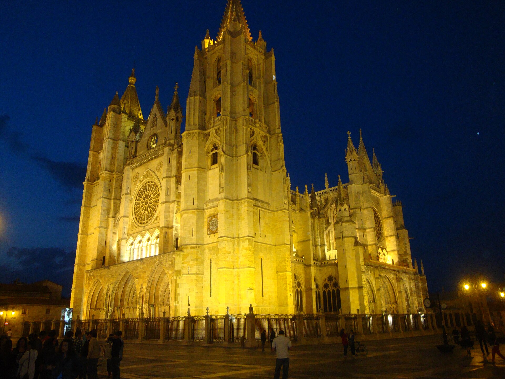
Photo: Frobles · Wikimedia Commons · CC BY-SA 4.0

Camino Francés
FRESThe French Way follows the GR 65 and is the most popular of the routes of the Way of St. James, the ancient pilgrimage route to Santiago de Compostela in Galicia, Spain. It runs from Saint-Jean-Pied-de-Port on the French side of the Pyrenees to Roncesvalles on the Spanish side and then another 780 kilometres on to Santiago de Compostela through the major cities of Pamplona, Logroño, Burgos and León. A typical walk on the Camino francés takes at least four weeks, allowing for one or two rest days on the way.
Stages
| 1 | Saint-Jean-Pied-de-Port → Roncesvalles | 24.1 km | ↗ 1,467 m |
| 2 | Roncesvalles → Zubiri | 21.3 km | ↗ 414 m |
| 3 | Zubiri → Pamplona | 20.4 km | ↗ 253 m |
| 4 | Pamplona → Puente la Reina | 24.3 km | ↗ 424 m |
| 5 | Puente la Reina → Estella | 21.6 km | ↗ 402 m |
| 6 | Estella → Los Arcos | 21.2 km | ↗ 387 m |
| 7 | Los Arcos → Logroño | 27.7 km | ↗ 394 m |
| 8 | Logroño → Nájera | 29 km | ↗ 388 m |
| 9 | Nájera → Santo Domingo de la Calzada | 21.1 km | ↗ 319 m |
| 10 | Santo Domingo de la Calzada → Belorado | 22.6 km | ↗ 298 m |
| 11 | Belorado → San Juan de Ortega | 23.4 km | ↗ 447 m |
| 12 | San Juan de Ortega → Burgos | 25.5 km | ↗ 145 m |
| 13 | Burgos → Hornillos del Camino | 21.3 km | ↗ 145 m |
| 14 | Hornillos del Camino → Castrojeriz | 19.9 km | ↗ 208 m |
| 15 | Castrojeriz → Frómista | 24.6 km | ↗ 203 m |
| 16 | Frómista → Carrión de los Condes | 19.6 km | ↗ 87 m |
| 17 | Carrión de los Condes → Terradillos de los Templarios | 25.7 km | ↗ 101 m |
| 18 | Terradillos de los Templarios → Bercianos del Real Camino | 23.7 km | ↗ 125 m |
| 19 | Bercianos del Real Camino → Mansilla de las Mulas | 26.3 km | ↗ 32 m |
| 20 | Mansilla de las Mulas → León | 18.8 km | ↗ 126 m |
| 21 | León → San Martín del Camino | 25.2 km | ↗ 135 m |
| 22 | San Martín del Camino → Astorga | 22.9 km | ↗ 134 m |
| 23 | Astorga → Foncebadón | 25.7 km | ↗ 586 m |
| 24 | Foncebadón → Ponferrada | 27.1 km | ↗ 299 m |
| 25 | Ponferrada → Villafranca del Bierzo | 23.3 km | ↗ 238 m |
| 26 | Villafranca del Bierzo → O Cebreiro | 28 km | ↗ 1,229 m |
| 27 | O Cebreiro → Triacastela | 20.9 km | ↗ 406 m |
| 28 | Triacastela → Sarria | 17.8 km | ↗ 357 m |
| 29 | Sarria → Portomarín | 22.2 km | ↗ 486 m |
| 30 | Portomarín → Palas de Rei | 25 km | ↗ 535 m |
| 31 | Palas de Rei → Melide | 14.4 km | ↗ 223 m |
| 32 | Melide → Arzúa | 14.4 km | ↗ 271 m |
| 33 | Arzúa → O Pedrouzo | 19.3 km | ↗ 308 m |
| 34 | O Pedrouzo → Santiago de Compostela | 19.4 km | ↗ 325 m |