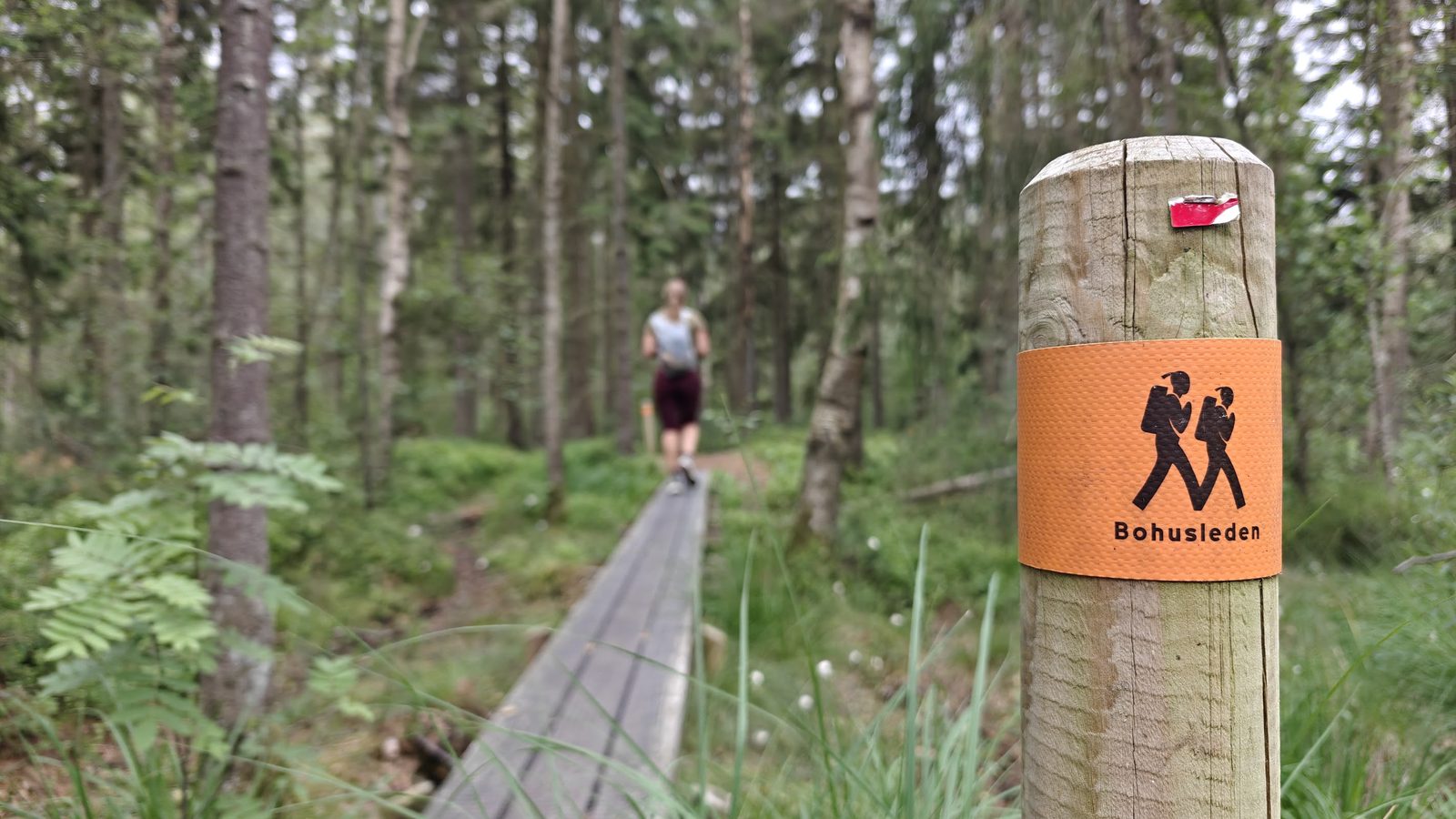
Photo: Mark & Malou · Wikimedia Commons
Bohusleden
SEThe Bohusleden is a hiking trail in the Swedish region of Bohuslän. It winds for 340 kilometres from Lindome near Göteborg to Strömstad. The hiking trail passes by Kungälv, Romelanda, Grandalen and Svartedalen. For hikers, free campsites and, at regular intervals, 36 shelters, which are cabins open on one side for 2 to 8 people, known as vindskydd ('windbreaks'), have been set up along the trail. The Bohusleden is signposted in both directions with orange trail markers.
Stages
| 1 | Älvsåker → Stensjön | 25.5 km | ↗ 365 m |
| 2 | Stensjön → Skatås | 8.6 km | ↗ 138 m |
| 3 | Skatås → Kåsjön | 9.8 km | ↗ 181 m |
| 4 | Kåsjön → Jonsered | 7.6 km | ↗ 64 m |
| 5 | Jonsered → Angereds kyrka | 11.4 km | ↗ 249 m |
| 6 | Angereds kyrka → Fontin | 17.8 km | ↗ 238 m |
| 7 | Fontin → Grandalen | 16.3 km | ↗ 259 m |
| 8 | Grandalen → Bottenstugan | 8 km | ↗ 102 m |
| 9 | Bottenstugan → Lysevatten | 12.3 km | ↗ 247 m |
| 10 | Lysevatten → Hasteröd | 12.6 km | ↗ 216 m |
| 11 | Hasteröd → Vassbovik | 21.5 km | ↗ 310 m |
| 12 | Vassbovik → Glimmingen | 12.1 km | ↗ 115 m |
| 13 | Glimmingen → Bjursjön | 12.2 km | ↗ 191 m |
| 14 | Bjursjön → Metsjö | 13.2 km | ↗ 131 m |
| 15 | Metsjö → Kaserna | 16.6 km | ↗ 258 m |
| 16 | Kaserna → Örekilsälven | 6.1 km | ↗ 126 m |
| 17 | Örekilsälven → Kyrkoryr | 11.3 km | ↗ 233 m |
| 18 | Kyrkoryr → Kynnefjälls natur | 9.9 km | ↗ 158 m |
| 19 | Kynnefjälls natur → Vaktarekullen | 16.3 km | ↗ 184 m |
| 20 | Vaktarekullen → Flötemarksön | 12.6 km | ↗ 98 m |
| 21 | Flötemarksön → Tanums kommun | 4.5 km | ↗ 55 m |
| 22 | Porsås → Nornäs | 7.1 km | ↗ 98 m |
| 23 | Nornäs → Vassbotten | 13.8 km | ↗ 173 m |
| 24 | Vassbotten → Håvedalen | 20 km | ↗ 324 m |
| 25 | Håvedalen → Krokstrand | 10.4 km | ↗ 231 m |
| 26 | Krokstrand → Högstad | 13.5 km | ↗ 185 m |
| 27 | Högstad → Strömstad | 15.1 km | ↗ 220 m |