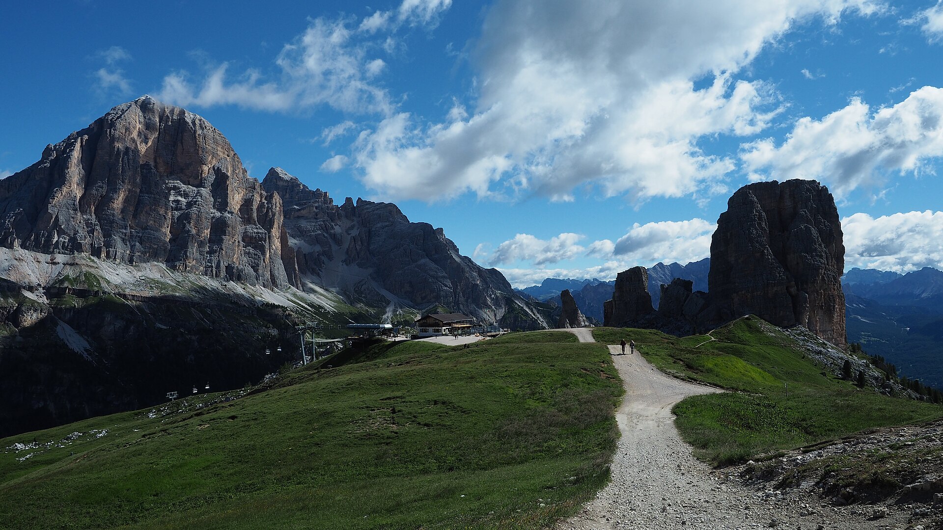
Photo: Ka23 13 · Wikimedia Commons · CC BY-SA 4.0

Alta Via 1
ITAlta Via 1 is a 125-kilometre-long high-level public footpath which runs through the eastern Dolomites in Italy. It is also known as the Dolomite High Route 1. It passes through some of the finest scenery in the Dolomites. The path runs south from Pragser Wildsee, near Toblach, to Belluno. Prags can be accessed by bus, and Belluno has both train and bus services.
Stages
| 1 | Prags - Braies → Sennes Hütte | 9.2 km | ↗ 980 m |
| 2 | Sennes Hütte → Rifugio Fanes | 10 km | ↗ 635 m |
| 3 | Rifugio Fanes → Parco Naturale Regionale delle Dolomiti d’Ampezzo | 9.8 km | ↗ 724 m |
| 4 | Parco Naturale Regionale delle Dolomiti d’Ampezzo → Rifugio Nuvolau | 9.1 km | ↗ 728 m |
| 5 | Rifugio Nuvolau → Rifugio Passo Staulanza | 16.1 km | ↗ 513 m |
| 6 | Rifugio Passo Staulanza → Rifugio Mario Vazzoler | 15.5 km | ↗ 877 m |
| 7 | Rifugio Mario Vazzoler → Rifugio Bruto Carestiato | 9.1 km | ↗ 666 m |
| 8 | Rifugio Bruto Carestiato → Malga Moschesin | 9.3 km | ↗ 454 m |
| 9 | Malga Moschesin → Cime Del Bachet | 8.9 km | ↗ 781 m |
| 10 | Cime Del Bachet → Rifugio 7° Alpini | 8.1 km | ↗ 1,160 m |
| 11 | Rifugio 7° Alpini → Belluno | 12.8 km | ↗ 480 m |