The days
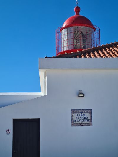
Day 1 · February 1
The beginning at the end of the world
Farol do Cabo de São Vicente → Sagres · 8.6 km · ↗ 85 m
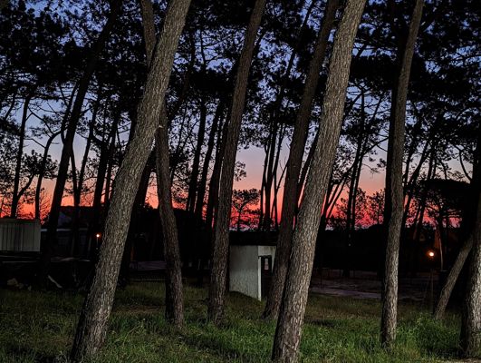
Day 2 · February 2
Cliffs, waves and the first blisters
Sagres → Salema · 20.6 km · ↗ 478 m
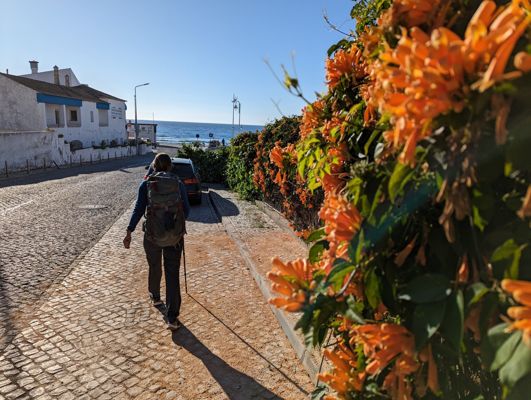
Day 3 · February 3
Lopen Langs Lagos
Salema → Lagos · 21.1 km · ↗ 571 m
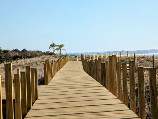
Day 4 · February 4
Through dunes and across estuaries
Lagos → Alvor · 21.3 km · ↗ 89 m
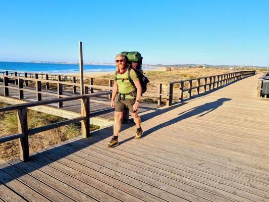
Day 6 · February 6
By boat across the river
Alvor → Ferragudo · 19.8 km · ↗ 166 m
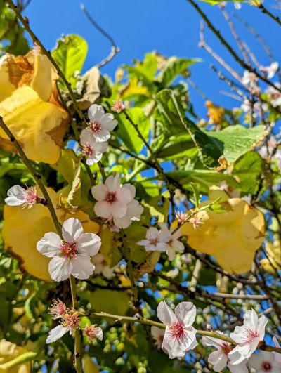
Day 7 · February 7
Red rocks and hidden beaches
Ferragudo → Armação de Pêra · 23.1 km · ↗ 508 m
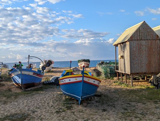
Day 8 · February 8
The Fisherman's Trail at its finest
Armação de Pêra → Albufeira · 14.8 km · ↗ 166 m
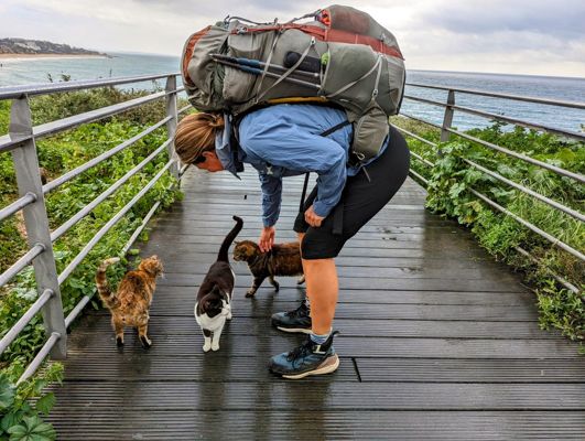
Day 9 · February 9
The Fisherman's Trail at its finest
Albufeira → Olhos de Água · 14.4 km · ↗ 216 m
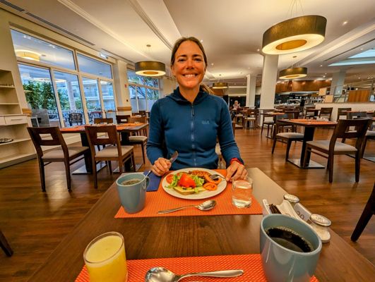
Day 11 · February 11
Farewell to the cliffs
Olhos de Água → Ponte de Baixo · 22.7 km · ↗ 130 m
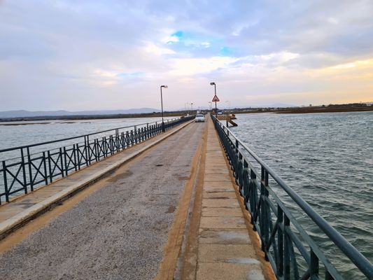
Day 12 · February 12
The Ria Formosa and her flamingos
Ponte de Baixo → Olhão · 24.1 km · ↗ 78 m
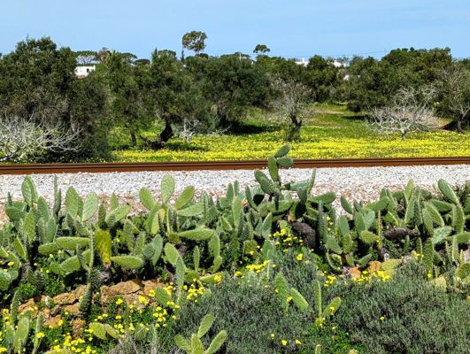
Day 13 · February 13
Salt pans and barrier islands
Olhão → Fuseta · 8.3 km · ↗ 11 m
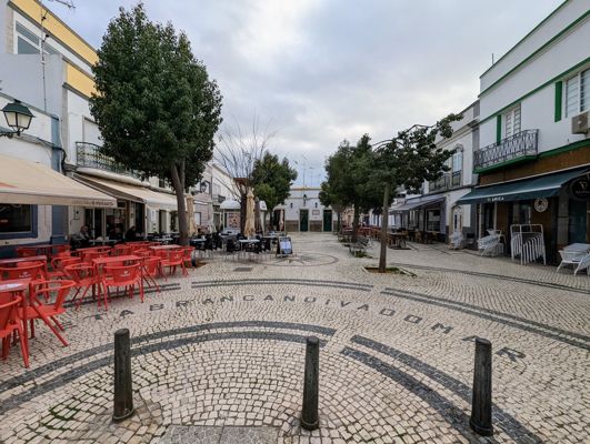
Day 14 · February 14
Eastern Algarve in spring
Fuseta → Conceição · 25.3 km · ↗ 111 m
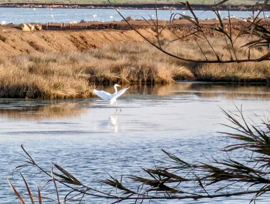
Day 16 · February 16
Endless beaches toward Spain
Conceição → Monte Gordo · 18.3 km · ↗ 21 m
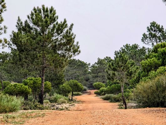
Day 19 · February 19
By ferry across the border
Monte Gordo → Ayamonte · 25.3 km · ↗ 400 m
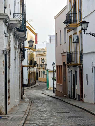
Day 20 · February 20
By ferry across the border
Ayamonte → Lepe · 22.9 km · ↗ 67 m
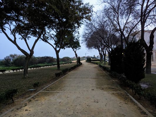
Day 21 · February 21
Welcome to Spain
Lepe → Huelva · 37.6 km · ↗ 84 m
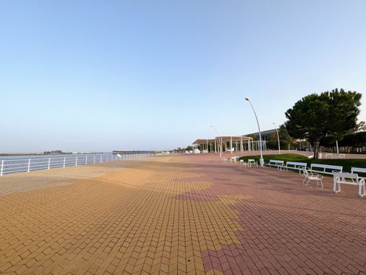
Day 22 · February 22
Through the pine forests of Huelva
Huelva → Mazagón · 33.1 km · ↗ 88 m
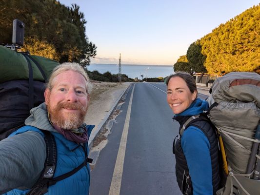
Day 25 · February 25
On the edge of Doñana
Mazagón → Matalascañas · 27.5 km · ↗ 108 m
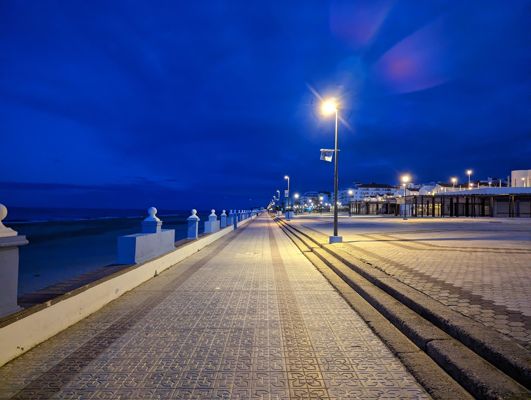
Day 26 · February 26
The endless boardwalks of Doñana
Matalascañas → Sanlúcar de Barrameda · 33.5 km · ↗ 250 m
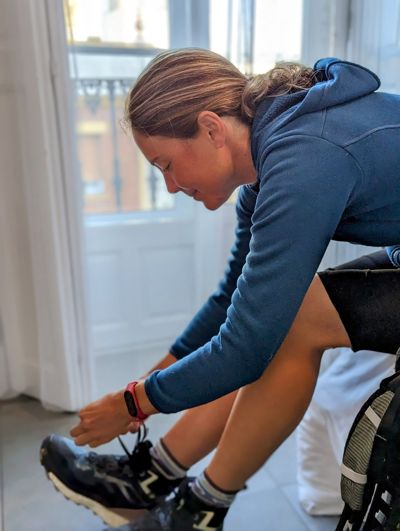
Day 27 · February 27
Along the beach by the Guadalquivir
Sanlúcar de Barrameda → Playa de la Ballena · 17.4 km · ↗ 68 m
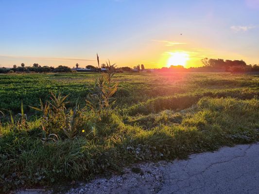
Day 28 · February 28
Coast, wind and Atlantic waves
Playa de la Ballena → El Puerto de Santa María · 23.5 km · ↗ 214 m
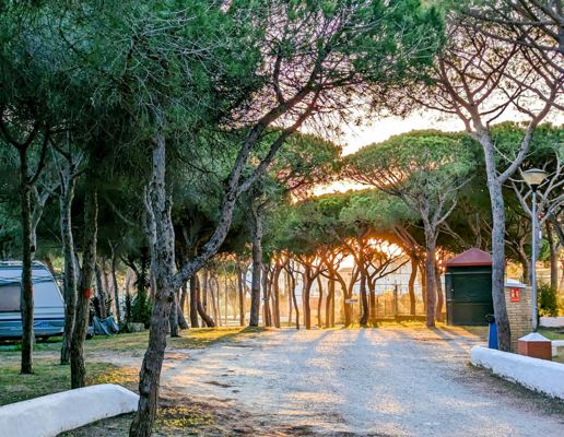
Day 32 · March 4
The Bay of Cádiz
El Puerto de Santa María → San Fernando · 26.3 km · ↗ 101 m
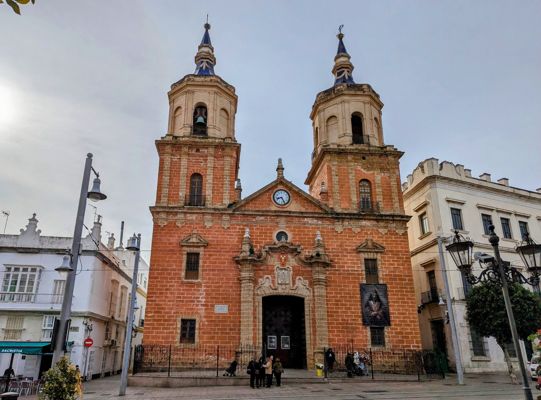
Day 33 · March 5
Through the salt pans
San Fernando → Chiclana de la Frontera · 13.8 km · ↗ 41 m
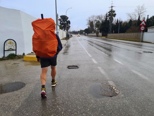
Day 34 · March 6
Endless beach
Chiclana de la Frontera → Playa de El Palmar · 27.5 km · ↗ 149 m
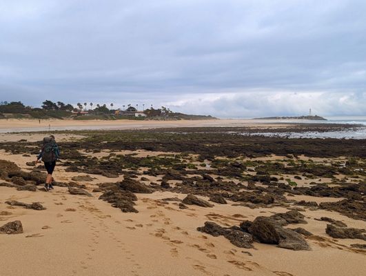
Day 37 · March 9
Along the cliffs of Caños de Meca
Playa de El Palmar → Barbate · 24.7 km · ↗ 2190 m
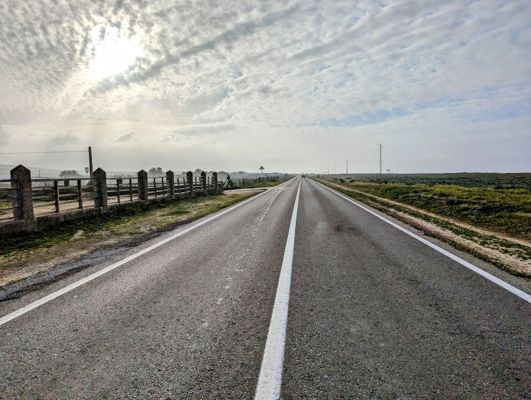
Day 38 · March 10
Roman ruins by the beach
Barbate → Bolonia · 19.4 km · ↗ 207 m
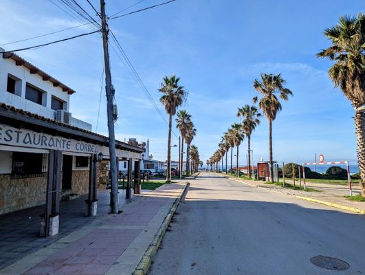
Day 39 · March 11
The southernmost point of Europe
Bolonia → Camping La Peña · 12.5 km · ↗ 120 m
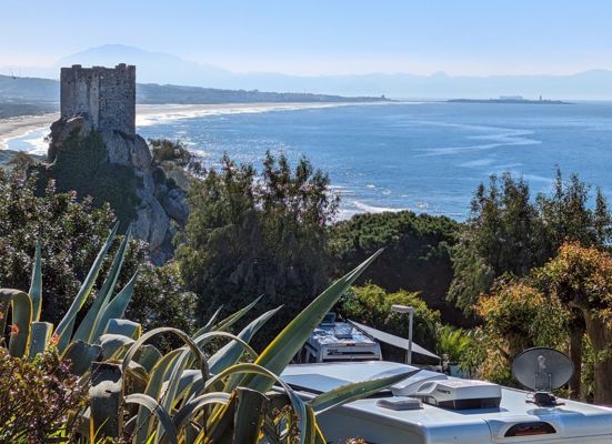
Day 40 · March 12
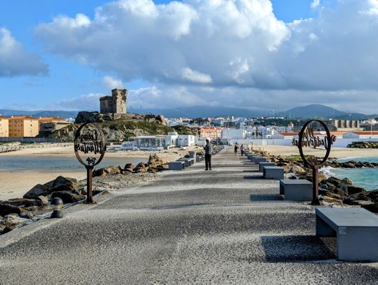
The southernmost point of Europe
Camping La Peña → Tarifa · 7.8 km
Day 48 · March 20
With Africa on the horizon
Tarifa → El Cuartón · 19.8 km · ↗ 675 m
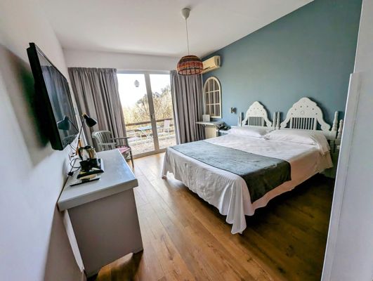
Day 49 · March 21
Through the cork oak forests
El Cuartón → Los Barrios · 23.9 km · ↗ 374 m
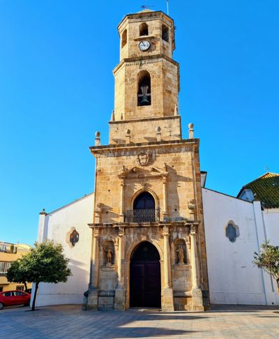
Day 51 · March 23
Sleeping in a castle
Los Barrios → Castillo de Castellar · 25.9 km · ↗ 641 m
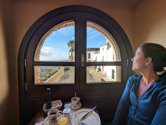
Day 52 · March 24
White villages in green hills
Castillo de Castellar → Jimena de la Frontera · 22.9 km · ↗ 182 m
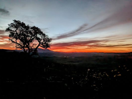
Day 55 · March 27
The longest day so far
Jimena de la Frontera → Ubrique · 37.7 km · ↗ 1254 m
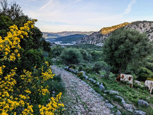
Day 57 · March 29
On Roman roads to the hidden plateau
Ubrique → Montejaque · 26.7 km · ↗ 982 m
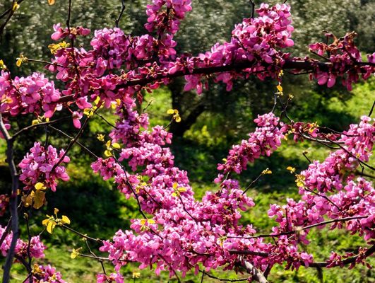
Day 58 · March 30
The famous gorge of Ronda
Montejaque → Ronda · 11.8 km · ↗ 416 m
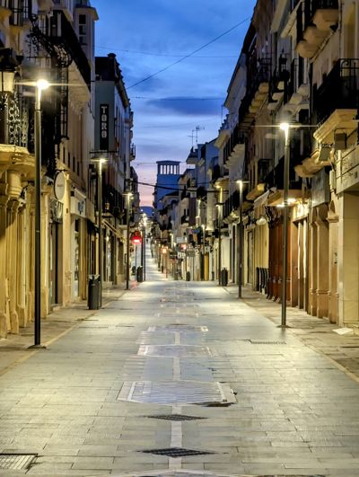
Day 59 · March 31
A patchwork of fields and olive groves
Ronda → Olvera · 28.2 km · ↗ 612 m
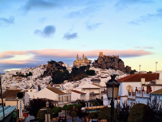
Day 61 · April 2
The railway where no train ever ran
Olvera → Coripe · 25.8 km · ↗ 111 m
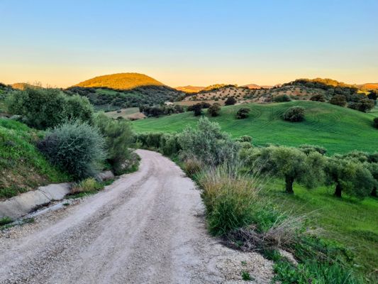
Day 62 · April 3
From hill country to endless plain
Coripe → El Coronil · 29.7 km · ↗ 428 m
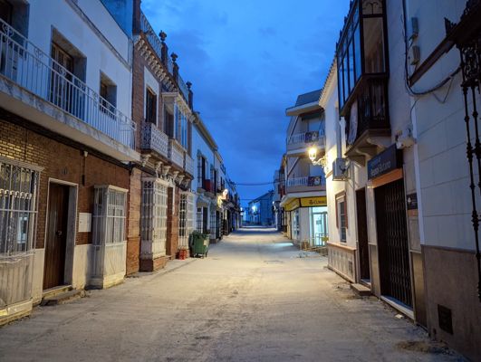
Day 63 · April 4
Sunflower fields and solar panels
El Coronil → Utrera · 20.7 km · ↗ 99 m
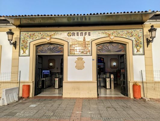
Day 68 · April 9
Easter Sunday at the Plaza de España
Utrera → Sevilla · 36.4 km · ↗ 141 m
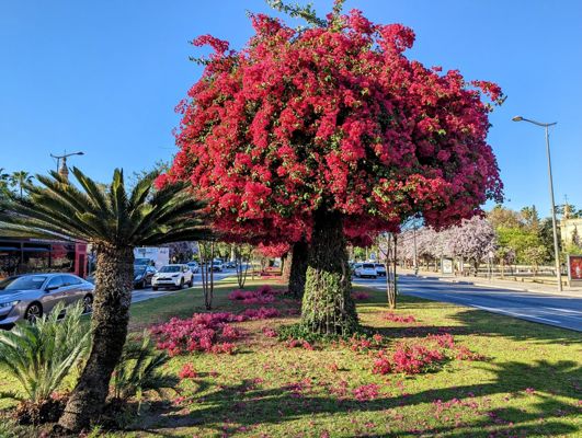
Day 71 · April 12
The amphitheatre of Italica
Sevilla → Guillena · 24.3 km · ↗ 99 m
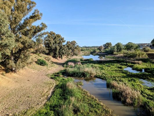
Day 72 · April 13
The shortest stage, the friendliest villages
Guillena → Castilblanco de los Arroyos · 18.0 km · ↗ 429 m
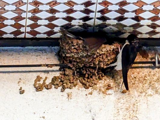
Day 73 · April 14
Seventeen kilometres of asphalt, then: Sierra Morena
Castilblanco de los Arroyos → Almadén de la Plata · 30.2 km · ↗ 541 m
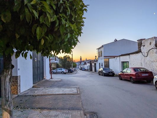
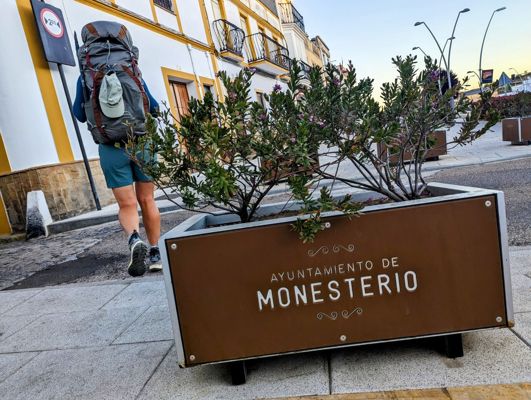
Day 74 · April 15
The border of Extremadura
Almadén de la Plata → Monesterio · 34.7 km · ↗ 687 m
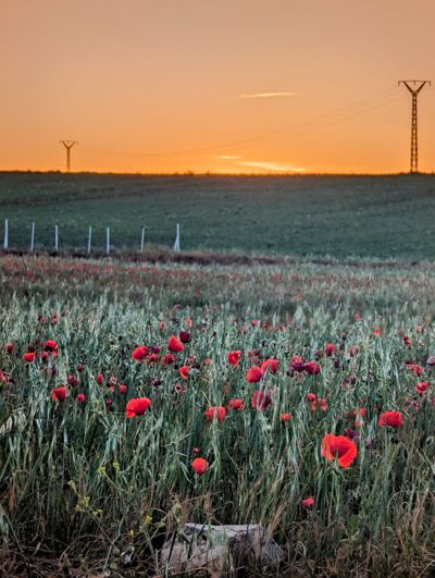
Day 76 · April 17
A shepherd, his dog and nine sheep
Monesterio → Fuente de Cantos · 22.5 km · ↗ 187 m
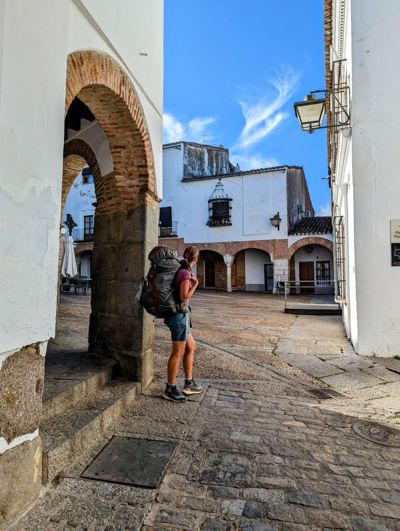
Day 77 · April 18
One year on the road
Fuente de Cantos → Zafra · 26.0 km · ↗ 134 m
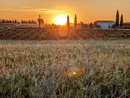
Day 78 · April 19
Over the Sierra de los Olivos
Zafra → Villafranca de los Barros · 21.0 km · ↗ 214 m
Day 79 · April 20
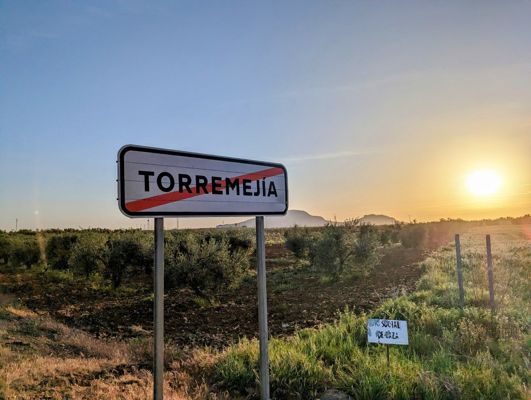
The land of wine
Villafranca de los Barros → Torremejía · 27.2 km · ↗ 57 m
Day 80 · April 21
The Roman bridge over the Guadiana
Torremejia → Mérida · 15.7 km · ↗ 68 m
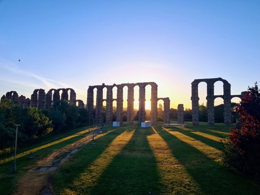
Day 82 · April 23
The reservoir the Romans built
Mérida → Aljucén · 17.4 km · ↗ 185 m
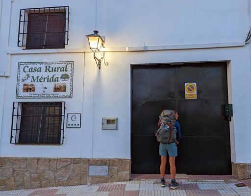
Day 83 · April 24
Lavender like in Provence
Aljucén → Aldea del Cano · 34.5 km · ↗ 264 m
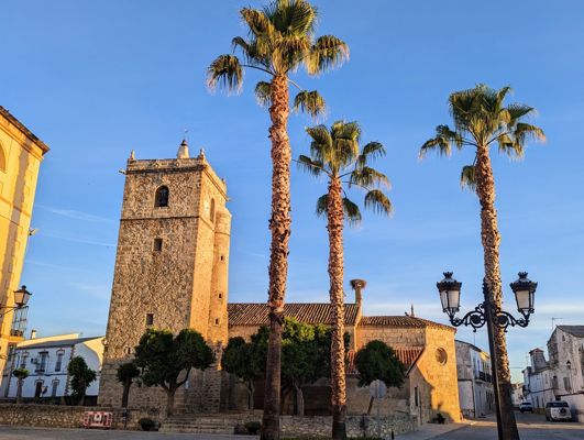
Day 84 · April 25
Vultures at eye level
Aldea del Cano → Cáceres · 23.8 km · ↗ 196 m
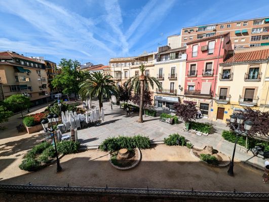
Day 86 · April 27
Taking stock after fifty stages
Cáceres → Casar de Cáceres · 11.6 km · ↗ 145 m
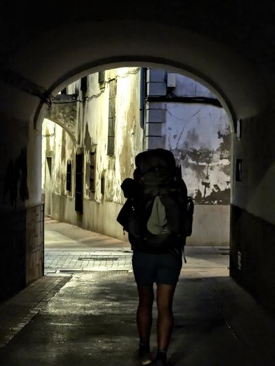
Day 87 · April 28
Eight litres of water and no shade
Casar de Cáceres → Cañaveral · 33.1 km · ↗ 376 m
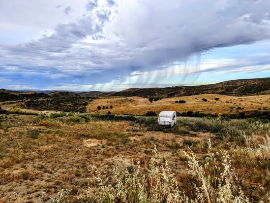
Day 88 · April 29
The day of the spoonwings and the shrike
Cañaveral → Ríolobos · 22.4 km · ↗ 336 m
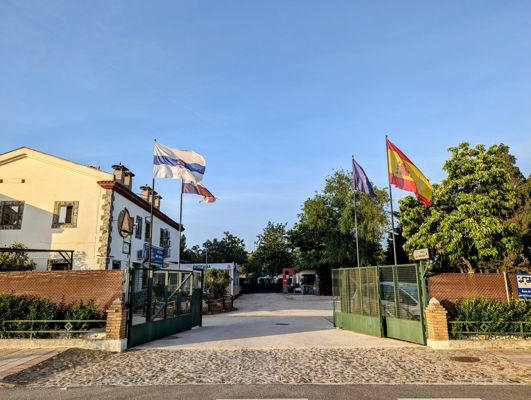
Day 91 · May 2
Dancing in the retirement home
Ríolobos → Carcaboso · 22.2 km · ↗ 219 m
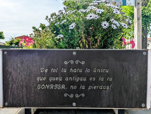
Day 92 · May 3
Birthday at the Roman arch
Carcaboso → Arco Tetrápilo · 19.4 km · ↗ 257 m
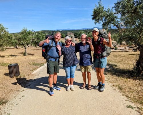
Day 96 · May 7
Saying goodbye to family
Arco Tetrápilo → Las Cañadas · 26.1 km · ↗ 367 m
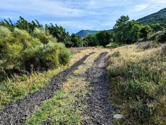
Day 97 · May 8
A new region, a greener land
Las Cañadas → La Calzada de Béjar · 17.8 km · ↗ 442 m
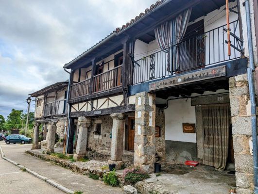
Day 98 · May 9
The endless meseta
La Calzada de Béjar → Fuenterroble de Salvatierra · 21.0 km · ↗ 333 m
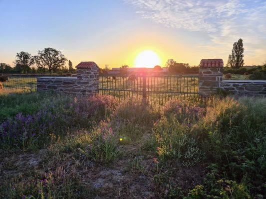
Day 99 · May 10
New shoes and a windmill summit
Fuenterroble de Salvatierra → Morille · 32.4 km · ↗ 415 m
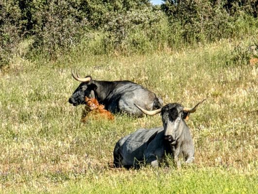
Day 100 · May 11
The golden city
Morille → Salamanca · 21.0 km · ↗ 263 m
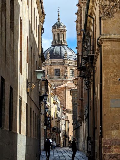
Day 102 · May 13
Farewell to Salamanca
Salamanca → Camping Ruta de la Plata · 4.9 km · ↗ 91 m
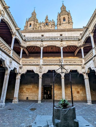
Day 103 · May 14
Farewell to Salamanca
Camping Ruta de la Plata → El Cubo de Tierra del Vino · 31.5 km · ↗ 228 m
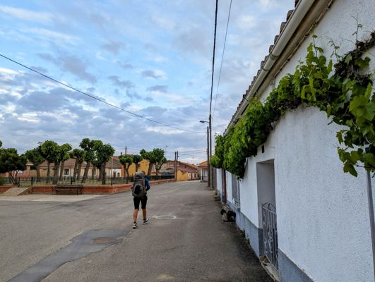
Day 104 · May 15
The end of the Via de la Plata
El Cubo de Tierra del Vino → Zamora · 33.3 km · ↗ 160 m
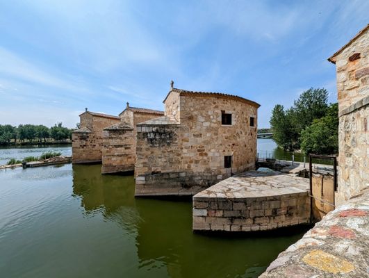
Day 111 · May 22
Back on the trail after the flu
Zamora → Toro · 34.6 km · ↗ 240 m
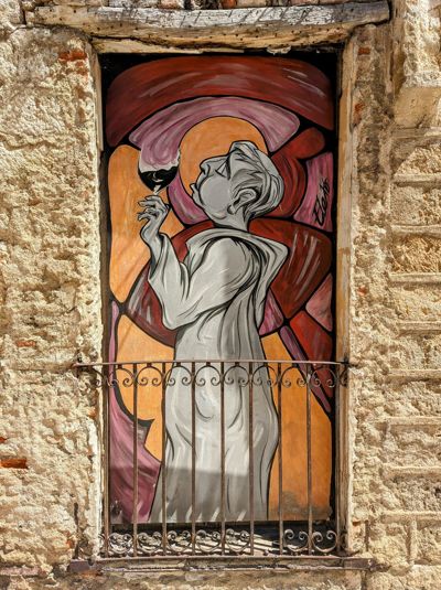
Day 113 · May 24
The wine church of Toro
Toro → Castronuño · 22.3 km · ↗ 171 m
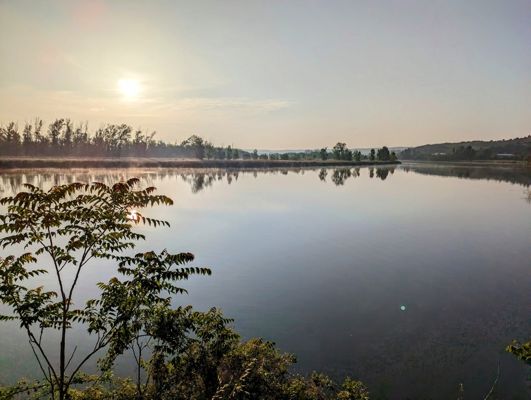
Day 114 · May 25
The meander of the Douro
Castronuño → Tordesillas · 32.6 km · ↗ 156 m
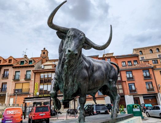
Day 116 · May 27
Where the world was divided
Tordesillas → Simancas · 26.5 km · ↗ 156 m
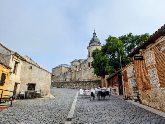
Day 117 · May 28
Through Spain's Veluwe pine forests
Simancas → Valladolid · 16.3 km · ↗ 174 m
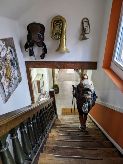
Day 119 · May 30
The route of Charles V
Valladolid → Granja Muedra · 24.2 km · ↗ 89 m
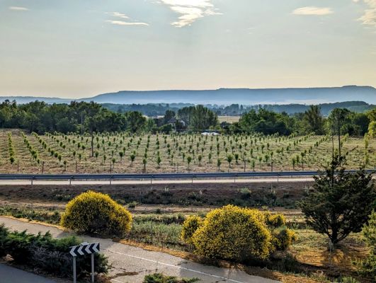
Day 121 · June 1
The land of the rabbits
Granja Muedra → Magaz de Pisuerga · 28.5 km · ↗ 175 m
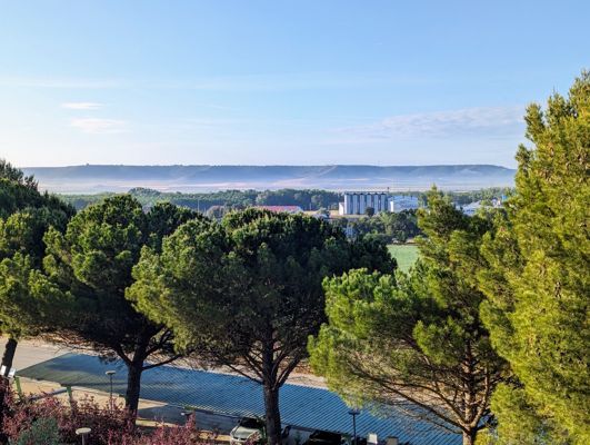
Day 122 · June 2
Dodging the thunderstorm
Magaz de Pisuerga → Quintana del Puente · 28.0 km · ↗ 111 m
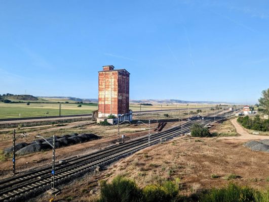
Day 123 · June 3
A kindred spirit on the trail
Quintana del Puente → Villodrigo · 18.2 km · ↗ 166 m
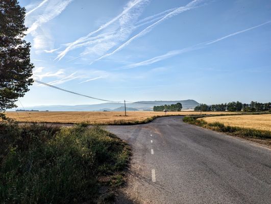
Day 124 · June 4
Five vultures in the morning mist
Villodrigo → Estépar · 26.1 km · ↗ 86 m
Day 125 · June 5
The Gothic cathedral of Burgos
Estépar → Burgos · 20.9 km · ↗ 228 m
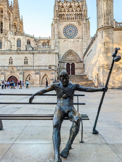
Day 127 · June 7
The Basque Camino
Burgos → Monasterio de Rodilla · 30.1 km · ↗ 267 m
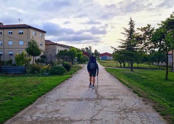
Day 129 · June 9
The bread van on the village square
Monasterio de Rodilla → Briviesca · 17.7 km · ↗ 254 m
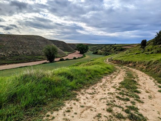
Day 130 · June 10
Fox cubs and a barking deer
Briviesca → Pancorbo · 28.9 km · ↗ 327 m
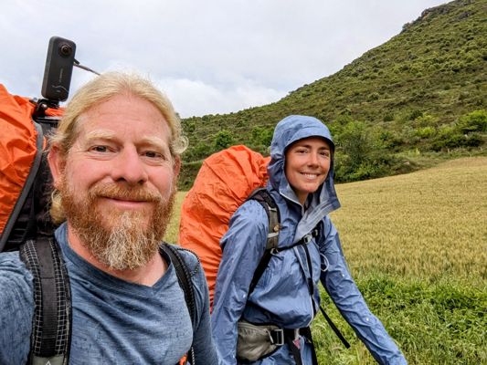
Day 131 · June 11
Crossing the Ebro in the rain
Pancorbo → Miranda de Ebro · 16.4 km · ↗ 177 m
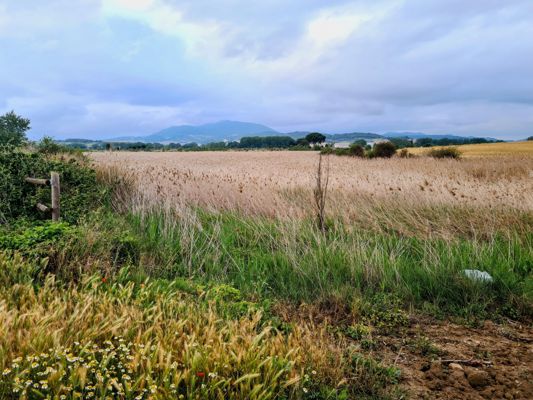
Day 134 · June 14
A 6,500-year-old dolmen
Miranda de Ebro → La Puebla de Arganzón · 17.8 km · ↗ 172 m
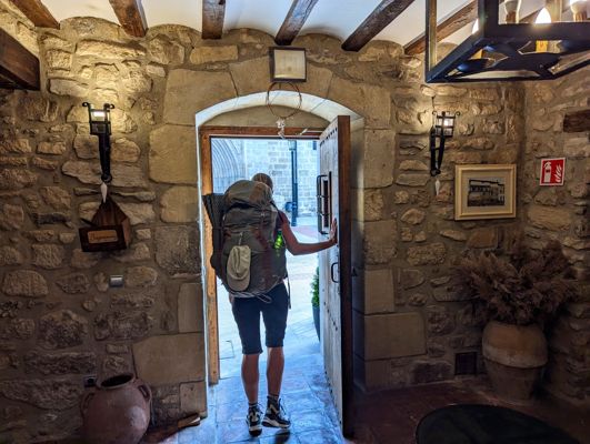
Day 135 · June 15
The border of the Basque Country
La Puebla de Arganzón → Gometxa · 14.6 km · ↗ 411 m
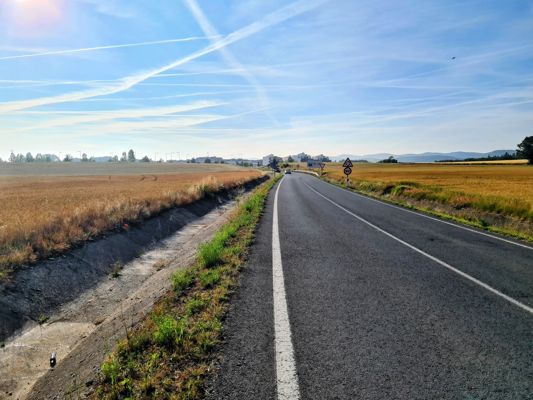
Day 136 · June 16
Kaixo! Welcome to Euskadi
Gometxa → Dulantzi / Alegría · 21.0 km · ↗ 219 m
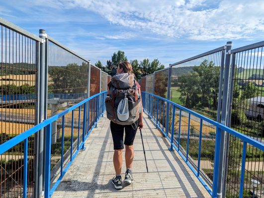
Day 137 · June 17
A three-toed skink and a nutmeg orchid
Dulantzi / Alegría → Albeiz / Albéniz · 22.4 km · ↗ 196 m
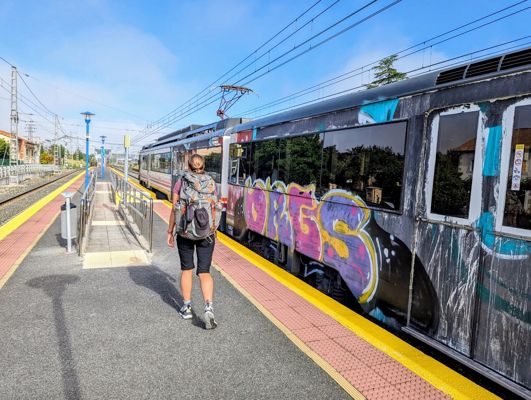
Day 144 · June 24
The first cherries and the last plain
Albeiz / Albéniz → Etxarri-Aranatz · 26.0 km · ↗ 254 m
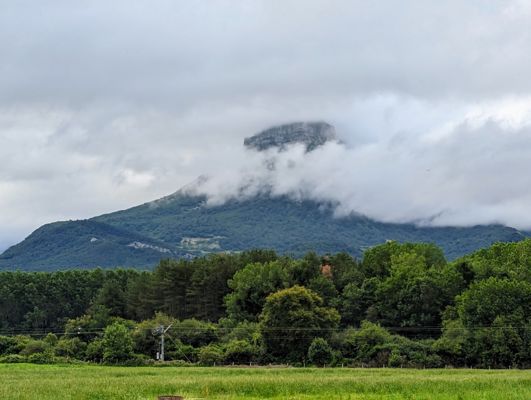
Day 146 · June 26
The gorilla mountain and the Etxera banners
Etxarri-Aranatz → Irurtzun · 26.2 km · ↗ 266 m
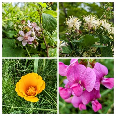
Day 147 · June 27
Looking back on a thousand kilometres of Spain
Irurtzun → Pamplona / Iruña · 26.2 km · ↗ 567 m
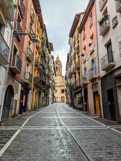
Day 152 · July 2
Into the mountains
Pamplona / Iruña → Zubiri · 24.3 km · ↗ 385 m
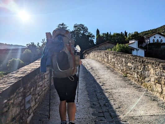
Day 153 · July 3
Lard cakes and gospel by the river
Zubiri → Aurizberri · 17.5 km · ↗ 688 m
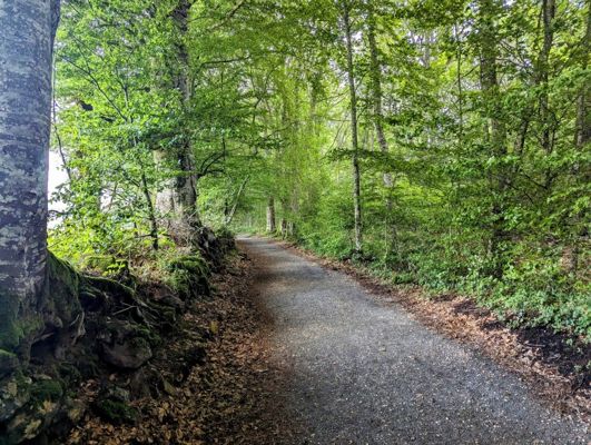
Day 154 · July 4
Roncesvalles and the quiet side of the Pyrenees
Aurizberri → Estérençuby · 24.2 km · ↗ 755 m
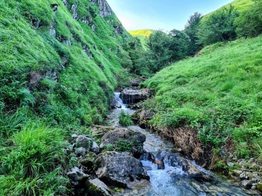
Day 155 · July 5
Lost in the ferns
Estérençuby → Chalets d'Iraty · 19.7 km · ↗ 1287 m
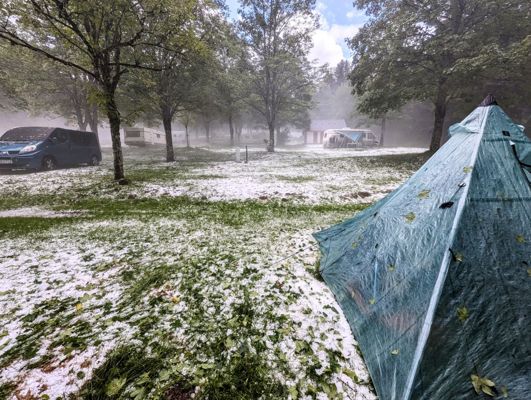
Day 158 · July 8
Hail, vultures and a curious cow
Chalets d'Iraty → Ardané · 22.3 km · ↗ 1304 m
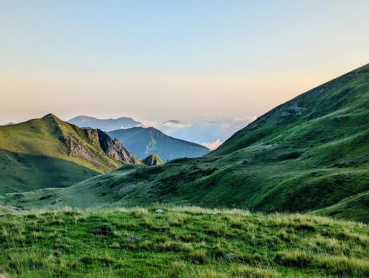
Day 159 · July 9
Alone on the mountain, alone in the world
Ardané → Pic d'Anie · 19.6 km · ↗ 968 m
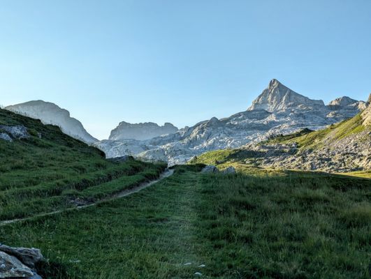
Day 160 · July 10
Scrambling through the boulder field
Pic d'Anie → Lescun · 17.0 km · ↗ 729 m
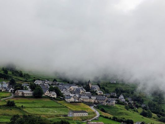
Day 163 · July 13
Above the clouds
Lescun → Col de lapachouaou · 21.7 km · ↗ 1607 m
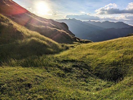
Day 164 · July 14
The most relaxed guard dog ever
Col de lapachouaou → Candanchú · 17.5 km · ↗ 879 m
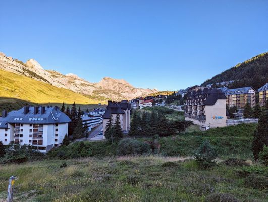
Day 165 · July 15
The mirror lakes of Anayet
Candanchú → Formigal · 22.7 km · ↗ 1069 m
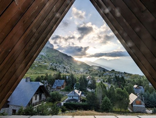
Day 167 · July 17
From luxury hotel to mountain tent
Formigal → Majada de Llena Cantal · 18.2 km · ↗ 1202 m
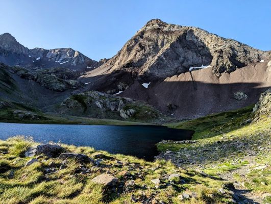
Day 168 · July 18
Snowfields and steel cables
Majada de Llena Cantal → Baños de Panticosa · 13.3 km · ↗ 734 m
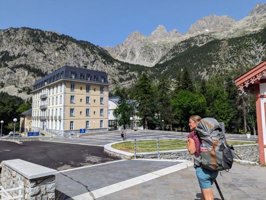
Day 169 · July 19
Coming home to a special place
Baños de Panticosa → Bujaruelo · 21.7 km · ↗ 1115 m
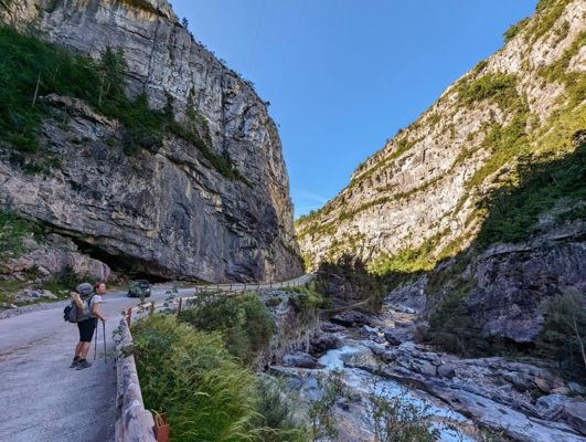
Day 175 · July 25
Edelweiss in Ordesa
Bujaruelo → Col de Arrablo · 29.7 km · ↗ 1883 m
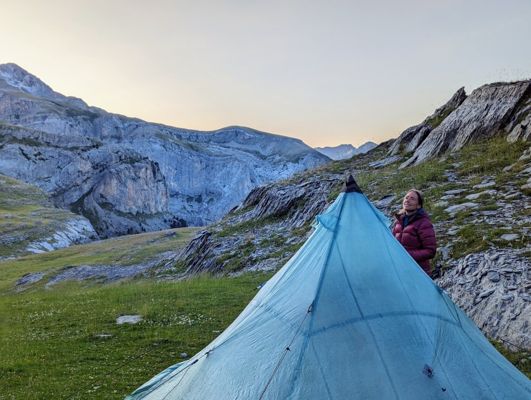
Day 176 · July 26
Spaghetti legs beneath Monte Perdido
Col de Arrablo → Espierba · 14.7 km · ↗ 875 m
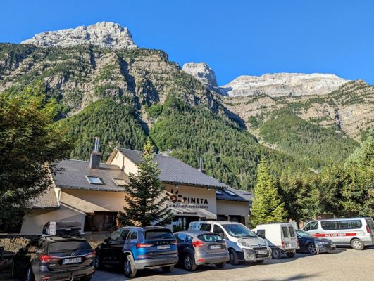
Day 177 · July 27
The hidden glacial valley
Espierba → Parzán · 22.0 km · ↗ 1020 m
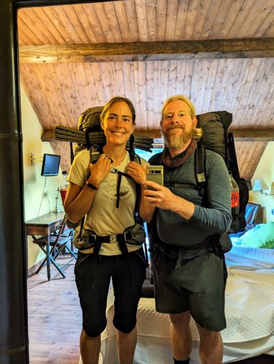
Day 179 · July 29
A hundred stages: from ocean to mountain top
Parzán → Gistain · 20.9 km · ↗ 1458 m
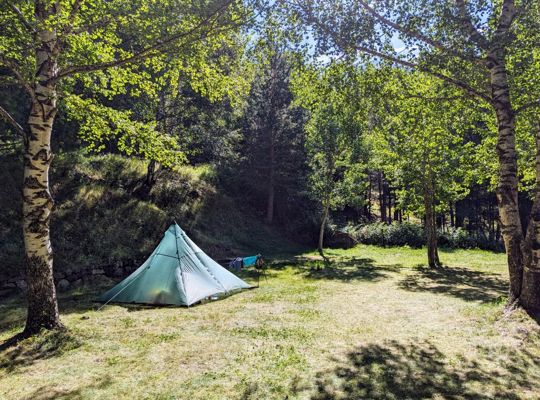
Day 183 · August 2
The smugglers' pass and the abandoned mine
Gistain → Lac du Milieu · 20.3 km · ↗ 2070 m
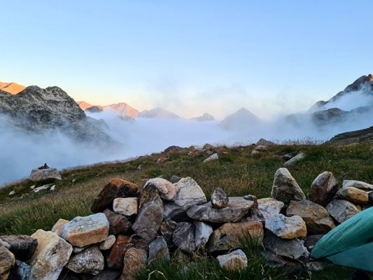
Day 184 · August 3
The longest day: fourteen hours into the dark
Lac du Milieu → Benasque · 18.9 km · ↗ 1189 m
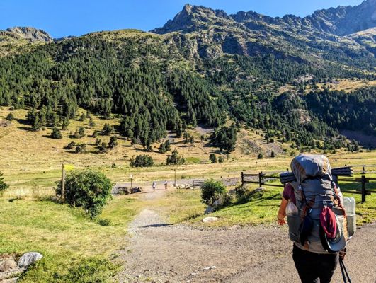
Day 187 · August 6
Above three thousand for the first time
Benasque → Tuc Mulleres · 15.4 km · ↗ 1321 m
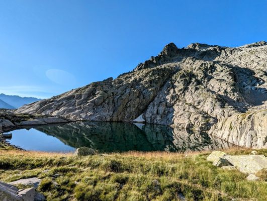
Day 188 · August 7
Starry skies above the Pyrenees
Tuc Mulleres → Refuge Conangles · 7.1 km · ↗ 47 m
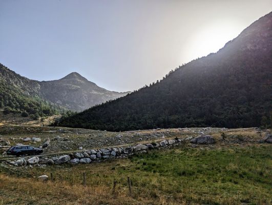
Day 191 · August 10
The story of the tunnel and the refugees
Refuge Conangles → Lac de Mar · 12.9 km · ↗ 1120 m
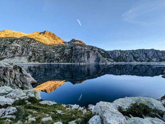
Day 192 · August 11
'Those people who started in Portugal'
Lac de Mar → Lac Obago · 13.2 km · ↗ 899 m
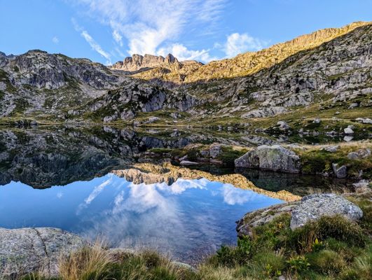
Day 193 · August 12
Stage two hundred
Lac Obago → Espot · 17.0 km · ↗ 463 m
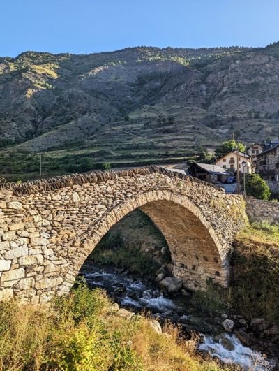
Day 196 · August 15
From granite to slate
Espot → la Guingueta d’Aneu · 12.2 km · ↗ 277 m
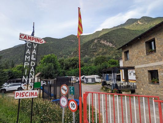
Day 197 · August 16
The ghost village with the geraniums
la Guingueta d’Aneu → Estahón · 12.5 km · ↗ 1315 m
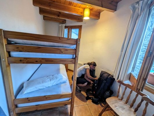
Day 198 · August 17
Civil War bunkers on the ridge
Estahón → Tavascan · 13.9 km · ↗ 754 m
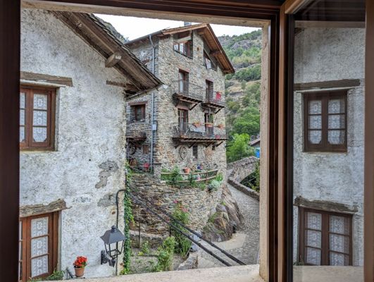
Day 199 · August 18
Bears in the forest
Tavascan → Àreu · 15.7 km · ↗ 1339 m
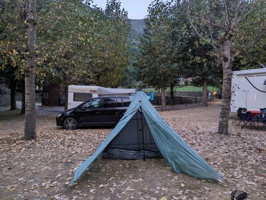
Day 202 · August 21
Six months of Spain, one final climb
Àreu → Arinsal (Andorra) · 27.6 km · ↗ 2062 m
Take a hike. Make some stories.
This story was made with Hike5
On the way you capture what you see: photos, notes, voice memos. In the evening Hike5 writes the story of your day, with your photos, the map and the numbers. Soon you can do this with your own hiking days. Leave your e-mail and you hear it first; never more than one mail a month.